Site logo
    • Explore
      • Blue-Blaze Trails
      • Land Trusts
      • State Parks and Forests
      • By Town
    • exploreCT+
      • Membership
      • Shop
      • Events
    • Blog
    • Town Guides
    Sign in or Register
    Listing cover image

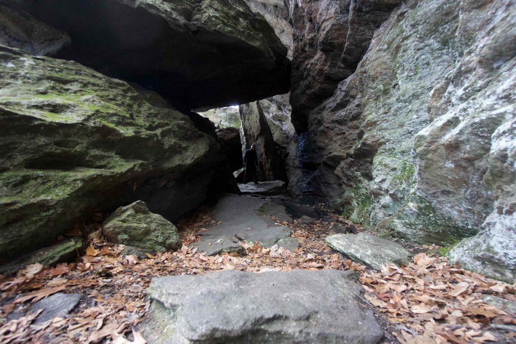
    Mattatuck: Leatherman Cave

    • Trails
      7 miles
    • Rating
      ★★★☆☆
    • Address
      JWQ6+WQ Watertown, CT, USA
    • Explore
    • Trail Map
    • Reviews 0
    • New Page
    • prev
    • next
    • Bookmark
    • Share
    • Get directions
    • Report
    • prev
    • next
    At A Glance

    Mattatuck: Leatherman Cave (Rock House) & Jericho Trail

    Connecticut State Forest

    945 acres in Watertown, CT

    Parking:

    • Alternate Parking at Black Rock State Park
    • North End: Shoulder parking near 1523 US-6, Watertown, CT
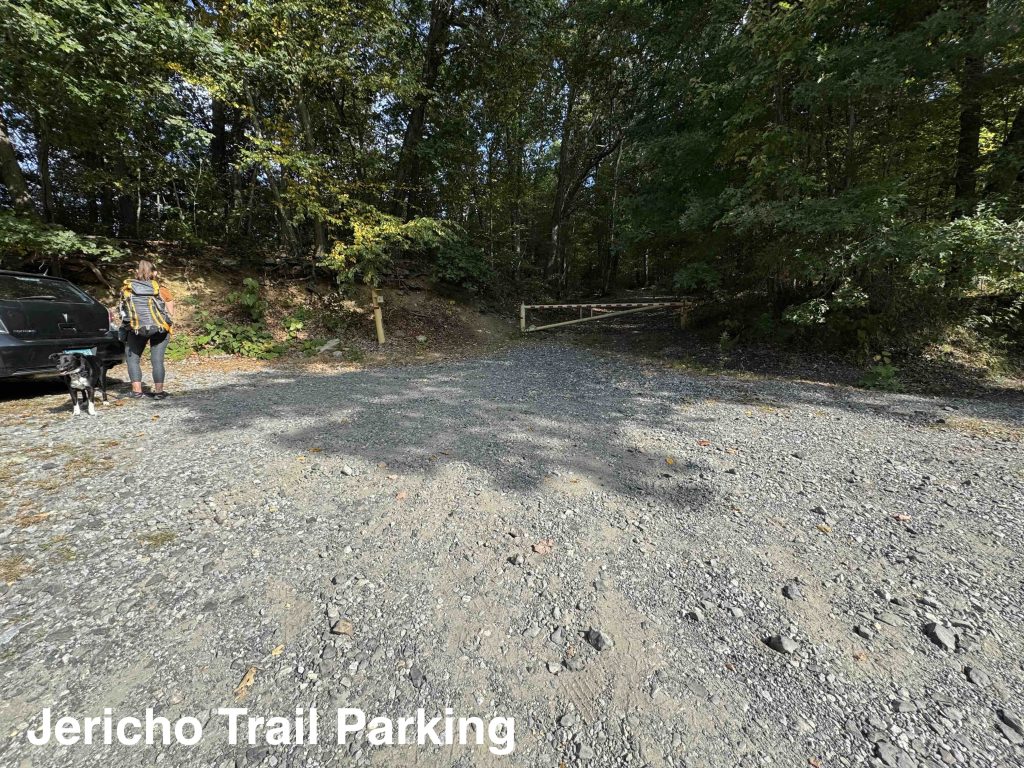
    • South End: Small lot near 1380 Echo Lake Rd, Watertown, CT

    Trail Map           Trails: 7 miles       Rating: ★★★☆☆

    This section of Mattatuck State Forest is known as Cave Block. Highlighted by Leatherman’s Cave, Rock House, a section of the 42 mile Mattatuck Trail, Jericho Trail, and a connection east to the Whitestone Cliffs.

    I hiked into the property after exploring Black Rock State Park as will most people who are hoping to reach the cave. I have also hiked in along the underrated Jericho Trail from the south.

    Hiking

    Mattatuck Trail – 1.9 miles

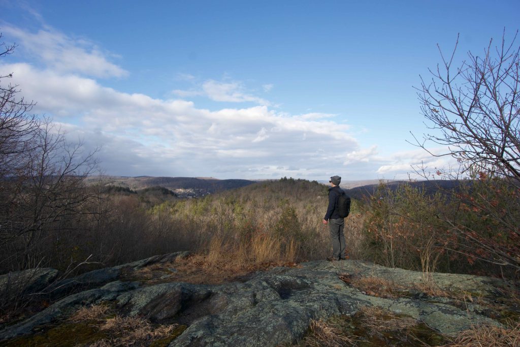
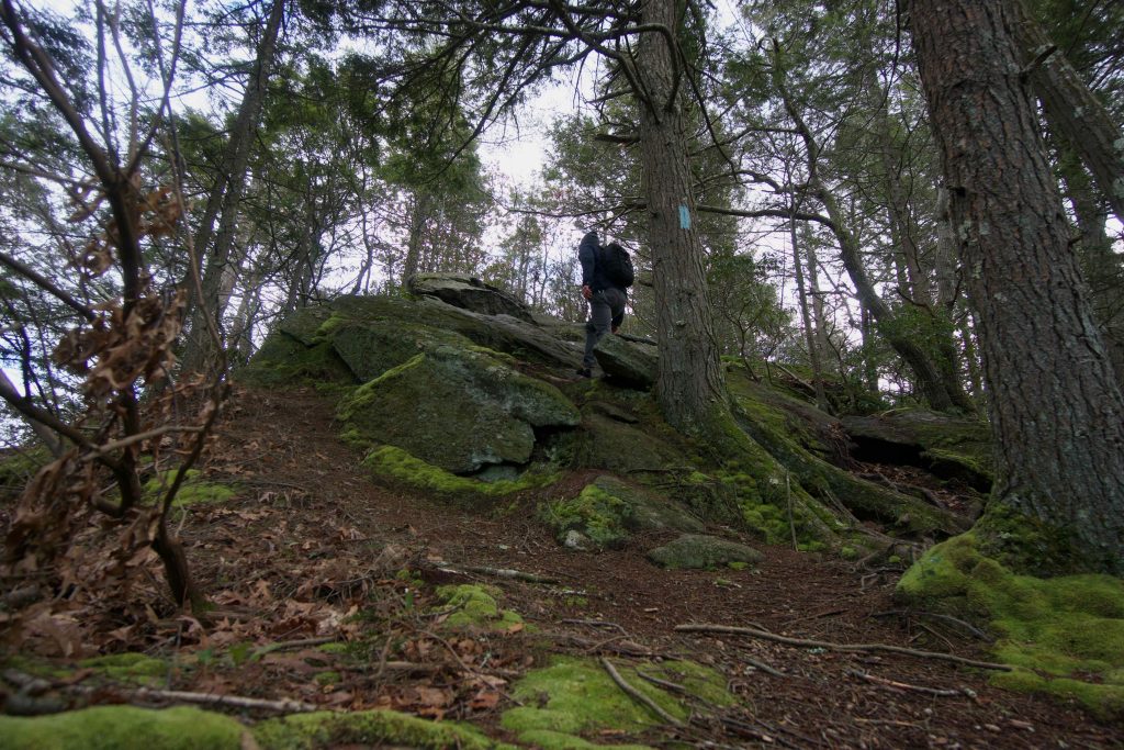
    • After crossing Route 6 the trail climbs steadily to a rocky ridge with a couple views east. The trail then descends slightly to climb again to Crane Hill Overlook which has nearly 180 degree views north.  From the overlook your nearly on top of the cave.  The trail descends along the east side of the rock back into the woods on the low side to the Jericho Trail junction.  Taking a left at the fork takes you down along the rocks and the blazes will lead you through the cave.

    Jericho Trail – 3.3 miles

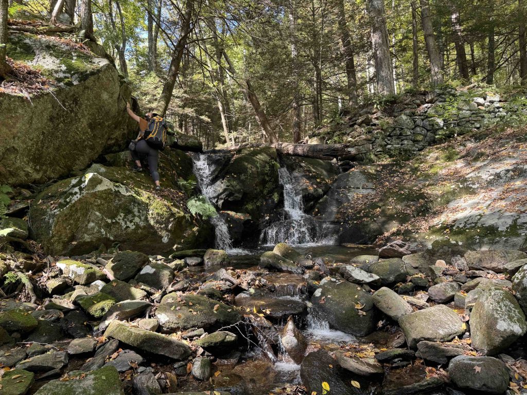
    • The blue blaze Jericho trail starts behind a state forest gate off Echo Lake Road at the sound end of the forest. The first third of the trail is rolling forest without much to note.  The second third is wild and remote feeling climbing and descending into draws between ridges and rocky ledges.  The trail also briefly follows Jericho Stream with a small man-made waterfall over old dam/mill ruins. The last third has been pretty torn up by dirt bikes until reaching some old woods roads to reach the junction with the Mattatuck Trail

    Branch Brook Trail – 1.1 miles

    • Unexplored

    The ‘cave’ known at the ‘Rock House’ is pretty standard for most things labeled as caves in Connecticut, a big pile of slabs and boulders. The trail goes through the cave in a narrow gap between the rocks, ducks under a boulder, and climbs through two rooms to an open backside. It is completely worth seeking out and provides a great opportunity to learn about the Leatherman historical figure.

    There is another ‘cave’ on the property that might be the ‘real’ cave used by the Leatherman which Steve from CTMQ writes about here, I have not yet explored it.

    History

    The state has owned the property since

    The first 16 editions of the Connecticut Forest and Park Association’s Walk Book called this cave the Rock House. The 1993 edition was the first to call it Leatherman Cave.

    Links

    Peter Marteka – See the legendary Leatherman’s Cave when you take a hike through Black Rock State Park in CT’s Litchfield County (2023)

    Peter Marteka – Following The Mysterious ‘Leatherman’ To His ‘Cave’ In Watertown (2014)

    CTMQ – Jericho Trail (2009)

    CTMQ – The Rock House (2009)

    Tags
    • ★★★☆☆
    • 2020
    • 2024
    • Explored
    • Caves
    • Mattatuck State Forest
    • Mattatuck Trail
    • Overlooks
    • Peter Marteka
    • Waterfalls
    • Watertown
    Last Updated

    The information shown here is for general reference purposes only. exploreCT.org gives no warranty, expressed or implied, as to the accuracy or reliability of this data. Parking in all areas, whether designated here or not, is at your own risk. exploreCT.org is not responsible for any damage or loss to vehicles or contents. Last updated September 22nd, 2024

    Trail Map
    Location
    • JWQ6+WQ Watertown, CT, USA

      Get Directions
    Gallery
    Video
    Categories
    • Hiking
    Gallery
  • No comments yet.
  • Add a review

    Leave a Reply · Cancel reply

    You must be logged in to post a comment.

    You May Also Be Interested In

    Spruce Brook Falls

    • ★★★★★
    • 16 miles
    Featured
    FW6F+CW Beacon Falls
    • Quick view
    • Bookmark

    White Oak Preserve

    • Unexplored
    • 0.2 miles
    600 Raymond Hill Rd
    • Quick view
    • Bookmark

    Woodlands Nature Preserve

    • Unexplored
    • 0.5 miles
    99 Beacon Hill Dr
    • Quick view
    • Bookmark

    Hi, I’m Matt.

    I’m building ExploreCT to be the guide for all your outdoor adventures. All the trails, views, and waterways this great state has to offer.

    Now get out and explore!

    Monthly Newsletter

    Each month I share site updates or an interesting article in my newsletter. It’s short, sweet, and practical.

    600+ explorers read it, I’d love for you to join.

    Thank you!

    You have successfully joined our subscriber list.

    X-twitter Youtube Envelope Instagram

    Cart

      • Facebook
      • X
      • WhatsApp
      • Telegram
      • LinkedIn
      • Tumblr
      • Reddit
      • VKontakte
      • Mail
      • Copy link
      • Share via...
      • Threads
      • Bluesky