Machimoodus State Park

Connecticut State Park

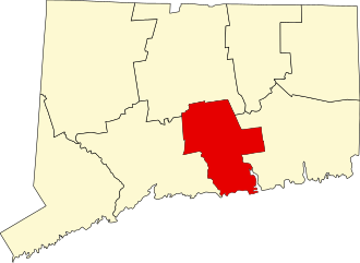
300 acres in East Haddam, CT

Parking: Medium lot at 128 Leesville Rd, Moodus, CT

Trail Map         Trails: 4 miles        Rating: ★★☆☆☆


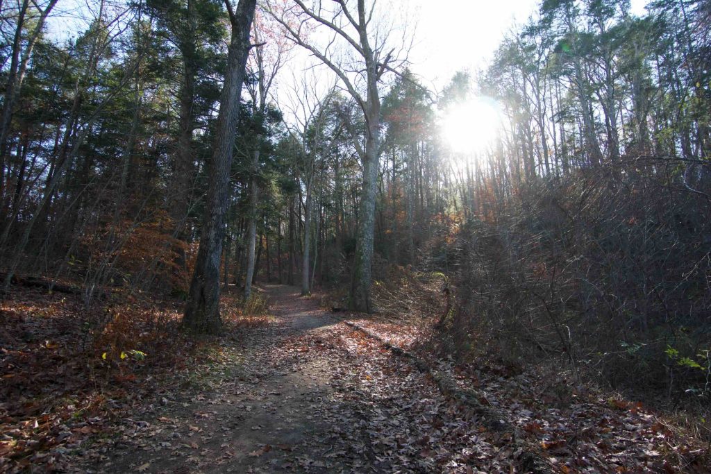
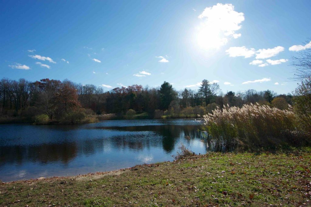
Machimoodus State Park offers about four miles of trails ranging from the heights of Mt. Tom (at a whopping 312 ft, but not that Mount Tom) to the lows of Salmon Cove.  There are several areas around the ponds near the parking area that have picnic tables and secluded spots.  To get it out of the way, no I haven’t heard the Moodus Noises yet, though I still hope to!

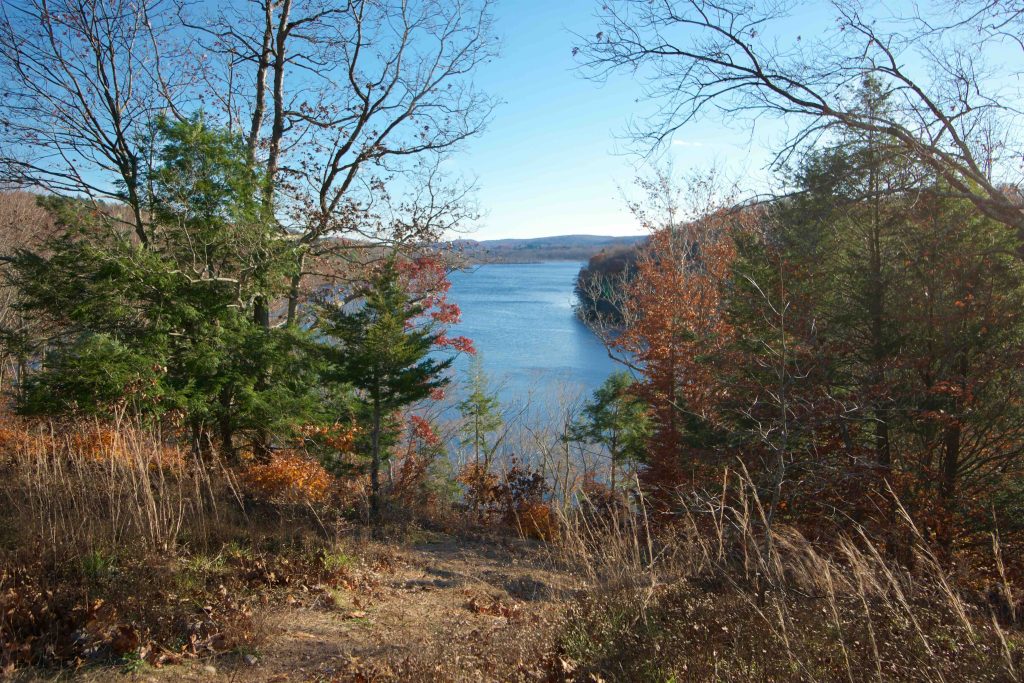
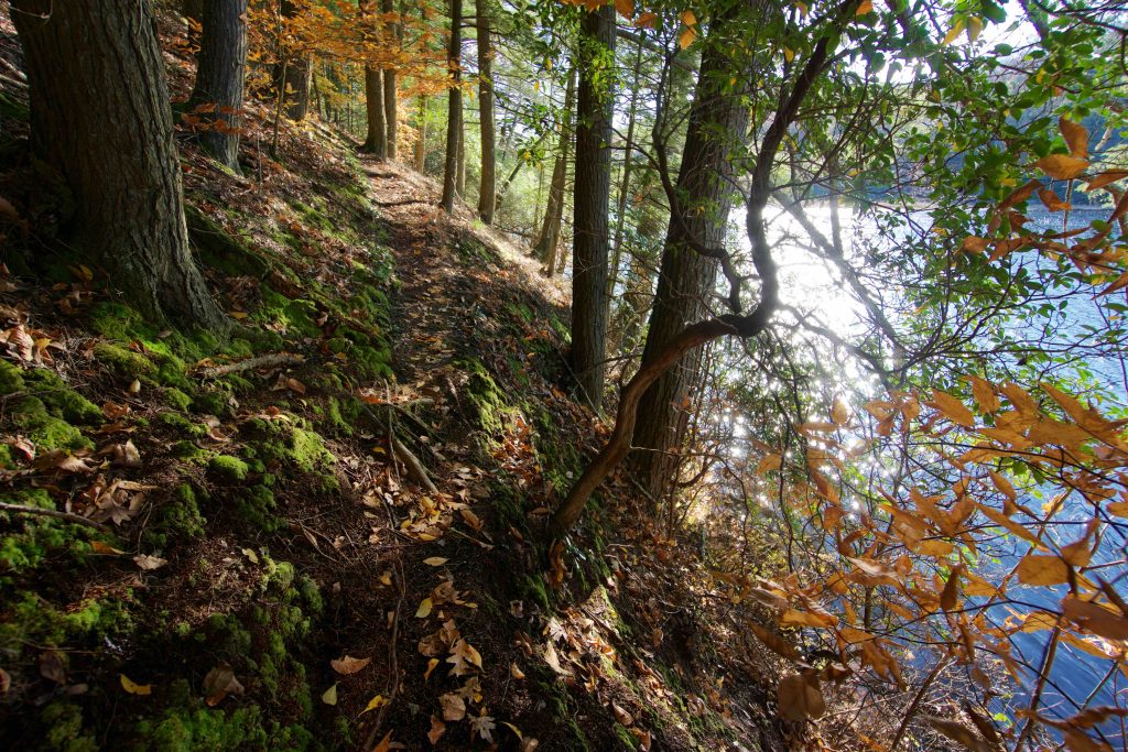
There is a trail heading directly north from the parking lot that goes to Sunrise State Park.  The trails for Machimoodus start surrounded by the small pond to the left of the parking lot.  The most traveled trail is the wide gravel path heading down to the lower vista.  The entire way is about 3/4 of a mile of easy walking that takes you directly to the overlook.  The overlook is just a small slice in the trees to Salmon River Cove where the Moodus River joins the Salmon River.  The river was high and wide on my recent hike here thanks to recent rains which made it feel like you were looking at a much mightier river.

There are a couple offshoots from the Lower Vista Trail.  Two that head east uphill to the Upper Vista Trail, both of which seem seldom used.  And two that head west toward the river.  One unblazed trail heads down halfway down the steep bank of the river and then precariously follows it downstream to the blazed river access trail.  Along the way is a rope swing and a perfect jumping off spot into the river.  If it had been warmer than 37° I might have considered it.

The upper vista provides a very similar view as the lower vista just with more trees blocking it.  The Upper Vista Trail doesn’t have much to note other than a nice leg of the loop here.

The least traveled trails here are the blazed but unnamed ones that are a simple soggy loop.  The trail map shows a connection to Leesville Rd, but either I completely missed it or it is so unused as to disappear.

History:

Established as a state park in 1998 it is the site of the former Echo Dairy Farm.  The name comes from the Native Americans who passed through the area, “as noisy rumblings and echoes were witnessed in turn by the Pequot, Mohegan, and Narragansetts, they referred to this location as “the place of bad noises” or Machimoodus.”  Apparently the result of ‘micro-earthquakes’ based on geologist’s findings in 1981.


Links:

The information shown here is for general reference purposes only. exploreCT.org gives no warranty, expressed or implied, as to the accuracy or reliability of this data. Parking in all areas, whether designated here or not, is at your own risk. exploreCT.org is not responsible for any damage or loss to vehicles or contents.
Last updated November 14th, 2018

Visited 4308 times, 2 Visits today

Related Listings

Lillinonah Trail

★★★☆☆

152 Hanover Rd, Newtown, CT, USA

Paugussett State Forest: Lillinonah Trail Blue Blaze Trail and Connecticut State Forest 1048 acres in Newtown, CT Parking: Small pull-off near 158 Hanover Rd, Newtown, CT Medium…

Campbell Falls State Park

★★★★☆

117 Old Spaulding Rd, Norfolk, CT, USA

Campbell Falls State Park Connecticut State Park 102 acres in Norfolk, CT Parking: Small lot near 117 Old Spaulding Rd, Norfolk, CT Trail Map.         …

Auerfarm State Park

★★☆☆☆

41.814364, -72.767321

Auerfarm State Park / 4-H Education Center at Auerfarm Connecticut State Park / Scenic Reserve 40 acres in Bloomfield, CT Parking: Small lot near 50 Auer Farm…