Kongscut Mountain / Phillips Cave Loop
1,100 acres in Glastonbury, CT
Parking: Small pull of near 887 Goodale Hill Rd, Glastonbury, CT
Trail Map Trails: 4 miles Rating: ★★★☆☆
Only a small ‘Hunting Permitted’ sign greets you as you pull off Goodale Hill Road, but there is lots to explore in this hidden gem on a dirt road in Glastonbury. There are old cars amongst the trees, a Native American rock shelter, and a great western overlook.
Hiking
Phillips Rock Loop – 2.2 miles
I started off on the yellow blazed Phillips Cave Loop taking the right fork which heads gradually downhill for about a half mile until turning as it nears old farm fields evidenced by the barbed wire along the trail. Just a bit further was a well worn side path faintly blazed in orange. I took it assuming it was the side trail leading the cave instead if winds for nearly half a mile up and over a hill.
There is an old Plymouth rusting in the woods perhaps a 1950s Fury with chrome fins. Beyond that the trail dead ends at private property as it gets close to Thompson St. While the car was a nice surprise the extra mile wasn’t worth it.
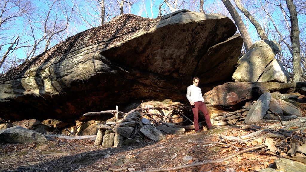
Back on the yellow trail I soon reached the actual side trail to the cave. Just around the bend the “cave” is a rocky overhang that’s not too deep, but has a bit to explore. A well crafted fire pit has blackened the rocks for who knows how long. The one bit of information I could find mentioned off-hand in a Marteka article says that arrowheads and more were found in the area of the cave and are now on display at the Glastonbury Museum.
Once again back on the yellow trail it climbs through successive rocky ledges until reaching a four way trail junction in an area of dead trees. Only one is blazed which brings you back to the parking area, but one leads to a different point on Goodale Hill Road and I suspect the other (assuming it doesn’t fade away) connects all the way south to the Dark Hollow Section of the Shenipsit Trail.
There is also a trail which splits the middle of the yellow trail (not shown above) called Senner’s Rock but I didn’t explore this either.
Kongscut Mountain –
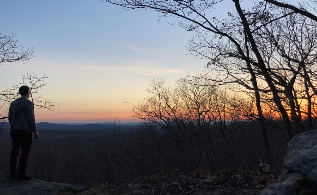
Across Goodale Hill Road from the parking area is the Kongscut Mountain Trail. It’s only about a third of a mile up to the overlook with about 200ft of steep climb. The overlook has views southwest, which is great for sunset and the view was surprisingly great across the hills. During summer foliage the view may be reduced a bit, but was excellent at the end of winter.
The trail continues off Kongscut Mountain meandering through mountain laurel and hilly terrain until reaching Ash Swamp Road. The shoulder didn’t appear good for parking, nor is the trail particularly interesting so I would skip it unless you want the little extra distance.
History:
Mentioned in a Peter Marteka article about Coginchaug Cave, “In 1957, more than 450 Indian artifacts, including arrowheads, spear points, and ax and adze heads, were found in a place called Phillips Cave in Glastonbury’s Kongscut Mountain.”
Links:
Trail Forks – Phillips Indian Cave Loop Trail
The information shown here is for general reference purposes only. exploreCT.org gives no warranty, expressed or implied, as to the accuracy or reliability of this data. Parking in all areas, whether designated here or not, is at your own risk. exploreCT.org is not responsible for any damage or loss to vehicles or contents.
Last updated March 9th, 2021
Video
Visited 4021 times, 2 Visits today