Kimball Memorial Forest

New England Forestry Foundation

173 acres in Pomfret, CT

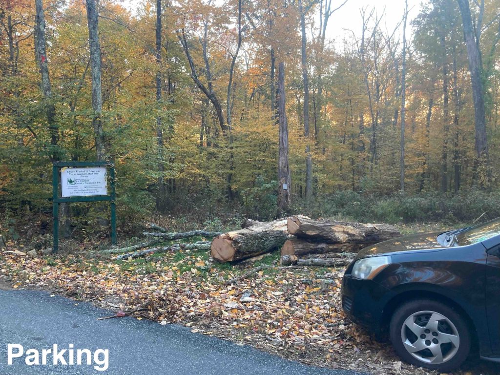
Parking: Shoulder parking near 175 Wolf Den Rd, Pomfret Center, CT

Trail Map      Trails: 1 mile      Rating: ★★☆☆☆


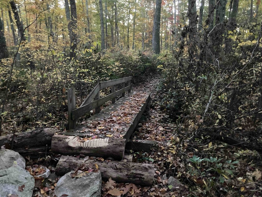
I highly recommend this hike despite it being an out of the way location and only 1 mile round trip. Starting from the nice trailhead sign on Wolf Den Road the trail descends a hill curving down through open forest to a long stretch of boardwalk over a marshy area.

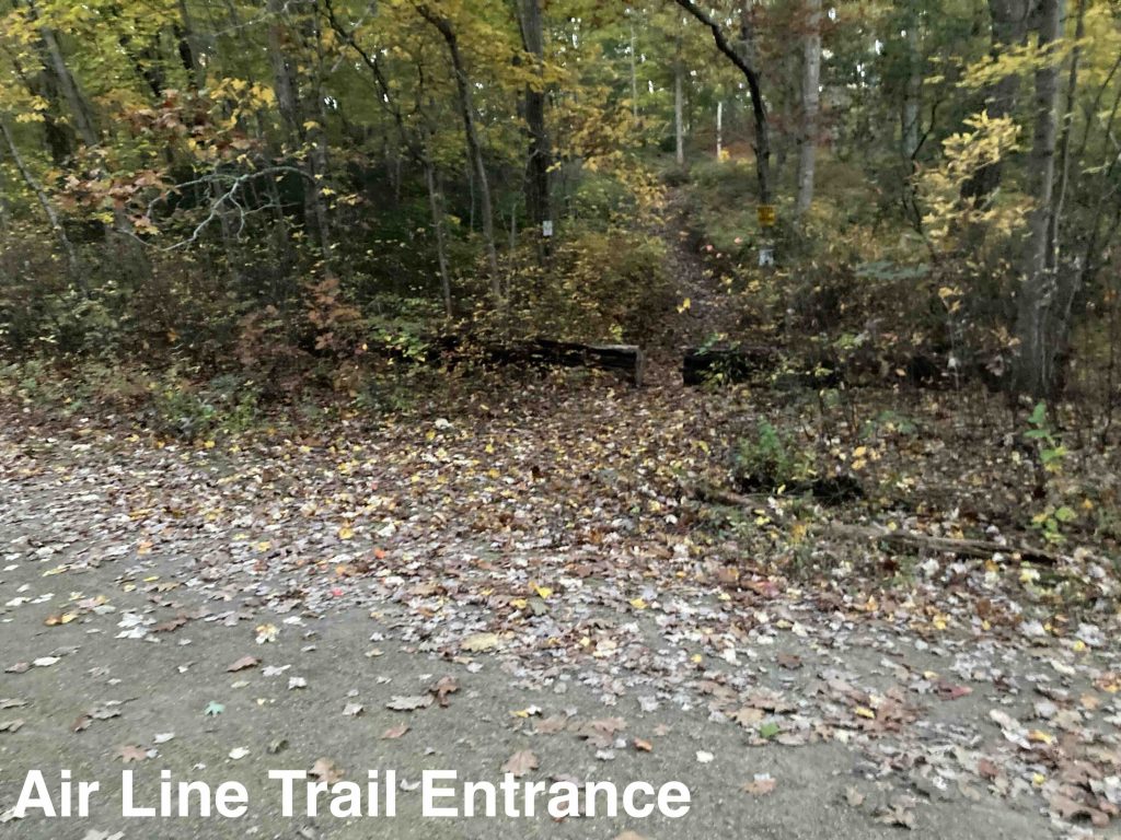
The trail is unblazed but was easy to follow and well maintained despite copious fall leaves.  Beyond the boardwalk the trail rolls over tiny hills alternating dense mountain laurel and low blueberry.  About 0.4 miles in the trail forks in three directions.  The hard left turn continues this forest’s trail to connect to the Air Line Trail after crossing a rustic bridge.  This appears to be a pretty recent reroute (likely occurring in 2021).

Either the straight fork or the right fork leads you into the Loop de Loop trail of adjacent Pomfret Forest.  This is some well crafted mountain bike trail that was also thoroughly enjoyable to hike.  After hiking out to the Air Line I extended my hike with this loop for a full two miles round trip back to the parking area.  This loop travels through more dense mountain laurel, rocky stretches, and a couple mountain bike features.

From the NEFF website,

The forest consists of a variety of oaks with pine, hemlock, and other hardwoods mixed throughout. According to the wishes of the donors, neither hunting nor trapping (except fox hunting on horseback) is not allowed on the property.

History:

This property was given to NEFF in 1996 as a gift from the wills of Chase Kimball (1902-1977) and Mary Lee Evans Kimball (1911-1989). The land was purchased by the Kimballs in 1965 to protect their adjacent land, which has been in the Chase and Kimball families since 1814, and continues to be so.


Links:

The information shown here is for general reference purposes only. exploreCT.org gives no warranty, expressed or implied, as to the accuracy or reliability of this data. Parking in all areas, whether designated here or not, is at your own risk. exploreCT.org is not responsible for any damage or loss to vehicles or contents.
Last updated October 19th, 2022

Visited 1351 times, 2 Visits today

Related Listings

North South Trail

★☆☆☆☆

41.850808, -71.795226

Rhode Island North-South Trail Rhode Island Thru Hike in Killingly, CT Parking: Park along Pond Rd near Killingly Pond State Park Trail Map      Trails: Less than a mile … Read more…

Preston Ridge Vineyard Disc Golf Course

★★★☆☆

100 Miller Rd, Preston, CT 06365, USA

Preston Ridge Vineyard Disc Golf Course Winery and Disc Golf Course 61 acres in Preston, CT Parking: Large lot near 100 Miller Rd, Preston, CT 06365, USA…

Connecticut’s Highest Point

★★★☆☆

CT Highpoint, Salisbury, CT 06068, USA

Connecticut’s Highest Point State Highpoint 4284 acres in Salisbury, CT Parking: Shoulder parking near East St, Salisbury, CT Trail Map          Trails: 1.5 miles   …