Humaston Brook State Park Scenic Reserve
Location: 141 acres in Litchfield, CT
Parking: Go past 4 Newton Rd Northfield, CT and take the next left at White Rd. There is small pull-off parking on the left or at the end of White Rd there is room for two cars
Trail Map Trails: 3 miles Rating: ★★☆☆☆
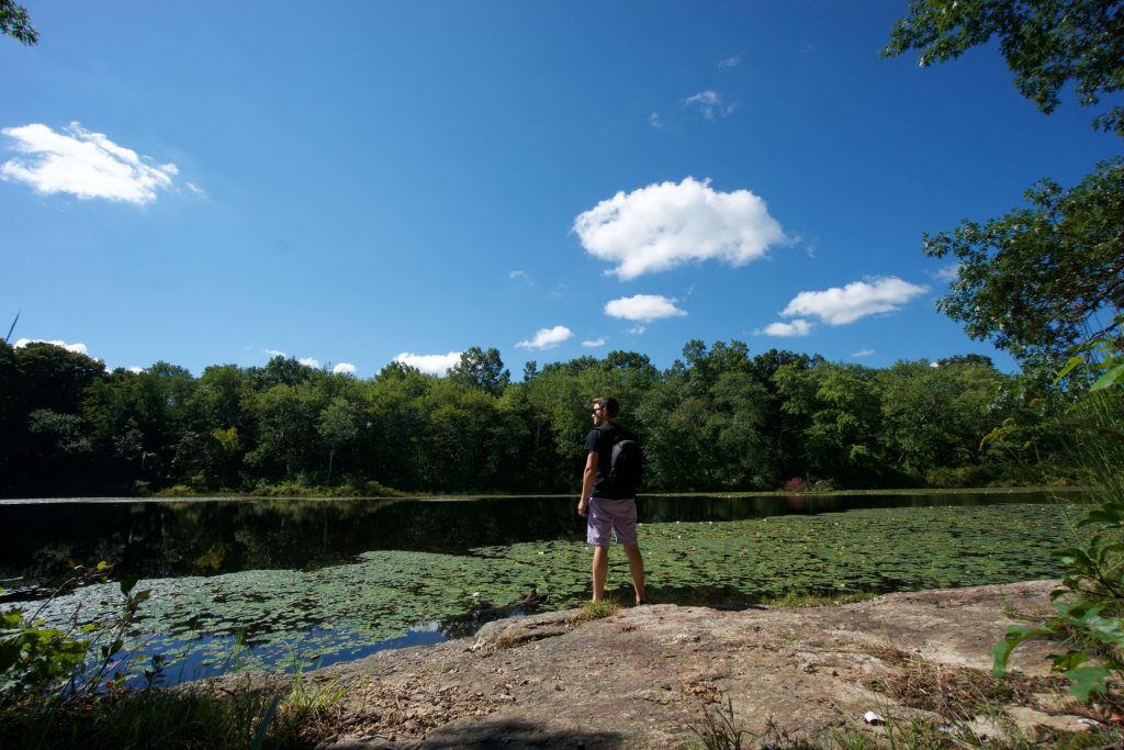
Humaston Brook is another of Connecticut’s undeveloped ‘scenic reserve‘ state parks. It preserves nearly two miles of the Humaston Brook as well as Northfield Pond.
Hiking
I visited this park on a gorgeous late summer day not knowing what to expect. Parking at a pull-off just a stone’s thrown down White Rd a trail leads from the pull-off to fishing spots along Northfield Pond. I flushed two wood ducks as I approached the viewpoint. I then took a much smaller much more overgrown trail to a second even more secluded spot.
The real bulk of trails is at the end of White Rd. I crossed over a small mound at the end of the dirt road (right next to two parking spots) and the trail was a wet former cart path. After about a half mile the trail forks. Not knowing how complex it would get I decided to take lefts until they each ran out.
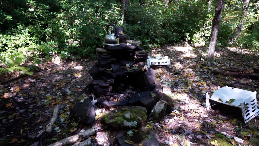
The first left led downhill to a secluded camping spot right next to the brook complete with fire pit and wood bench. The next left was very overgrown but eventually led almost to Windsong Dr. There were a couple of faint offshoot trails here, the one I took crossed a deep brook but I turned around instead. The next offshoot led to a small cascade and a second secret campsite. This one was much better outfitted with a two-level fire pit, tea kettle, and crates.
The next trail turned into a loop with a brief spur with another view of Humaston Brook, this one a more open marshy section. This loop is actually flagged with “Buried Electrical Cable” tape and winds through open forest before reaching a dense thicket of goldenrod, thorns, and bittersweet. If that wasn’t bad enough the last bit was a flooded section where I finally succumbed to the wet trail and soaked my shoes. The trail forked and seemed to lead uphill but stopped at a stone border marker right before reaching Fenn Rd extension. The trail then finally completed the loop. The total mileage was about 3 miles. While it was fun to explore, I wouldn’t recommend it for a casual walk.
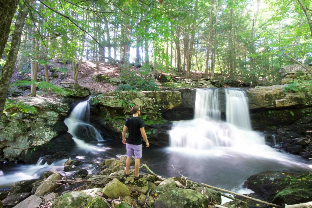
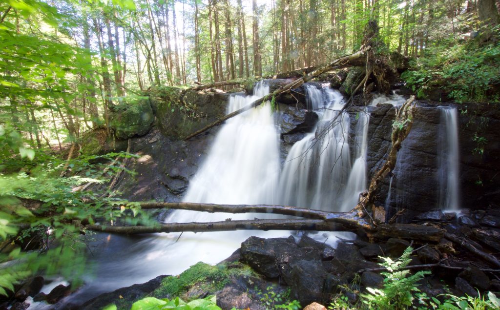
I will, however, highly recommend the waterfalls. To view Knife Shop Falls there is a small trail along Knife Shop Rd downstream from the dam. There are two small trails that are thick with poison ivy, but if you head a bit further down the road there will be a more open trail. A series of trails connect the upper and lower falls and pass all the foundations of the former Northfield Knife Company.
History:
Established as a park in 1920 part of the property is the former site of the Northfield Knife Company, its ruins can be seen along Humaston Brook south of the dam.
Links:
Peter Marteka – A Visit To A Forgotten Knife Company And A Trio Of Waterfalls (2018)
Waterfalls of New England – Knife Shop Falls
The information shown here is for general reference purposes only. exploreCT.org gives no warranty, expressed or implied, as to the accuracy or reliability of this data. Parking in all areas, whether designated here or not, is at your own risk. exploreCT.org is not responsible for any damage or loss to vehicles or contents.
Last updated Sept. 16, 2018
Video
Visited 4987 times, 1 Visits today