Site logo
    • Explore
      • Blue-Blaze Trails
      • Land Trusts
      • State Parks and Forests
      • By Town
    • exploreCT+
      • Membership
      • Shop
      • Events
    • Blog
    • Town Guides
    Sign in or Register
    Listing cover image

    Hospital Rock

    • Trails
      2 miles
    • Rating
      ★★★☆☆
    • Address
      M5RF+QJ Farmington, CT, USA
    • Explore
    • Trail Map
    • Reviews 0
    • New Page
    • prev
    • next
    • Bookmark
    • Share
    • Get directions
    • Report
    • prev
    • next
    At A Glance

    Connecticut Archaeological Preserve

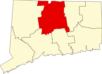
    Off the Metacomet Trail in Farmington, CT

    Parking: Closest official parking is near 168 Colt Hwy, Farmington, CT

    Trail Map              Trails: 2 miles         Rating: ★★★☆☆

    Hiking

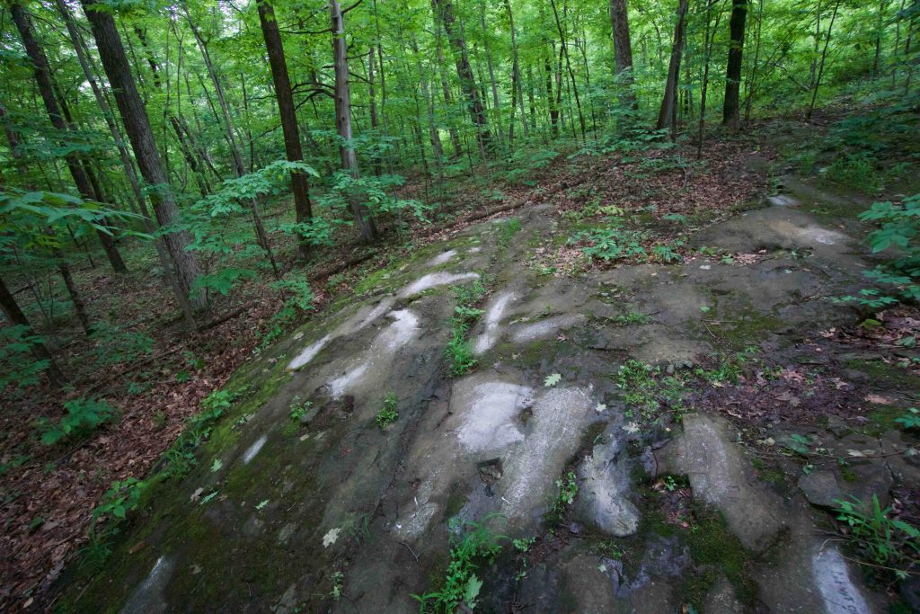
    Off the Metacomet Trail, near Pinnacle Rock and Lone Pine Cliff is the hidden Hospital Rock. 

    History

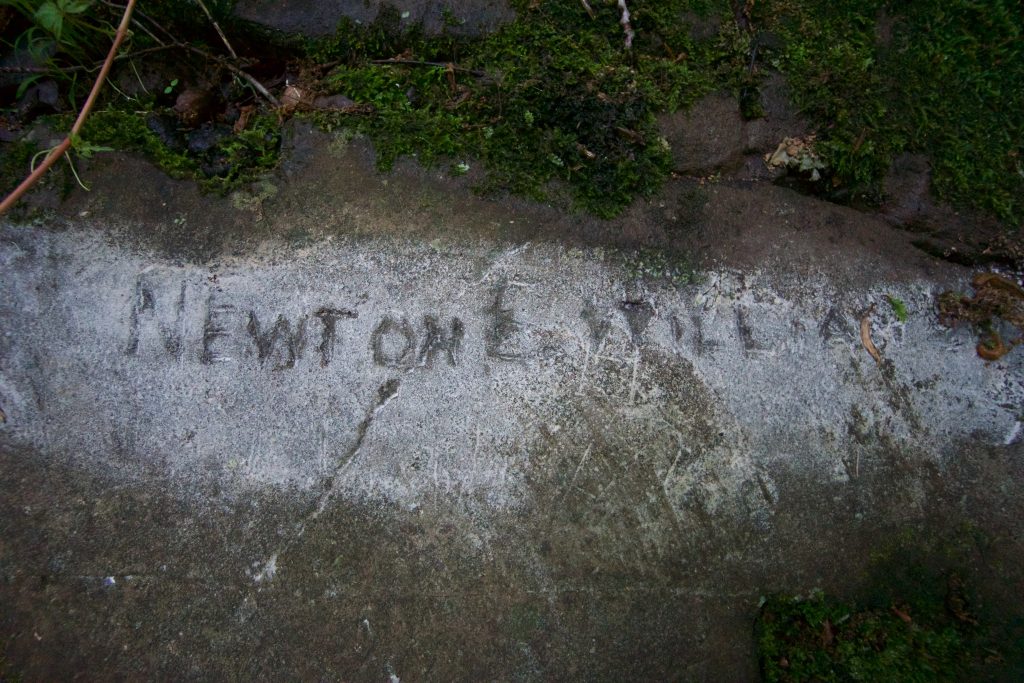
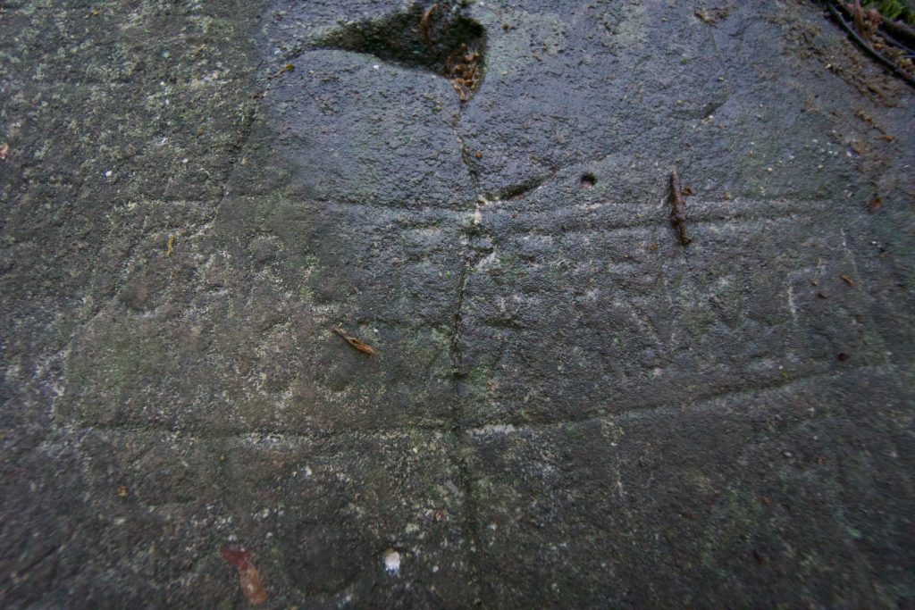
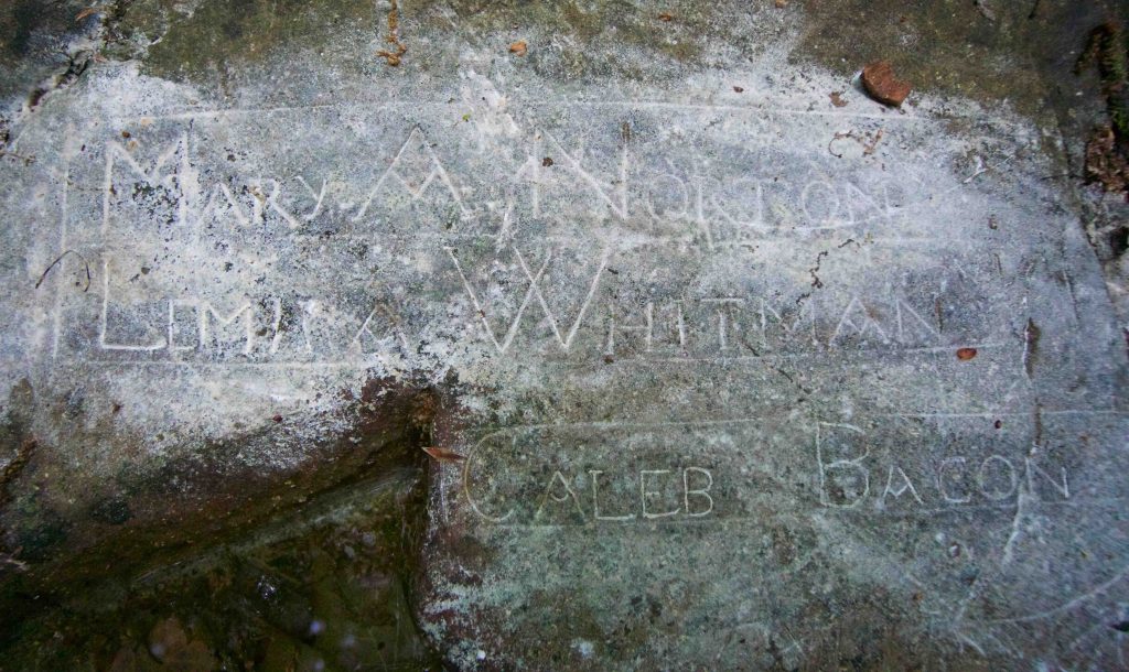
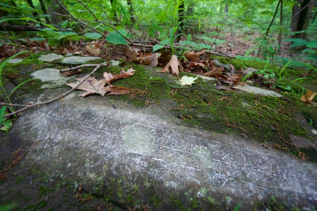
    Despite being a designated archeological site, the area is an unprotected piece of Connecticut history. The rock was located near a smallpox inoculation hospital in the late 1700s and was likely an area for recovering patients, who would otherwise be quarantined, to meet with family.  The hospital closed in 1794. The official count for 'original' inscriptions is 66, though my recent visit showed a number of carvings from the 1900s.

    In 2002 the Connecticut Historical Society named it a Historic Archeological Site and today it is an overgrown and well-weathered stone.  Many of the inscriptions are faint and hard to read.  Preservation has been considered for a long time, but likely due to easement issues the rock remains unprotected.

    Links

    Hog River Journal - Hospital Rock by Charles Leach, M.D.

    Shepard, James. “The Small-Pox Hospital Rock at Farmington, Conn.” In The Connecticut Quarterly - January, 1895 to December, 1895, Vol. 1. Hartford,  CT: The Connecticut Quarterly Company, 1895.

    Tags
    • 2018
    • ★★★☆☆
    • Explored
    • History
    • Farmington
    • Hartford County
    • State Archaeological Preserve
    Last Updated

    The information shown here is for general reference purposes only. exploreCT.org gives no warranty, expressed or implied, as to the accuracy or reliability of this data. Parking in all areas, whether designated here or not, is at your own risk. exploreCT.org is not responsible for any damage or loss to vehicles or contents. Last updated: 2018

    Trail Map
    Location
    • M5RF+QJ Farmington, CT, USA

      Get Directions
    Gallery
    Video
    Gallery
  • No comments yet.
  • Add a review

    Leave a Reply · Cancel reply

    You must be logged in to post a comment.

    You May Also Be Interested In

    Spruce Brook Falls

    • ★★★★★
    • 16 miles
    Featured
    FW6F+CW Beacon Falls
    • Quick view
    • Bookmark

    Jericho Preserve

    • Unexplored
    • 0.8 miles
    44 Whippoorwill Rd
    • Quick view
    • Bookmark

    Goberis Chadwick Preserve

    • Unexplored
    • 1.4 miles
    371 Shore Rd
    • Quick view
    • Bookmark

    Hi, I’m Matt.

    I’m building ExploreCT to be the guide for all your outdoor adventures. All the trails, views, and waterways this great state has to offer.

    Now get out and explore!

    Monthly Newsletter

    Each month I share site updates or an interesting article in my newsletter. It’s short, sweet, and practical.

    600+ explorers read it, I’d love for you to join.

    Thank you!

    You have successfully joined our subscriber list.

    X-twitter Youtube Envelope Instagram

    Cart

      • Facebook
      • X
      • WhatsApp
      • Telegram
      • LinkedIn
      • Tumblr
      • Reddit
      • VKontakte
      • Mail
      • Copy link
      • Share via...
      • Threads
      • Bluesky