Hollister Preserve
Glastonbury Town Park & Kongscut Land Trust
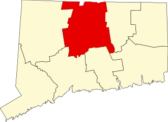
74 acres in Glastonbury, CT
Parking:
- Shoulder parking for 1-2 cars near 460 Tall Timbers Rd, Glastonbury, CT
- Shoulder parking for 2-3 cars near 60 Tall Timbers Drive, Glastonbury, CT
Trail Map Trails: 2.5 miles Rating: ★★☆☆☆
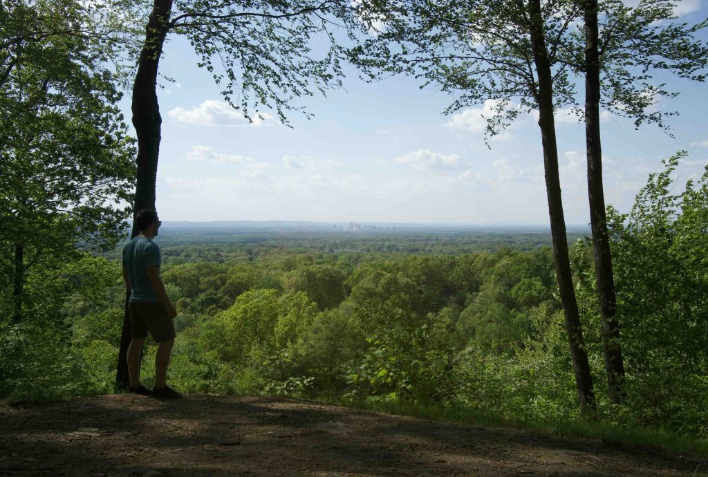
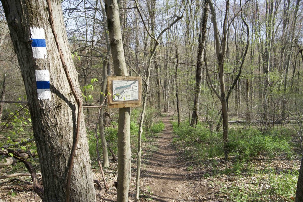
The first thing to note is that the trail map has north oriented down so it is effectively upside down. To add to the confusion a bit there is parking off both Tall Timbers Road and Tall Timbers Drive. And not only are there more trails than the ones noted on the map, even the main ones aren’t blazed in the colors noted on the legend. All that being said, this is a lovely hike with a great overlook with views north to Hartford.
Hiking
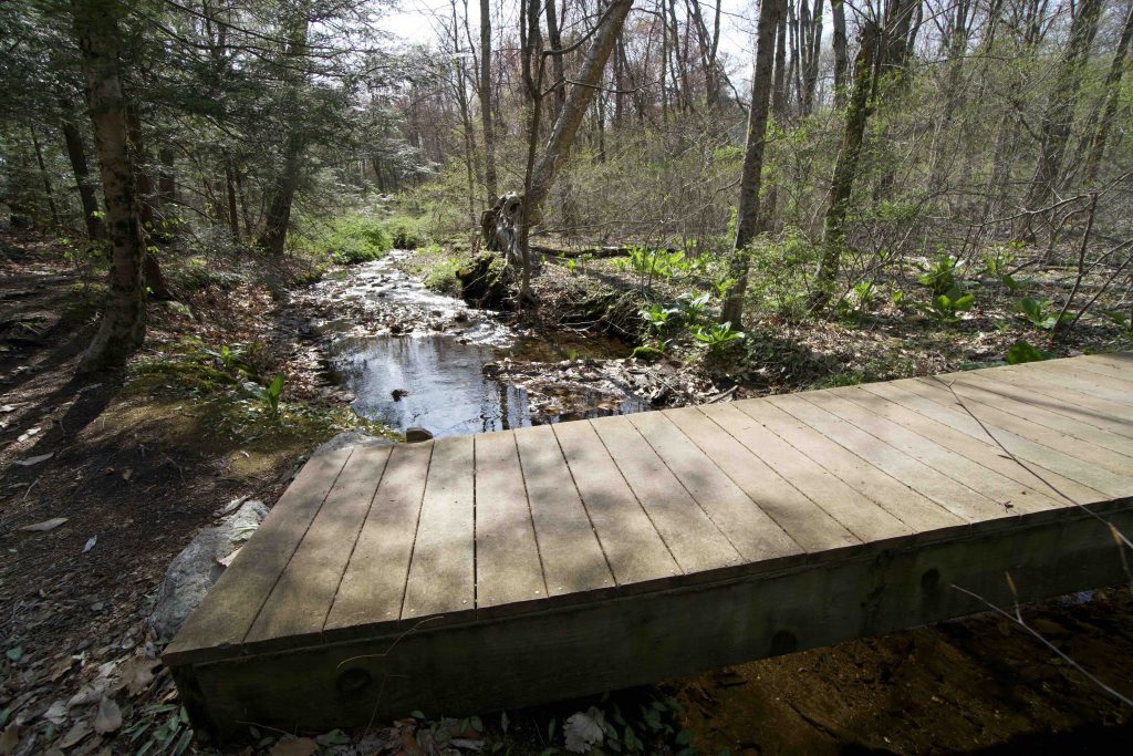
I started my hike off Tall Timbers Road taking the short access trail down to cross Smith Brook and onto the 1.5 mile white blazed loop. I took the right fork to follow the Smith Brook downstream which was running well on my spring visit. The trail was lined with hundreds of trout lilies, easily the most I’ve ever seen in one place.
At a bench overlooking the brook an unblazed trail leads up a gap between the rocks to to the upper half of the loop but the blazed trail continues for a long stretch following the brook. A sharp turn then leads you uphill and close to private property (there are also access trails to the Tall Timbers Drive parking or the Orchard Hill Club if you continue straight).
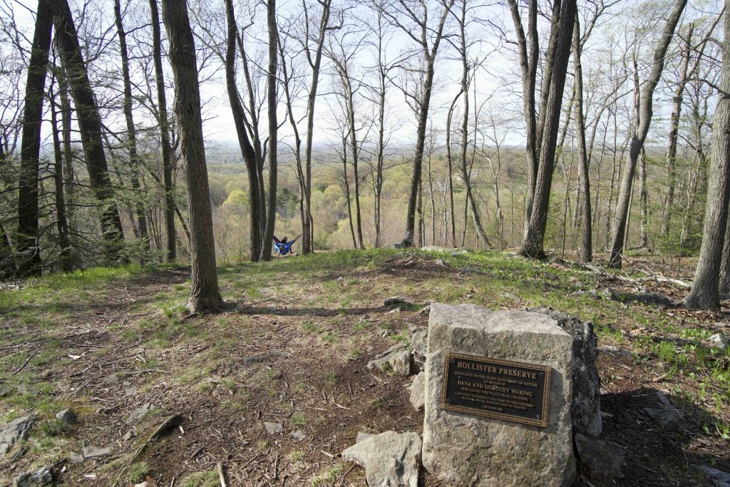
The quarter-mile steep climb crests at Dorothy’s Vista a great view north to the Hartford skyline. A small plaque afixed to a stone dedicates this section of the preserve to Dana and Dorothy Waring. A blue/white blazed trail crosses the main trail and connects with an old forest road that leads off the property.
I followed the white loop towards the Whitehouse Vista, but haven’t been able to find it on either of my visits so perhaps it was a forested view that has grown in. I also sought out the old quarry indicated on the map following the old woods road which has a number of connections to private property. You’ll notice a red blazed trail and small rock cairns. Just off the red trail is a wide trench that must be the quarry. I was expecting exposed rock, but really there isn’t much to see. The red trail continues off the preserve and onto private property until meeting a maze of mountain bike trails so I wouldn’t recommend following it. Instead complete the white loop back to the parking.
History:
Preserved in December 2004 by Michael, Peter, Richard, and DD Waring in honor of their parents Dana and Dorothy Waring.
Links:
CTMQ – KLT: Hollister and Whitehouse Family Nature Preserves (2014)
The information shown here is for general reference purposes only. exploreCT.org gives no warranty, expressed or implied, as to the accuracy or reliability of this data. Parking in all areas, whether designated here or not, is at your own risk. exploreCT.org is not responsible for any damage or loss to vehicles or contents.
Last updated May 18th, 2021
Video
Visited 2910 times, 2 Visits today