Hidden Valley Preserve
727 acres in Washington, CT
Parking: Large lots on either side of the bridge near 198 Bee Brook Rd, Washington Depot, CT
Trail Map Trails: 17 miles Rating: ★★★★☆
I actually find the trails here a bit confusing so if you’re planning a loop hike here its best to do a good consult of the trail map before setting off. Take a pic of the map or download it before since I didn’t have service once I entered the Hidden Valley. One helpful note is that all white diamond trails are connectors between two others though there are a handful that have been abandoned and are now logged off with signs saying ‘Trail Closed’.
Hiking
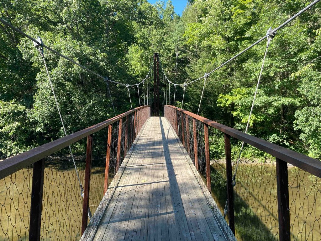
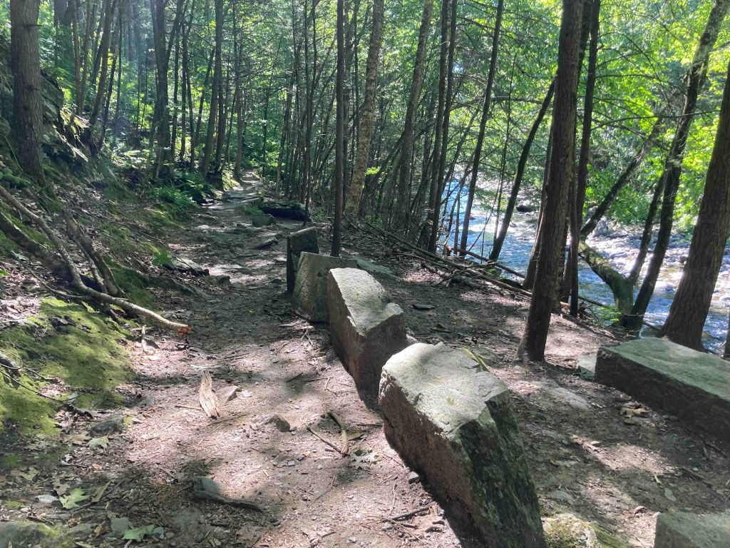
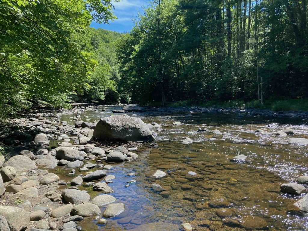
On my first visit I parked at the side south of the bridge and took off down the Orange Square trail along the Shepaug River. This narrow trail passes the Thoreau Bridge and follows the curve of the river. It is by far the most popular trail in the preserve and suspect many do it as an out and back easy hike for its beautiful views and fairly easy walking.
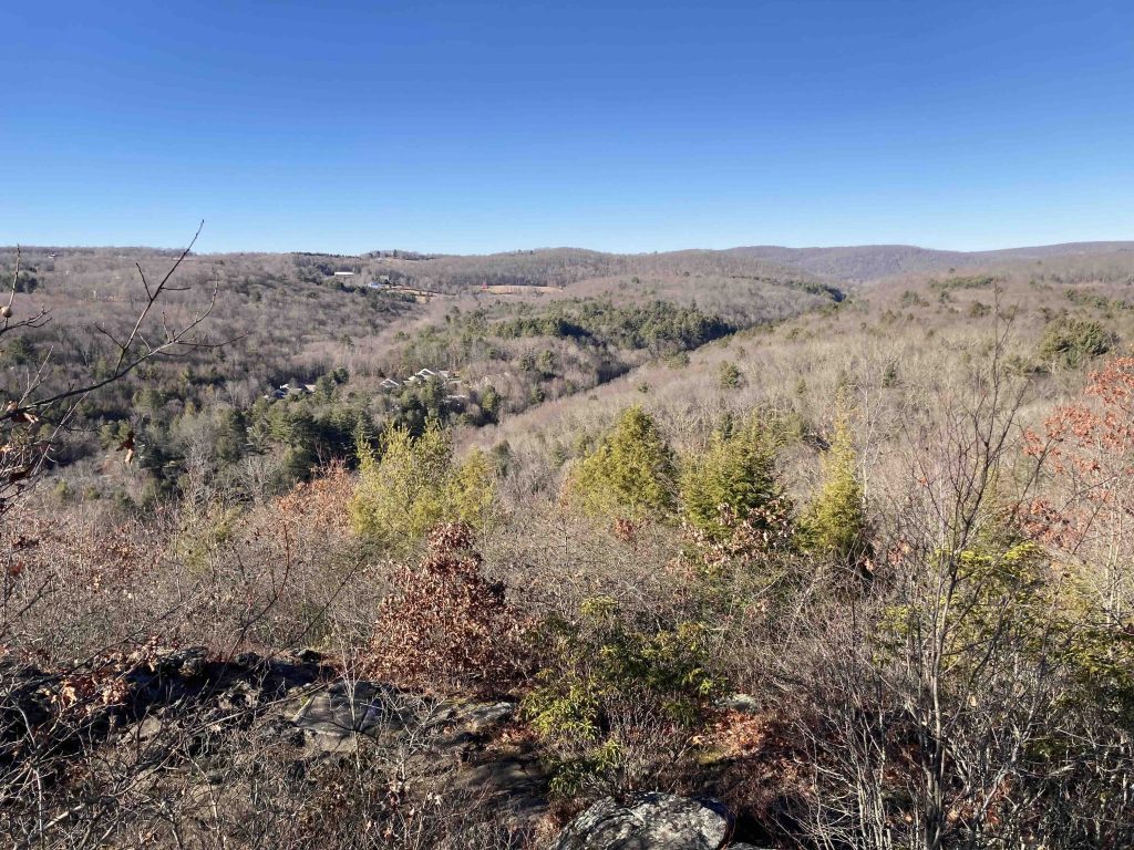
To hit the highlights of the preserve I suggest taking the yellow circle trail (off the gardens at the edge of the parking area) and follow the high south bank to the white diamond trail on a steep and somewhat rocky trail. This will kick off your hike not only with an invigorating climb, but also the great overlook from Hidden Valley’s Pinnacle.
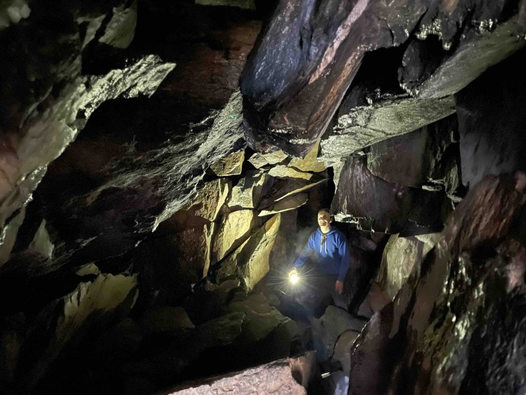
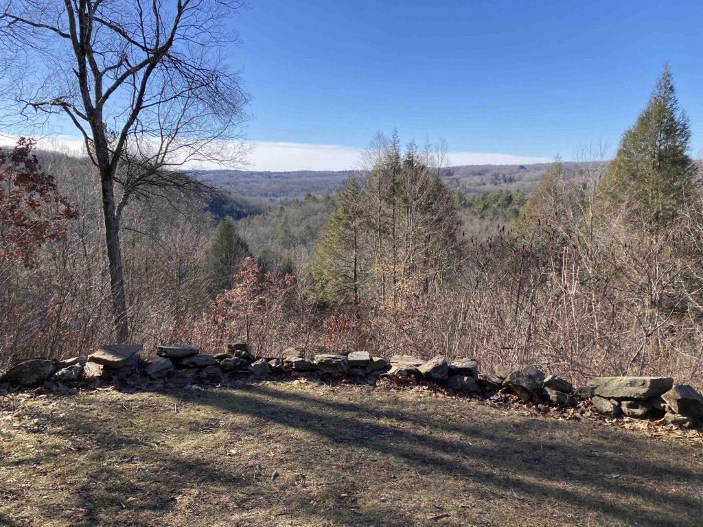
Then head back to way you came connecting down to the yellow circle trail again winding your way to a second lookout. This one is less spectacular but provides a slightly lower view. This yellow dot Van Sinderen Trail is named for the family that donated the property and will lead you next to the Quartz Mine. The mine is another sight to behold with quartz pieces littering the sides of this gully like fallen snow. There is a large cliff face and overhang with a wall of quartz and off to the left a small cave.
Crawling through the narrow gap enters a chamber with more veins of quartz that was filled with dripping water and ice on my last visit in January 2023. A very narrow gap in the floor provides an opportunity for further exploration below but I didn’t indulge this time. From here you can follow the path downhill that was undoubtably built up from the mine down to the river which you can follow back to the soldiers memorial and bridge crossing over to the river to the White Square Baldwin Knoll Trail.
The last leg you can pick to follow the river or over the knoll back to cross the Thoreau Bridge and return to the parking area.
In the area: Grab lunch or dinner at the rustic GW Tavern, stop to peruse the bookshelves at the Hickory Stick, or pop over to Kent Falls Brewing for a pint.
History:
Preserved since 1963 when it was donated to the Steep Rock Association by the Van Sinderen family.
Links:
- Peter Marteka – Crossing A River Over The Henry David Thoreau Footbridge (2017)
- Peter Marteka – Washington’s Hidden Valley Preserve Is Home To King Of Trail Footbridges (2015)
- CTMQ – SRA: Hidden Valley Preserve (2013)
The information shown here is for general reference purposes only. exploreCT.org gives no warranty, expressed or implied, as to the accuracy or reliability of this data. Parking in all areas, whether designated here or not, is at your own risk. exploreCT.org is not responsible for any damage or loss to vehicles or contents.
Last updated January 8th, 2023
Visited 2519 times, 3 Visits today