Hammonasset Beach State Park

Connecticut State Park

919 acres in Madison, CT

Parking: Large lots near 1288 Boston Post Rd, Madison, CT

Trail Map        Trails: Less than a mile       Rating: ★★★★★


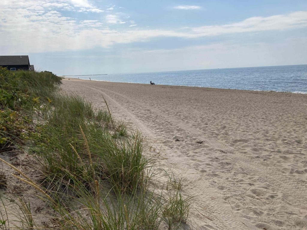
Hammonasset Beach State Park is one of the crown jewels of the Connecticut park system.  An immediate success even back to the 1920s with hundred of thousands of visitors in its first years, it is one of the most recognizable parks across the state.  There are hundreds of campsites and cabins, two miles of sandy beach, educational center, picnic pavilion, and easy walking paths.

Hiking

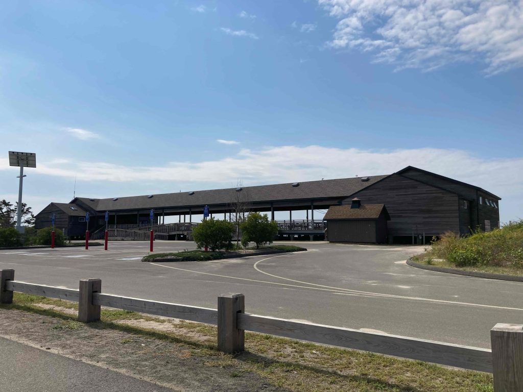
There isn’t much in the way of hiking trails here but there is a boardwalk along the beach and short spurs to different viewpoints off the main road.  Walking past the Meig’s Point Nature Center there is the Menunkatuck Audubon Society Wildlife Viewing Shelter and old service roads out to Willard’s Island.

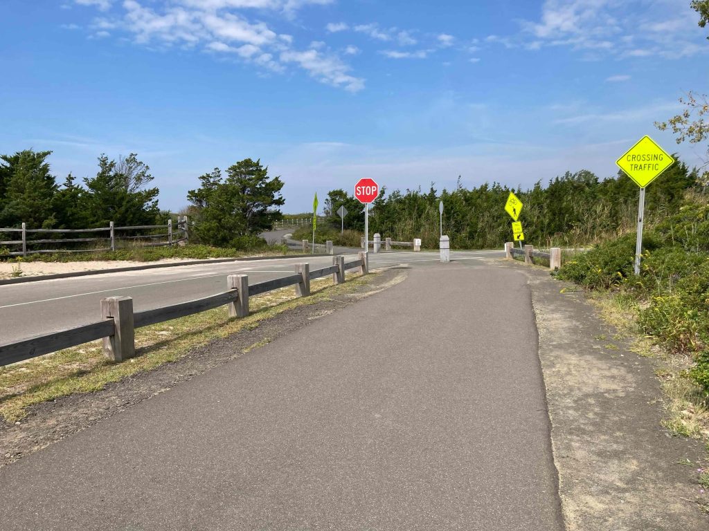
There is also a paved pedestrian/biking path from the entrance of the park to the beach following its length for at least a mile for easy walking or cycling.

Camping

Camping Map.   Reservations can be made on Reserve America open usually from late May to early October.

Known as the William F. Miller Campground there are 558 mostly open grassy sites.  Several sites have electric & water hook-ups and there are a few rustic cabins available for rent (cabins are normally a 7 night minimum).

Amenities include concessions, dumping station, bathrooms, and showers. Individual fireplaces not provided and NO pets.

For current campsite pricing and open season dates see the official DEEP camping page.

Swimming

There are two miles of beach here split into West, Middle, and East beaches with parking lots for each. The park gets great reviews for clean sandy beaches and beautiful water.

Check current water status here.

History:

Prior to becoming a park, the property was a range testing ground for new weapons by the Winchester Repeating Arms Company.

The state purchased the property and established it as a state park on July 18th, 1920.

The federal government took control of the park in Fall 1942 to use the area for an Army reserve station and airplane target practice range.  In 1947, the Army and State furnished enough money to repair and replace roads, buildings, camp, and picnic grounds to about the condition they were in 1942.

“Hammonasset” means “where we dig holes in the ground” and refers to the place where a settlement of eastern Native Americans farmed along the Hammonasset River


Links:

The information shown here is for general reference purposes only. exploreCT.org gives no warranty, expressed or implied, as to the accuracy or reliability of this data. Parking in all areas, whether designated here or not, is at your own risk. exploreCT.org is not responsible for any damage or loss to vehicles or contents.
Last updated September 19th, 2022

Visited 13686 times, 5 Visits today

Related Listings

Machimoodus State Park

★★☆☆☆

41.500551, -72.479695

Machimoodus State Park Connecticut State Park 300 acres in East Haddam, CT Parking: Medium lot at 128 Leesville Rd, Moodus, CT Trail Map         Trails: 4…

Spruce Brook Falls

★★★★★

41.461044, -73.075243

Naugatuck State Forest – West Block Connecticut State Forest 2000 acres in Beacon Falls, Naugatuck, and Oxford, CT Parking: Medium sized dirt lot at the end of…

Tankerhoosen WMA

★★☆☆☆

41.841233, -72.445106

Tankerhoosen Wildlife Management Area Connecticut WMA 449 acres in Vernon, CT Parking: From the north at Walker’s Reservoir near 129 Reservoir Rd, Vernon, CT From the south… Read more…