Erisman Woodlands / Babcock Ridge

Avalonia Land Conservancy

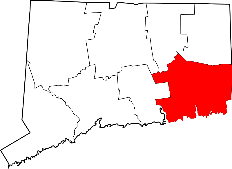
136.48 acres in North Stonington, CT

Parking: 

Trail Map           Trails: 1.3 miles      Trail Difficulty: Moderate to Difficult      Rating: ★★☆☆☆


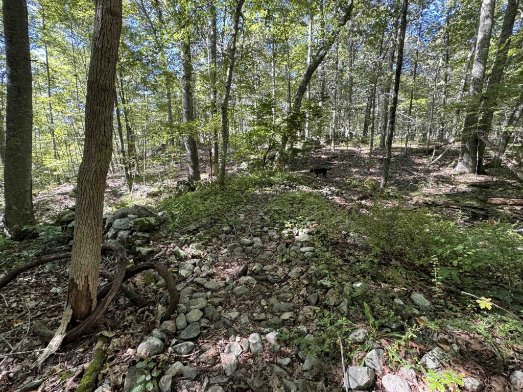
I started my hike of these two properties from the north end on Reutemann Road heading downhill through the Erisman Woodlands. The trail appears to have been freshly ‘meandered’ meaning what used to be a straight shot downhill has been curved this way and that, likely for long term trail sustainability and water management.

At the bottom of the hill you cross a bridge over a small stream and the trail immediately forks into a loop.  I took the right fork again heading uphill following the shape of the stream. The trail turns at a stone wall and again is freshly meandered from the straight line of the wall to cleared paths in the understory.  For the next quarter mile the trail is mostly flat through an open forest. You can tell you’re getting close to Babcock Ridge when the understory comes to life again.

Here the trail forks again into a second loop I took the right fork to follow the line of the ridge and eventually take a fairly steep descent to the bottom of the ridge.  A yellow crossing trail along the base of the ridge let’s you view its length and provides an alternate loop option.  I continued out to Babcock Road to access the adjacent Shunock Brook Preserve, the two can be easily combined for over five miles of hiking.

Back in the Babcock Ridge I completed the loop, reclimbing the ridge line, popping over another stonewall, and working my way back to the Erisman parking area.

History:

The Avalonia Land Conservancy acquired the Babcock Ridge property in June 2014. The Eriman Woodlands was donated by the trust by Adele Erisman (1909-2014) in December 2011.  Adele had been a founding director of the Avalonia Land Conservancy in 1968 originally known as The Mashantucket Land Trust.


Links:

The information shown here is for general reference purposes only. exploreCT.org gives no warranty, expressed or implied, as to the accuracy or reliability of this data. Parking in all areas, whether designated here or not, is at your own risk. exploreCT.org is not responsible for any damage or loss to vehicles or contents.

Visited 715 times, 1 Visits today

Related Listings

Antonino Preserve

Unexplored

98-92 Antonino Rd, Groton, CT, USA

Leo Antonino Preserve Avalonia Land Conservancy 41.5 acres in Groton, CT Parking: Cul-de-sac near 98-92 Antonino Rd, Groton, CT Trail Map         Trails: 1.3 miles …

Coney Rock

★★★☆☆

41.794751, -72.202390

Coney Rock Preserve Joshua’s Trust Property and Town of Mansfield Park Location: 134 acres in Mansfield, CT Parking: Small pull-off near 501 Chaffeeville Rd Storrs, CT Shoulder… Read more…

Gellert/Valentine Preserve

★★☆☆☆

3 Ayers Rd, Pomfret Center, CT, USA

Gellert/Valentine Preserve Wyndham Land Trust 168 acres in Pomfret, CT Parking: Small lot near 3 Ayers Rd, Pomfret Center, CT Trail Map          Trails:…