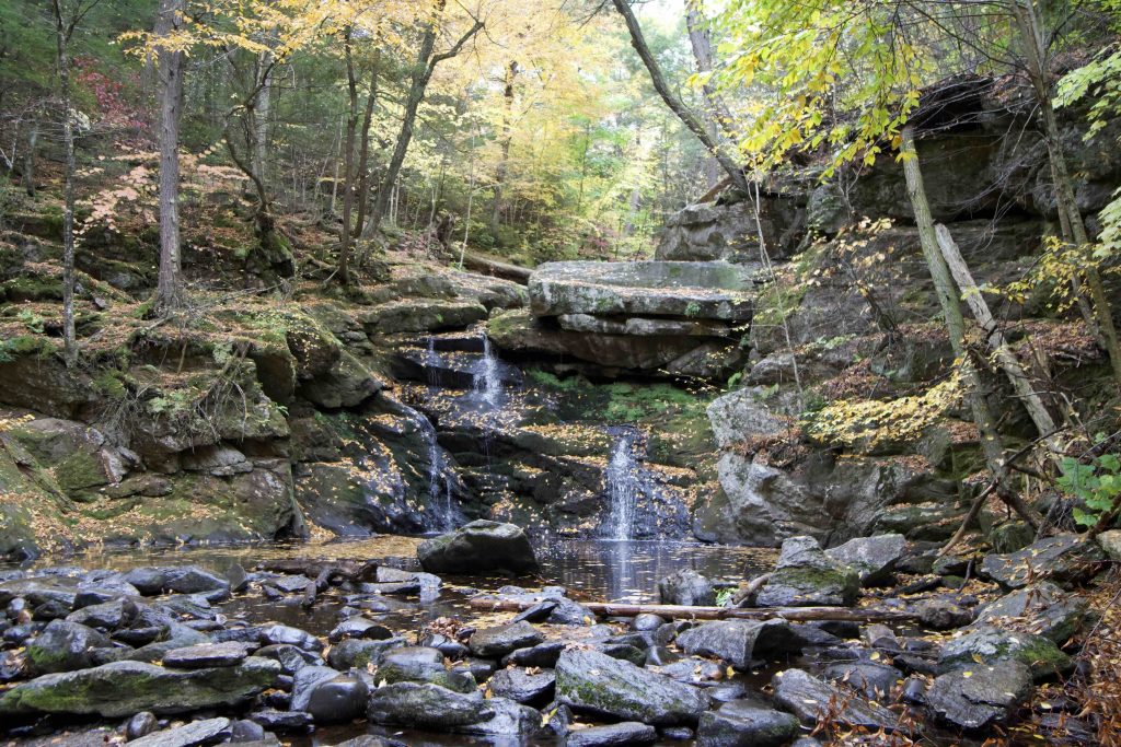
Enders Falls

Connecticut State Forest

2,103 acres in Granby and Barkhamsted, CT

Parking: Large lot near 173-117 Barkhamsted Rd, West Granby, CT

Trail Map       Trails: Less than a mile      Rating: ★★★★★


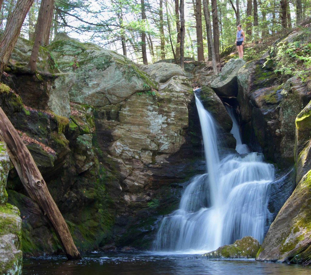
Enders Falls is one of the best waterfalls in Connecticut and is a very popular spot for easy strolls, swimming, and cliff jumping.

Hiking

There are a number of trails off from the parking lot heading down towards Enders Brook.  They all converge on the new graded gravel path. Heading upstream leads to a short spur which heads off along a flat section of Enders Brook.

Purple Blaze – 0.5 miles

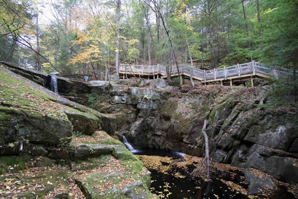
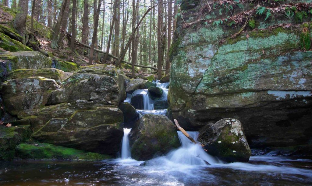
  • Following the gravel path downstream soon leads to the newly improved steps.  An easy path with a mix of stone steps and wood rail fencing travels the steep sides of the ravine that comprises the series of falls. The trail is well constructed, providing a safe and easy way to view a couple of the falls and just enough access for those who are more adventurous and want to see all the falls.
  • A small viewing platform provides a good view of the 2nd waterfall and cliff area though you’ll have to through the fence now to see the first waterfall.
  • A long stretch of stone steps loops back to the gravel path and the parking area for a total distance of about a half mile.

Enders State Forest

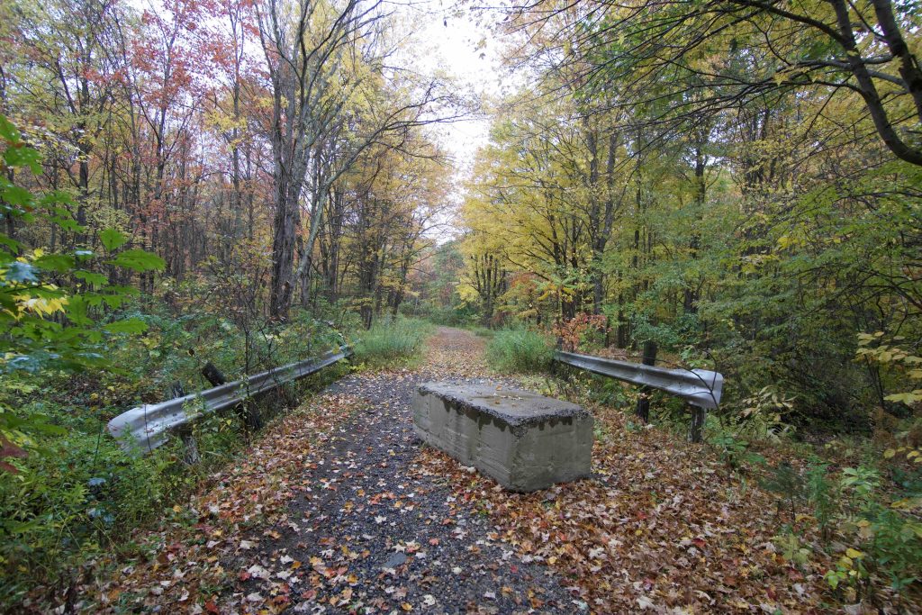
At 2,103 acres Enders State Forest is massive and the main falls area is only a small fraction.  I haven’t found any trail maps for the area so I did some exploring after visiting the falls.  Enders Road was open to cars in 2016, but now has barriers at Rt. 219 so I parked and hiked about a half mile in.  The road is slowly being reclaimed by nature and was lined with gorgeous fall foliage as I crossed an old wooden bridge.  Unfortunately it had started to rain on my visit so I didn’t get to explore as much as I would have liked.

I also drove over to Fox Rd, which is the access point for the newest parcel added to the forest.  There was a small lot before a gate.  Since it was raining I didn’t even bother getting out of the car here.  This is also the one area of the forest that allows archery deer hunting so I can’t quite recommend it as a hiking start.

History:

Enders Forest was established in 1970 with a 1,500-acre donation by the children of John and Harriet Enders. A further donation was made in 1981 and the state purchased additional property in 2002.

The park was closed from early 2019 to September 2020 to revamp the trails, install viewing platforms, and increase safety features for accessibility.


Links:

New England Waterfalls – Enders Falls
CTMQ – Enders Falls

The information shown here is for general reference purposes only. exploreCT.org gives no warranty, expressed or implied, as to the accuracy or reliability of this data. Parking in all areas, whether designated here or not, is at your own risk. exploreCT.org is not responsible for any damage or loss to vehicles or contents.
Last updated: October 2020

Video

Visited 16398 times, 4 Visits today

Related Listings

Mohawk Mountain

Unexplored

1 Toomey Rd, West Cornwall, CT, USA

Mohawk Mountain State Park and Forest Connecticut State Park / State Forest 4,016 acres in Cornwall, Goshen, and Litchfield, CT State Park – 273 acres State Forest – 3,743 acres Parking: Main… Read more…

Black Pond Boat Launch

★★☆☆☆

215 Camp Road, Woodstock, Woodstock Valley, CT, USA

Black Pond Boat Launch Connecticut State Boat Launch 41 acres in Woodstock, CT Parking: Small lot down a driveway off Camp Road Trail Map     Trails: No…

Platt Hill

Unexplored

41.900132, -73.110344

Platt Hill State Park Connecticut State Park 159 acres in Winchester, CT Parking: Down the road near 137 Chapel Rd Winsted, CT Trail Map This is a…