Devil’s Hopyard State Park

Connecticut State Park

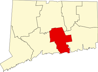
1000 acres in East Haddam, CT

Parking: Medium sized lot at 8 Foxtown Rd, East Haddam, CT.  There are also a number of other small lots and pull-offs to access different trail sections.

Trail Map          Trails: 8.5 miles    Trail Difficulty: Easy to Difficult      Rating: ★★★★☆


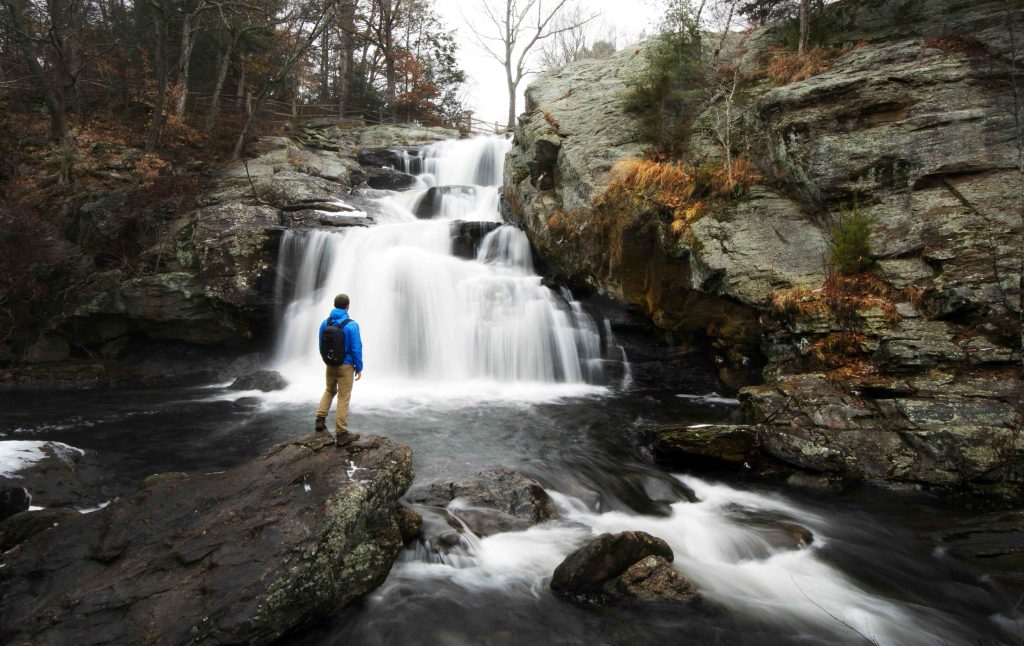
The heart of Devil’s Hopyard is the 60ft Chapman Falls located just below the meeting of Hopyard and Foxtown Rds.  There are parking areas a short distance on either side of the falls for an easy walk to a natural rock viewing platform.  The falls tend to rush year round but as New England Waterfalls notes, “During extremely dry weather, the falls may lose its block formation and become weak-flowing horsetails.”  People often swim in the small area at the base of the falls.

Hiking

Orange Vista Loop – 1.53 miles

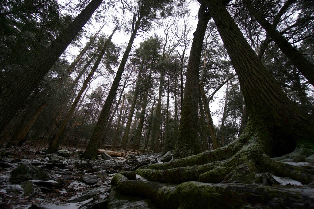
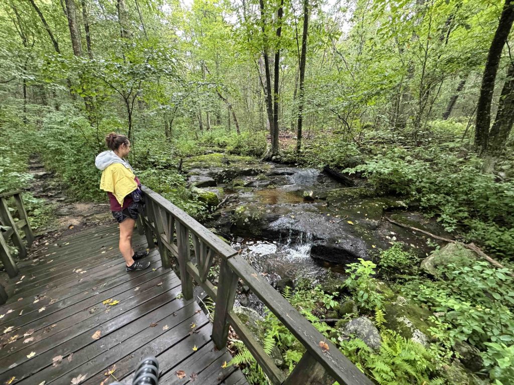
  • The most popular hiking loop is the Orange Vista loop that starts at the covered bridge downstream from the falls.  At about a quarter mile the trail splits, though it isn’t the most obvious fork.  Heading left continues uphill for quite a while in remarkably open forest.  This section of the forest sustained a fire in March 2012 which burned an area of about 130 acres.  You will likely notice a few scorched trees, though most of what burned was leaves and fallen timber along the ground. 
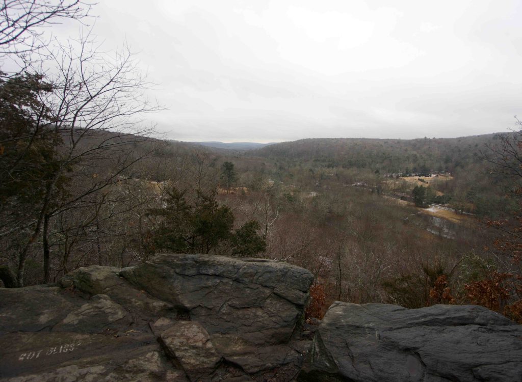
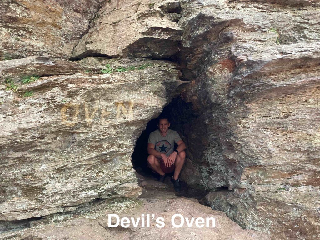
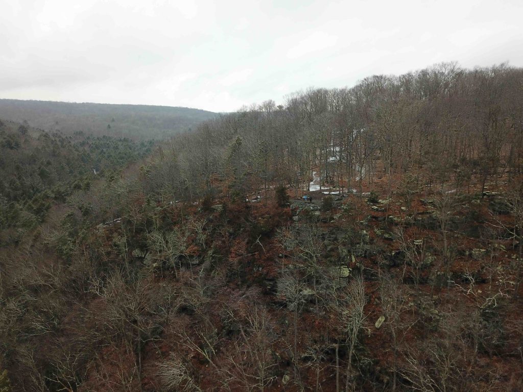
  • At almost a mile the trail descends shortly to the Vista Cliff Overlook.  The view south surveys the forested hills towards Lyme and the DEEP notes the characteristic U-shape of a glacially modified valley.  The return trail descends among the rocks in the sharper contours near Eightmile River amidst pines and mossy boulders.  There is a short side trail up a steep hill to Devil’s Oven.  The small “cave” is a three foot wide fracture in the sulfidic schist and gneiss that narrows to a small about 10 feet into the rock.

Red Millington Loop

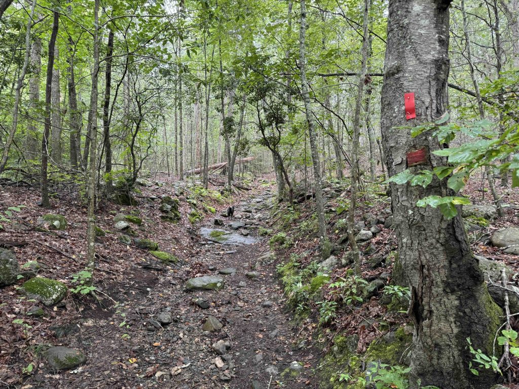
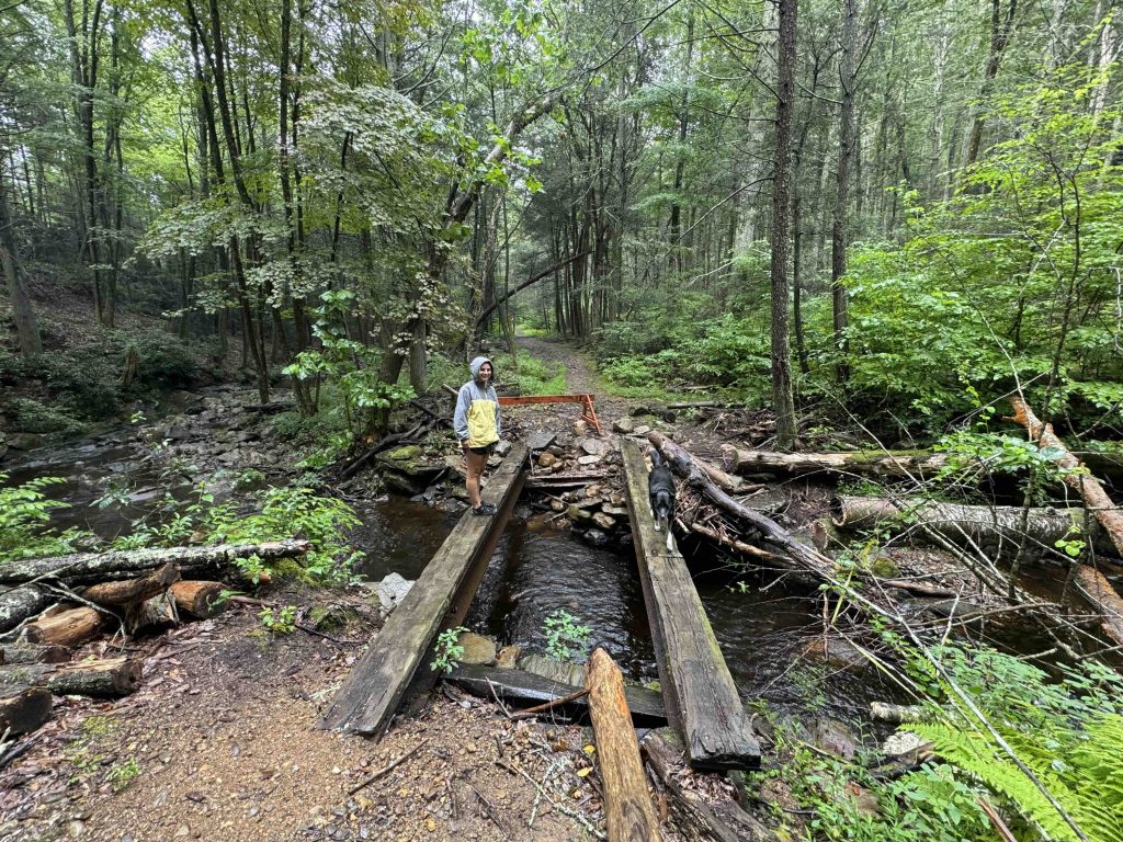
  • This trail starts near the falls and crosses Hopyard Road for a much quieter hiking experience in this popular park. The trail climbs along an old forest road and has a couple offshoot loops for some variety. At the park’s edge the trail takes a hard left to descend towards Muddy Brook. This section has a few wet stretches and a couple bridges over feeder streams until reaching a broken bridge over the actual Muddy Brook. You then recross Hopyard Road and return to reach the bottom of the falls parking area.

Yellow Witch Hazel Trail

  • Unexplored

On previous visits, I’ve also explored the unexplored paths around the camping area and the white trails closer to Foxtown Rd.  At the time they were sparsely marked and navigating them was unsuccessful. 

Fishing

Fishing is allowed on this section of the Eightmile River and is mainly trout. From Foxtown Road to the dam at Mt. Archer Road the trout must be a 9″ minimum length.

History:

Established as a park in 1919, it is the site of a 1700s mill.  There are two main stories for the name of the park.  First, in the superstitious colonial times the symmetrical potholes around the falls were thought to have been the devil’s footprints.  He had gotten his tail wet while walking along the river and angrily clambered up the falls.  The second states that a farmer in the named Deebe grew hops.  Over time Deebe’s Hopyard morphed into Devil’s Hopyard.

Peter Marteka shared the scientific theory behind the potholes from Norman Gray,

a University of Connecticut professor of geology and geophysics, came up with a scientific theory of how the potholes were formed in the gray schist of the falls. It was mere grains of sand caught in forever swirling water eddies. Gray believed that the water currents could be compared to the air currents within a tornado.

The red Millington Trail is named for the Millington village an ecclesiastical society first settled in 1704 (then part of Haddam) by Jonathan Beebe of New London. The village trained soldiers for the Revolutionary War, fell into a depression after the War of 1812, and was later absorbed into East Haddam.


Links:

The information shown here is for general reference purposes only. exploreCT.org gives no warranty, expressed or implied, as to the accuracy or reliability of this data. Parking in all areas, whether designated here or not, is at your own risk. exploreCT.org is not responsible for any damage or loss to vehicles or contents.
Last updated August 18th, 2024

Visited 9133 times, 2 Visits today

Related Listings

Billings Lake

Unexplored

41.508947, -71.874691

Billings Lake Connecticut State Forest and Water Access 40 acres in North Stonington, CT Parking: Small lot near 100 Billings Lake Road, North Stonington, CT Trail Map …

Horse Guard State Park

★★★☆☆

245 W Avon Rd, Avon, CT

Horse Guard State Park Connecticut State Park / Scenic Reserve 105 acres in Avon, CT Parking: Small lot near 245 W Avon Rd, Avon, CT Trail Map …

Wooster Mountain State Park

Unexplored

41.351877, -73.474826

Wooster Mountain State Park Connecticut State Park 444 acres in Danbury, CT Parking: Small lot near 74 Sugar Hollow Rd, Danbury, CT Trail Map       Trails:…