Dennis Farm Preserve

The Nature Conservancy

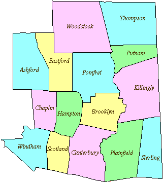
380 acres in Pomfret, CT

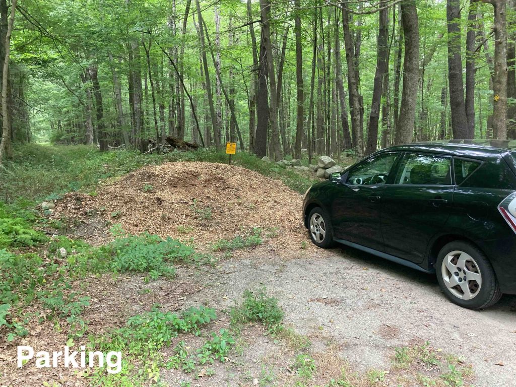
Parking: Small pull of near 21 Dennis Rd, Pomfret Center, CT

Trail Map      Trails: 2 miles   Rating: ★★☆☆☆


The first thing to note is that this is NOT a loop hike. On the map above the Dennis Farm Preserve trail is 2 miles colored in yellow and connects to the 4H Camp trails colored green.  I was unwilling to hike back around and so just tromped through the woods on what’s left colored red.  I wouldn’t advise doing the same. I knew which direction to head and could confirm I hadn’t missed the trail thanks to tracking the hike.

Hiking

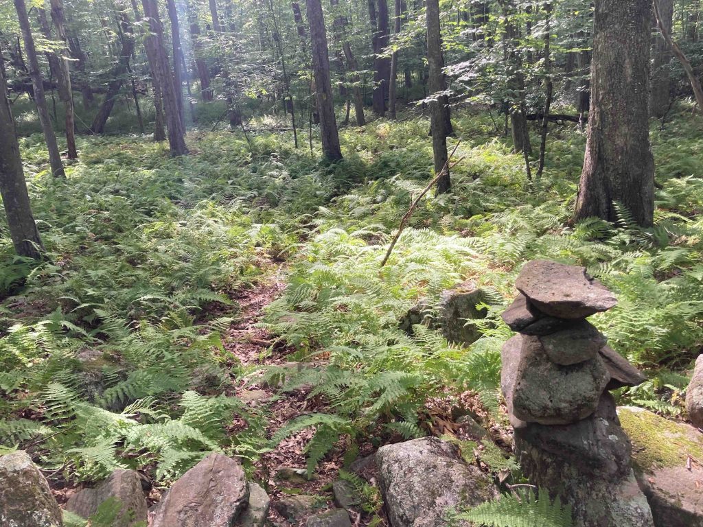
From the pile of wood chips that serves as both the parking and the trailhead the trail heads off among the ferns down an old stretch of Old Kings Highway.  The old road is lined by stonewalls that have filled in with lots of low growth.

The trail soon takes a hard left through the stonewall and begins to meander through a forest of tall trees and low understory.  Yellow blazes are occasional but the path was pretty straightforward to follow for the first mile.  After a mile the occasional blazes cease and only a directional arrow at the biggest points of confusion.  I was only sure I was on the trail about 70% of the time in this second mile since the trail is so seldom used.  Long stretches where I only hoped I was heading in the right direction until finally coming upon another arrow.

The trails do eventually connect to the backside of the adjacent 4H camp.  They become quite clear and well traveled looping from the pond up into the woods and back to the cabins/buildings. As I said in the intro the Dennis Farm trail is an out and back, but I was unwilling to hike back the way I came and knew I was close to a section of trail.  I cut through the woods and while my bearings were slightly off I pretty easily found the trail after skirting around a thicket of mountain laurel and returned to the parking area.

History:

Colonel Edward B. Dennis donated this farmland to the Conservancy in 1973.


Links:

The information shown here is for general reference purposes only. exploreCT.org gives no warranty, expressed or implied, as to the accuracy or reliability of this data. Parking in all areas, whether designated here or not, is at your own risk. exploreCT.org is not responsible for any damage or loss to vehicles or contents.
Last updated August 16th, 2022

Visited 1566 times, 3 Visits today

Related Listings

Ledge Light

★★☆☆☆

New London Ledge Lighthouse, Maritime Society, Bank St, New London, CT, USA

Ledge Lighthouse Lighthouse in New London and Groton, CT Parking: Accessed from water only, nearest boat launch near 52-98 Bayberry Ln, Groton, CT Trail Map     …

Dewey-Granby Oak

★★☆☆☆

82 Day Street, Granby, CT, USA

Dewey-Granby Oak Granby Land Trust 1.5 acres in Granby, CT Parking: Shoulder parking near 82 Day St, Granby, CT Trail Map      Trails: No trails     …

Bailey’s Ravine

★★★☆☆

41.633853, -72.137734

Bailey’s Ravine at Ayers Gap Preserve The Nature Conservancy Property managed by the Town of Franklin 80 acres in Franklin, CT Parking: Small pull off at 291 Pond… Read more…