Narragansett Trail: Cossaduck Bluffs / Gladys Foster Preserve

CFPA Blue Blaze Trail / The Nature Conservancy / Connecticut State Forest

755 acres in North Stonington, CT

Parking: Shoulder parking near 199-155 Ryder Rd, North Stonington, CT

Trail Map                Trails: 3.3 miles          Rating: ★★★☆☆


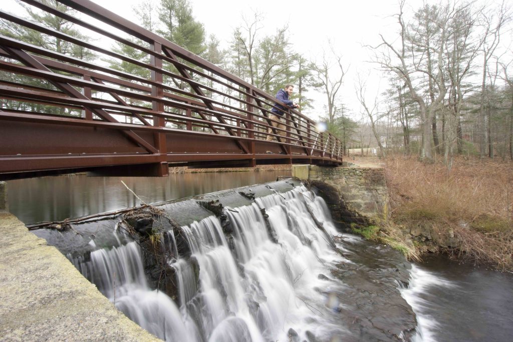
A light snow was falling as I continued my hike of the Narragansett Trail.  The previous section between Lantern Hill and here is “temporarily” closed (since 2015) but I crossed Rt. 2 to check out the Hewitt’s Pond (also known as Gallup Pond) Pedestrian Bridge.  It was built in 2007 and now sits waiting for the trail to reopen so that hikers can pass over it once again.

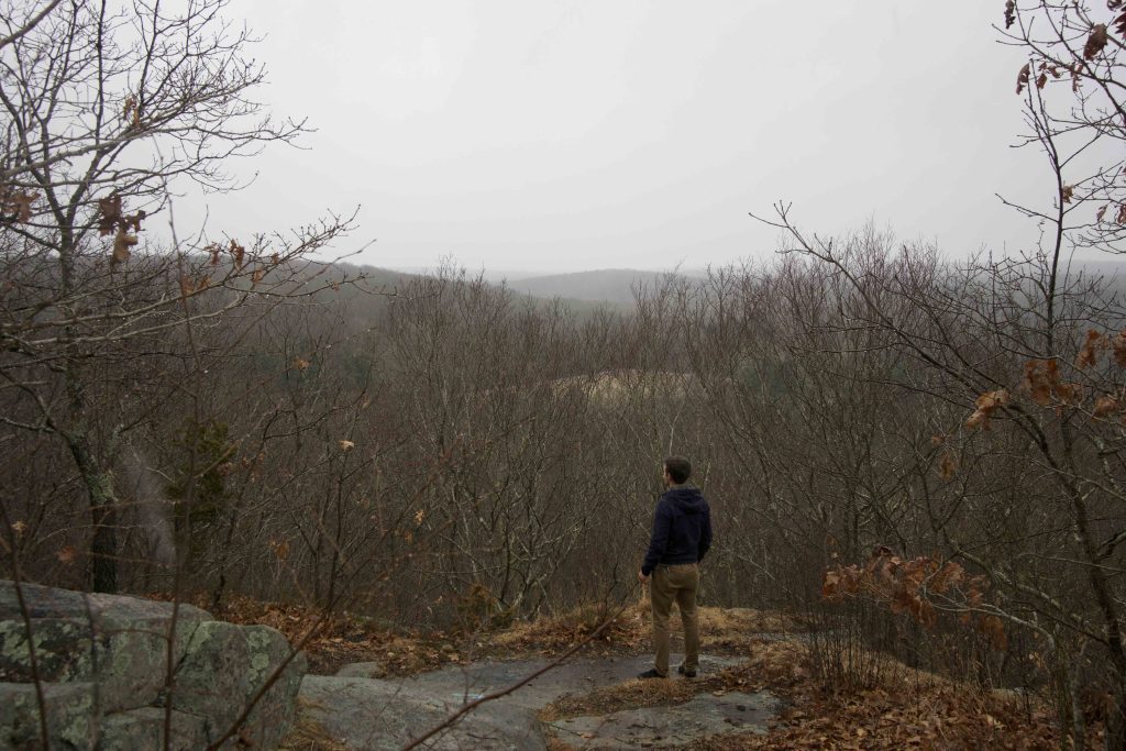
Currently the trail restarts in the Gladys Foster Preserve one of The Nature Conservancy’s properties, though as I often find with them, they offer no information or even acknowledge that they own it.  From Ryder Rd the trail heads uphill to rocky outcrops and the bluffs along Cossaduck Hill.

The trail follows the ledges entering a parcel of the Pachaug State Forest to an overlook of the Yawbucks Valley.  The overlook has views south that are nice, but nothing astounding.  You soon skirt private property as you leave the bluffs and head downhill to meet the Yawbucs Brook.

Following the route of the brook through tall pines and then using large rocks to hop it brings you to an old damed section creating an unnamed pond.  You’ll criss cross the brook a couple more times until reaching a flooded section thanks to recent beaver activity.  Heading off to the right there is a narrow stretch with plenty of rocks to cross and rejoin the trail.

From here it is a simple gradual uphill until reaching the Wyassup Lake parking.  If you continue just over a half mile further into the Legend Wood section there is a lean-to and a nice overlook.  Hiking out to the overlook and back will be about 8 miles round trip.

Previous Section: Closed section (since 2015) over Winetechog Hill

Next Section: Legend Wood

History:

Cossaduck Hill is likely named from the Mohegan or Niantic expression ‘kowas-‘htugk’ for “pine-wood” or “pine trees” (Hughes and Allen pp. 409, 738).


Links:

The Story of the Yawgoog Trails – Connecticut Countryside I (2013)

The information shown here is for general reference purposes only. exploreCT.org gives no warranty, expressed or implied, as to the accuracy or reliability of this data. Parking in all areas, whether designated here or not, is at your own risk. exploreCT.org is not responsible for any damage or loss to vehicles or contents.
Last updated March 23rd, 2020

Video

Visited 2569 times, 3 Visits today

Related Listings

Ferry Landing State Park

★★☆☆☆

41.311537, -72.346463

Ferry Landing State Park Connecticut State Park 1 acre in Old Lyme, CT Parking: Small lot near 398 Ferry Rd, Old Lyme, CT Trail Map     …

Mianus River State Park

Unexplored

41.085348, -73.588012

Mianus River Connecticut State Park / Scenic Reserve / Stamford Town Park / Greenwich Town Park 527 acres in Stamford, CT Parking: One lot and two small…

Nipmuck Trail: Marsh Road

★★☆☆☆

41.848349, -72.223530

Nipmuck Trail: Marsh Road Blue Blaze Trail in Willington and Ashford, CT Parking: North end – Shoulder parking near 298 CT-74 Ashford, CT South end – Spur…