Site logo
    • Explore
      • Blue-Blaze Trails
      • Land Trusts
      • State Parks and Forests
      • By Town
    • exploreCT+
      • Membership
      • Shop
      • Events
    • Blog
    • Town Guides
    Sign in or Register
    Listing cover image

    Bush Hill Preserve

    • Trails
      6 miles
    • Rating
      ★★★☆☆
    • Address
      330 Bush Hill Road, Manchester, CT, USA
    • Explore
    • Trail Map
    • Reviews 0
    • New Page
    • prev
    • next
    • Bookmark
    • Share
    • Get directions
    • Report
    • prev
    • next
    At A Glance

    Manchester Land Trust

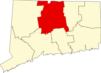
    177.5 acres in Manchester, CT

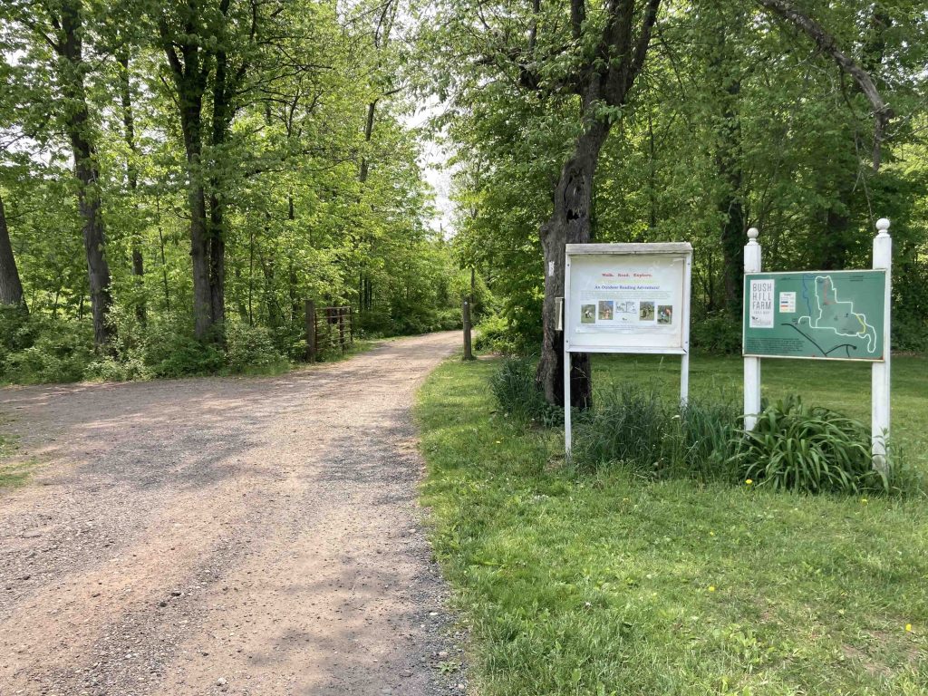
    Parking: Medium sized lot near 330 Bush Hill Road, Manchester, CT

    Trail Map         Trails: 6 miles     Rating: ★★★☆☆

    The Bush Hill Preserve has been growing since its humble beginnings as a donation in 1993.  The property now spans three former farms and offers 4.2 miles of trail and another two miles of connecting farm roads with picturesque scenery, a Story Trail for kids, old ponds, and quiet forest.

    Hiking

    I started my hike from the Cider Mill Barn at the main entrance.  The barn is the former farm store/gift shop and I’m sure at some point cider mill, but today is filled to the brim with a huge variety of tag sale items available for sale to raise funds for the land trust.  I ended up exploring the barn for at least an hour finding treasure after treasure.  The tag sale is run by volunteers and open daily in May though I’m unsure of the hours the rest of the year.

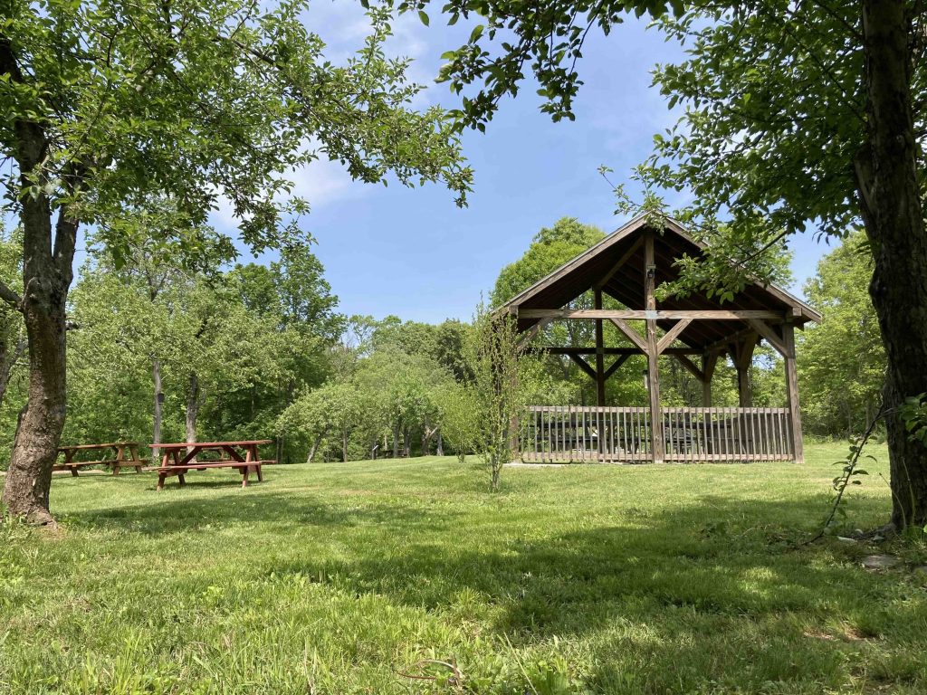
    Back to the hiking, following the road behind the barn leads you past a well maintained field with a picnic pavilion and the start of the Story Book walk.  You could take a left at the corner here to jump on the blue blaze trail or continue down the road to reach the white.  The road passes a good sized goat pen where a sign says you can feed the goats any fresh produce you have brought them but not clippings from anything nearby.

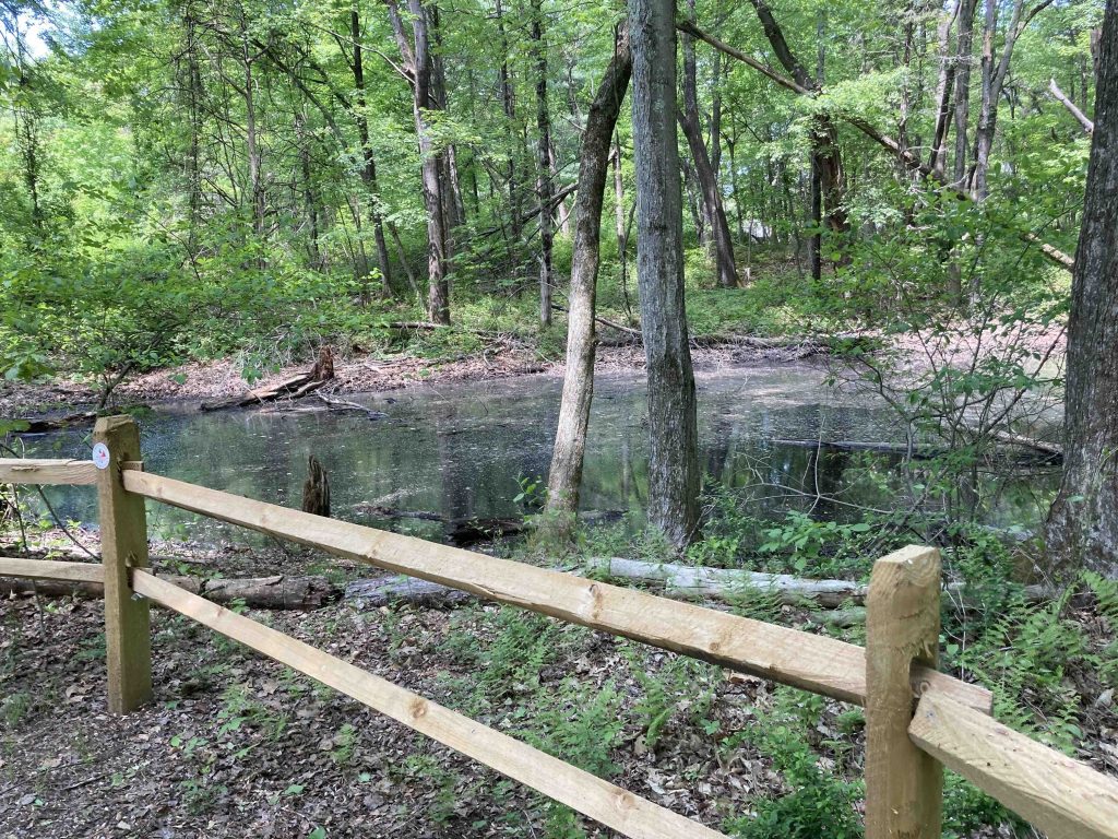
    The white trail soon leaves the gravel roadway and climbs up the 318ft Bush Hill which has its own geodetic survey marker. The white trail then descends down the other side through thick forest and took the optional Lavender side trail to Gretz Pond.  There is a nice bench here and I sat for a bit watching the turtles and frogs sunning themselves.  I tried to follow the trail around the pond, but one side was too flooded to pass without getting wet shoes.

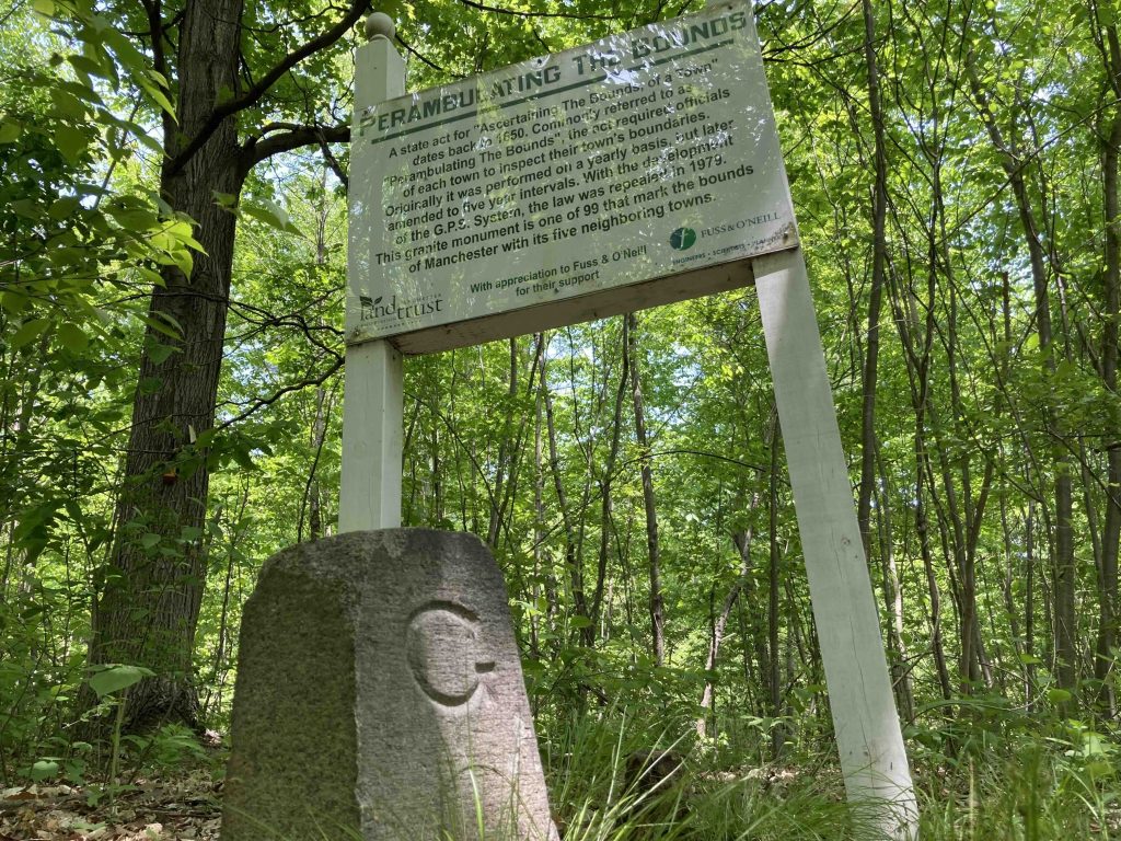
    Working back to the white trail continues to the forest, reenters the main field and the continues mixing woodsy trail and gravel farm roads.  Near the southern border of the property where the orange meets the white trail is a town line marker for Glastonbury/Manchester complete with big explainer signboard.  I hopped on the blue trail which crosses and unnamed stream right at the edge of the Rolling Woods subdivision before working back through thick woods  along the power lines back to the picnic pavilion.

    History

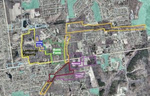
    Formerly the Botti Farm since 1912, the land trust has been preserving this area since 1993.  Here’s a brief history of acquisitions:

    • 1993 donation by the Manning-Ferris family, 13.5 acres
    • 2015 purchase of the Botti family orchards and farm, 62 acres purchased for $915,000
    • 2021 purchase of an entry-point on DeSousa Drive, 0.15 acre
    • 2021 purchase of the former Lombardo farm, 102 acres

    The barn roof was replaced in 2016.

    Links

    CTMQ – MLCT: Bush Hill Farm (2017)

    Peter Marteka – Preserving Manchester Farm Is A Work In Progress (2017)

    Tags
    • ★★★☆☆
    • 2023
    • Explored
    • Manchester
    • Manchester Land Trust
    • Hartford County
    • Peter Marteka
    Last Updated

    The information shown here is for general reference purposes only. exploreCT.org gives no warranty, expressed or implied, as to the accuracy or reliability of this data. Parking in all areas, whether designated here or not, is at your own risk. exploreCT.org is not responsible for any damage or loss to vehicles or contents. Last updated May 15th, 2023

    Trail Map
    Location
    • 330 Bush Hill Road, Manchester, CT, USA

      Get Directions
    Gallery
    Categories
    • Hiking
    Gallery
  • No comments yet.
  • Add a review

    Leave a Reply · Cancel reply

    Your email address will not be published. Required fields are marked *

    Overall Rating

    You May Also Be Interested In

    Spruce Brook Falls

    • ★★★★★
    • 16 miles
    Featured
    FW6F+CW Beacon Falls
    • Quick view
    • Bookmark

    Bartholomew Open Space

    • Unexplored
    • 0.6 miles
    72 Buttonball Rd
    • Quick view
    • Bookmark

    Avery Nature Preserve

    • Unexplored
    • 2.6 miles
    60R Scotch Cap Rd
    • Quick view
    • Bookmark

    Hi, I’m Matt.

    I’m building ExploreCT to be the guide for all your outdoor adventures. All the trails, views, and waterways this great state has to offer.

    Now get out and explore!

    Monthly Newsletter

    Each month I share site updates or an interesting article in my newsletter. It’s short, sweet, and practical.

    600+ explorers read it, I’d love for you to join.

    Thank you!

    You have successfully joined our subscriber list.

    X-twitter Youtube Envelope Instagram

    Cart

      • Facebook
      • X
      • WhatsApp
      • Telegram
      • LinkedIn
      • Tumblr
      • Reddit
      • VKontakte
      • Mail
      • Copy link
      • Share via...
      • Threads
      • Bluesky