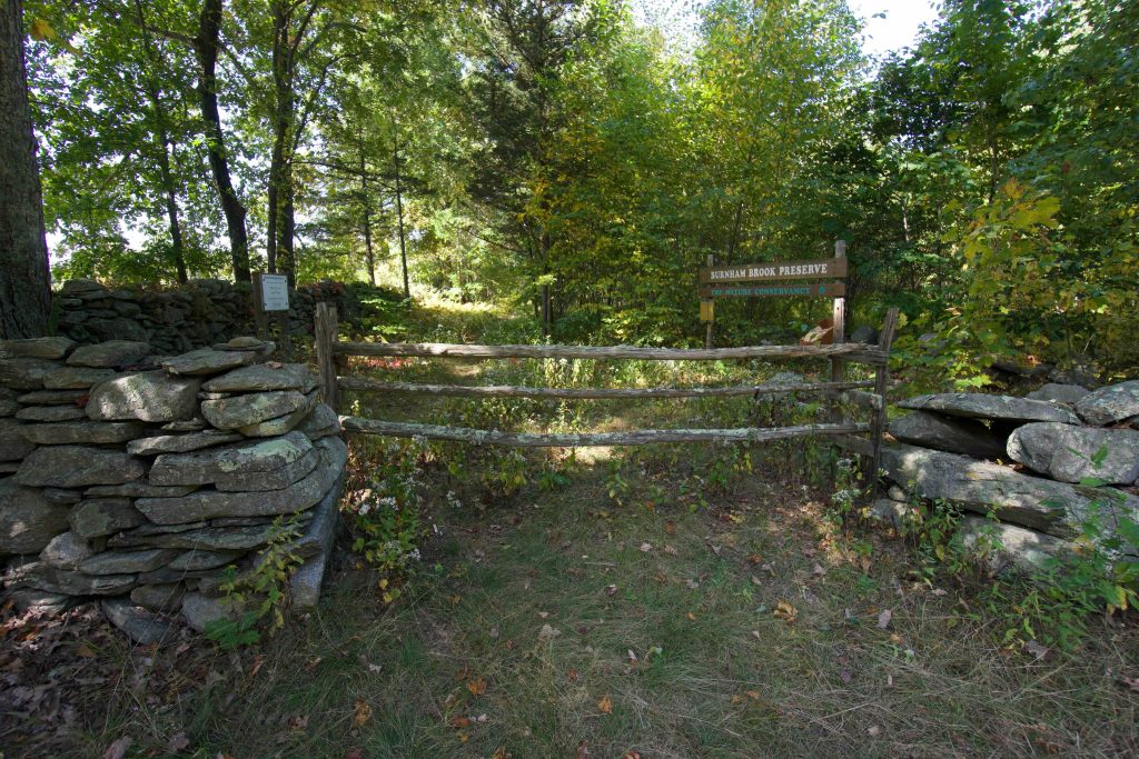
Burnham Brook Preserve

The Nature Conservancy Property

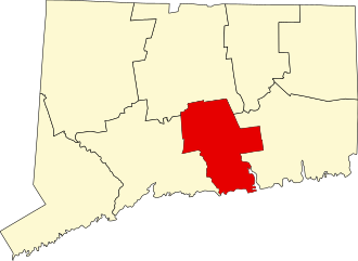
1,122 acres in East Haddam, CT

Parking: Shoulder parking before 2 Dolbia Hill Road, East Haddam, CT

No Official Trail Map         Trails: 2.2 miles           Rating: ★★☆☆☆


At 2.2 miles the Burnham Brook Preserve loop sounds short.  Thankfully interesting terrain and a couple surprises combine to feel both longer and more memorable.  Reviews on AllTrails seem to unanimously agree that the hike is great except that it can be too overgrown to navigate easily.

Hiking this loop you will almost definitely push through knee high blueberry, waist ferns, and even young saplings.  In addition, at the back of the loop (the funny tail at the southwest/bottom-left) the trail obviously heads downhill until you realize there aren’t any blazes.  Instead, from the last visible blaze look up the slope to the left and you’ll see another through some trees.  Now that you are forearmed here’s the rest of the description:

Hiking

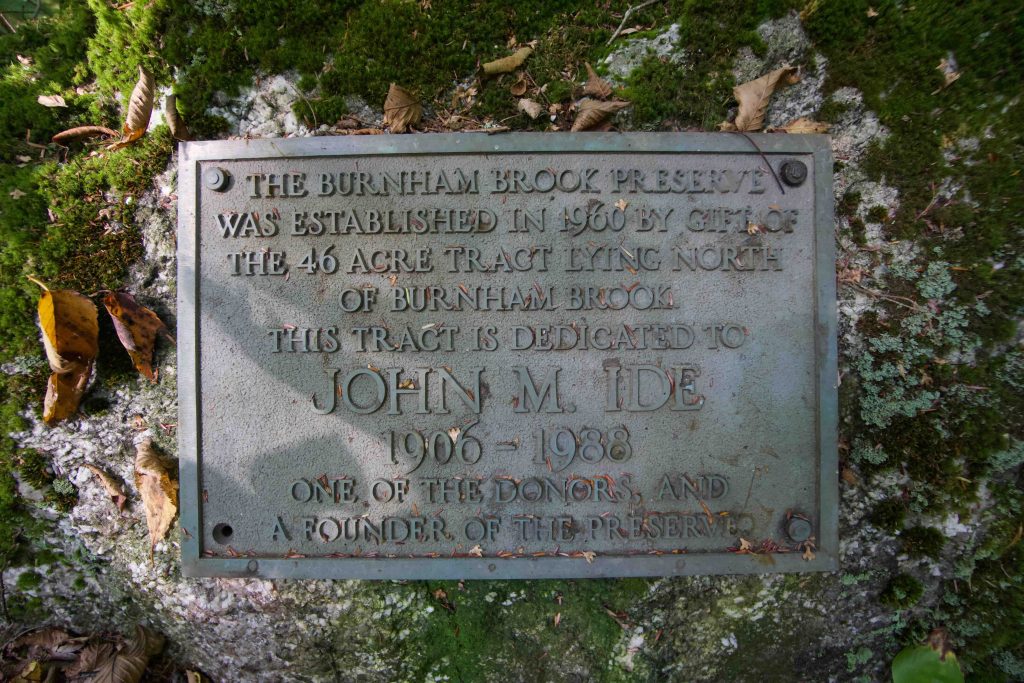
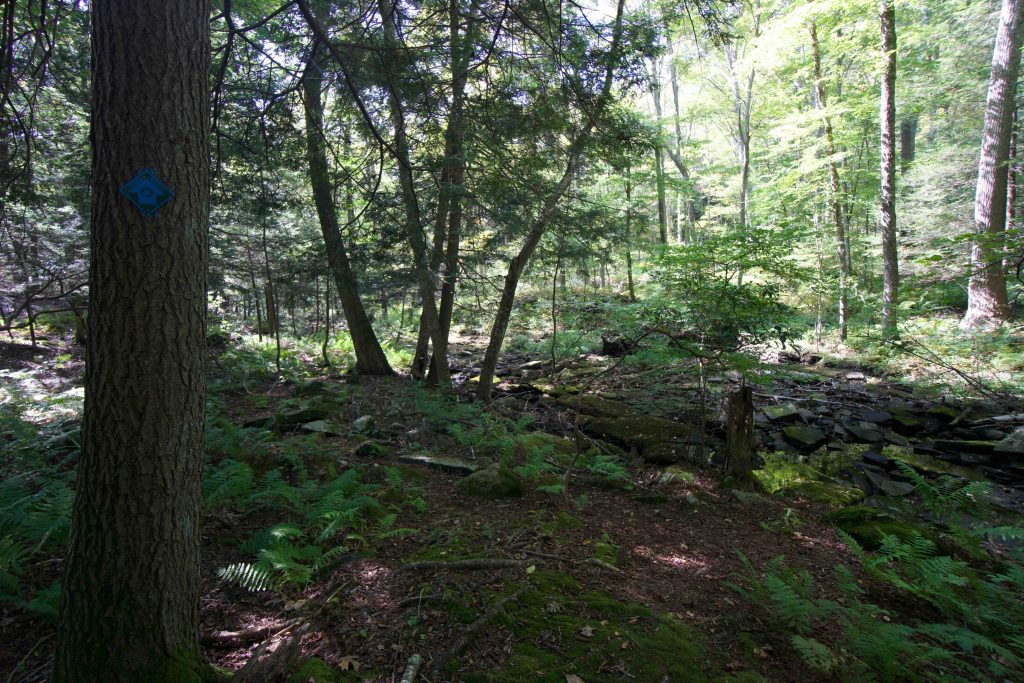
From the trailhead the descends along the stonewall border of the nearby fields.  The trail is easy to follow even if a bit narrow and the blue blazes have been recently updated with plastic arrow markers.  At about a half mile you reach Burnham Brook, a true babbling brook with mossy rocks and shadowed pines. Past this point the trail is overgrown as soon as you start heading uphill away from the brook.  You pass a plaque for founder John Ide who gifted the original 46 acres that started this preserve.

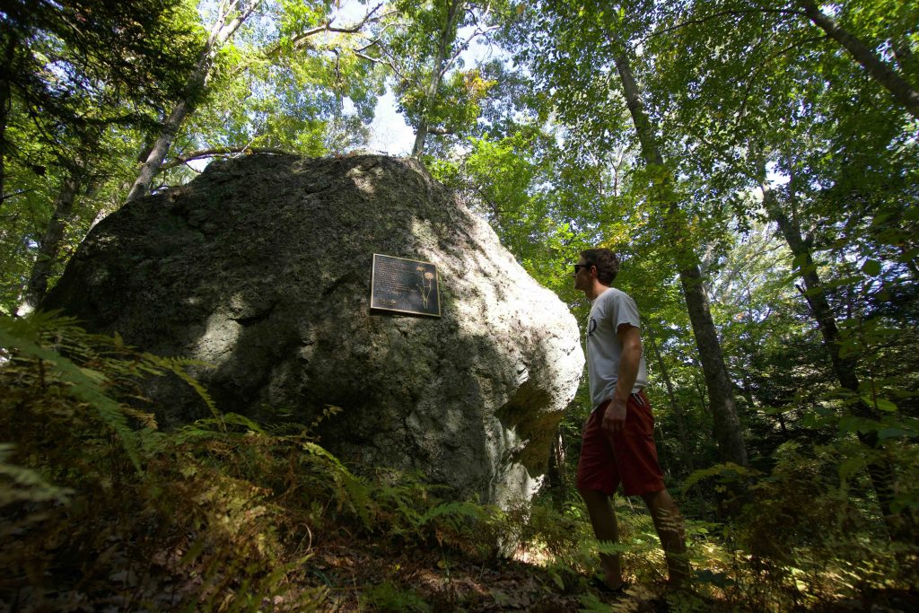
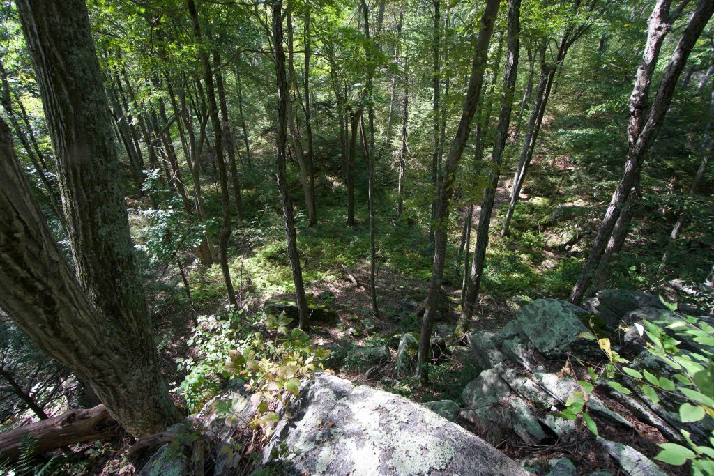
One of my favorite parts of this hike was a forested glen so filled with picturesque ferns that I half expected to come across a cozy cottage with smoke coming from its chimney.  Alas, no such scene awaited me and I continued on to the overlook at the back of the loop.  A short rocky scramble takes you to a ridge with a decent view of the forest below you.  Navigating the rocks on the ridge takes you down to the tricky area I described in the first paragraph.  As long as you take the blazed path up the slope you will reach another ridge-line before coming down the other side.  The last surprise of the trail is an enormous glacial erratic with a plaque for the poem Soil by Richard Goodwin.

History:

Established in 1960 with a gift of 46 acres in 1960 the property has grown to 1,122 since then thanks to Richard and Esther Goodwin.


Links:

Peter Marteka – Trusting in the Trail (2010)

The information shown here is for general reference purposes only. exploreCT.org gives no warranty, expressed or implied, as to the accuracy or reliability of this data. Parking in all areas, whether designated here or not, is at your own risk. exploreCT.org is not responsible for any damage or loss to vehicles or contents.
Last updated Sept. 23, 2019

Visited 2840 times, 2 Visits today

Related Listings

Codfish Falls

★★☆☆☆

41.823937, -72.226878

Codfish Falls Mansfield Waterfall Small waterfall in Mansfield, CT Parking: Small pull-off near 99 Codfish Falls Rd Mansfield, CT Trail Map       Trails: Less than a mile …

North South Trail

★☆☆☆☆

41.850808, -71.795226

Rhode Island North-South Trail Rhode Island Thru Hike in Killingly, CT Parking: Park along Pond Rd near Killingly Pond State Park Trail Map      Trails: Less than a mile … Read more…

Roseland Park

★★☆☆☆

205 Roseland Park Rd, Woodstock, CT 06281, USA

Roseland Park Private Park 390 acres in Woodstock, CT Parking: Several lots near 205 Roseland Park Rd, Woodstock, CT Trail Map       Trails: 0.25 miles   …