Belding Wildlife Management Area
Connecticut State WMA
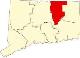
282 acres in Vernon, CT
Parking:
- Lots of shoulder parking near 3 Bread and Milk Rd Vernon, CT
- Shoulder parking near 420 Reservoir Rd, Vernon, CT
- Enter from Valley Falls Park near 300 Valley Falls Rd, Vernon, CT
Trail Guide Trails: 2 miles Rating: ★★☆☆☆
Belding WMA is one of Connecticut’s wildlife management areas and is one of the most educational in the area. The forest was actively managed during summer 2020 to remove non-native species and improve habitat mainly for birds. There is a nice 1.5 mile loop through the property with easy connections to Valley Falls Park, the blue blaze Shenipsit Trail, and the Hop River Trail for longer hike options.
The main entrance along Bread and Milk Street features a large field with a mown loop at the edge. My visits to Belding Wildlife Management Area have mainly been while hiking the Shenipsit Trail. From Valley Falls the trail passes over a hill and through mountain laurel and old pines before crossing Bolton Road. Here there is a rocky cascade amid stone walls before reaching the main loop area.
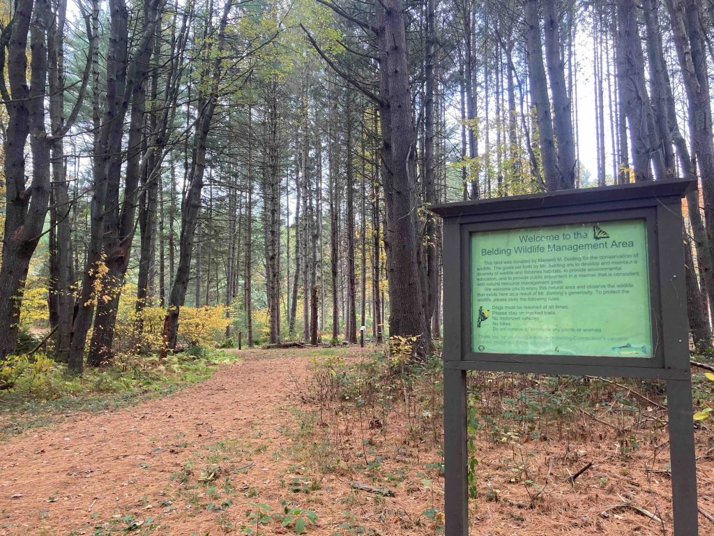
Where the trail forks for the blue Shenipsit or the yellow Belding Path is the start of the active forest management which took place in 2019. A large number of trees have been removed or left where they fell to create habitat. This stretch has a number of informational signs that explain the what and why and I stopped to read several since they provided interesting details.
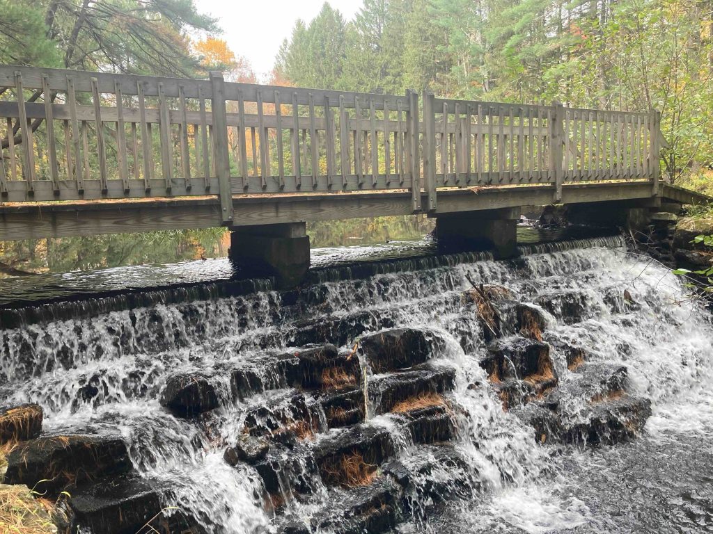
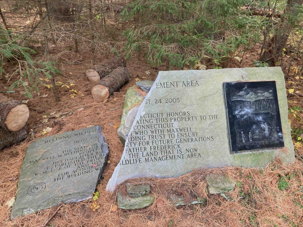
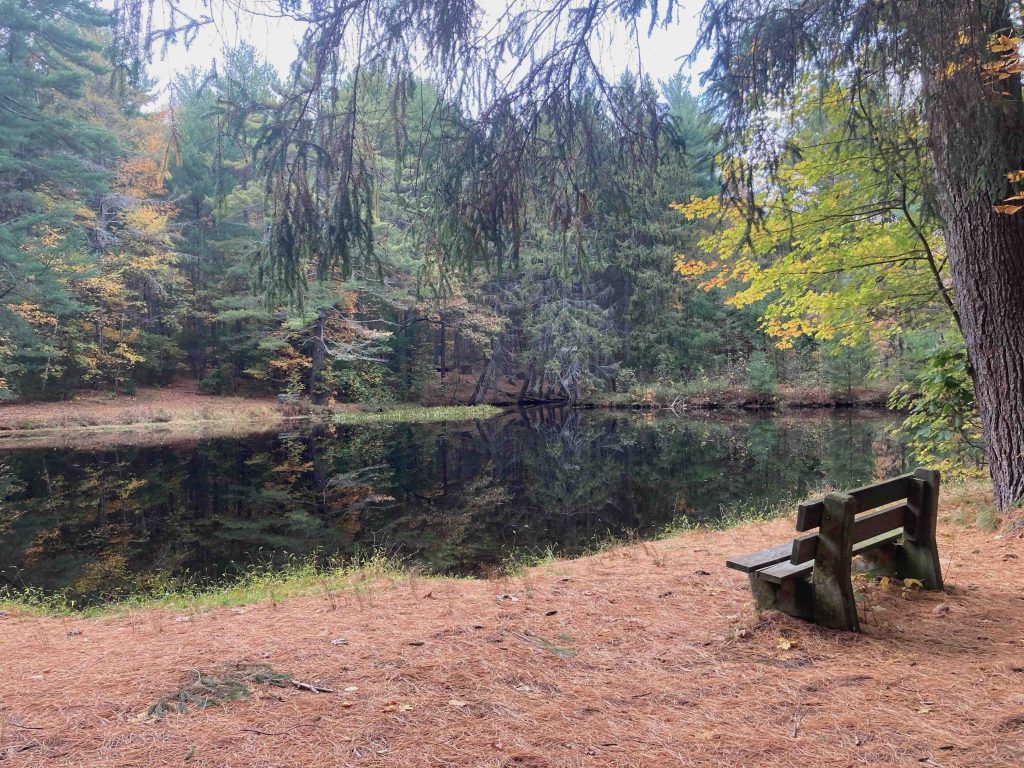
Continuing on the Shenipsit will join the entrance from Bread and Milk St through towering pines to the site of Max Belding’s pond. He had a cabin here made from tobacco barn boards and all that remains now is the chimney. This idyllic spot made by daming the Tankerhoosen River has a bench and a bridge over a small outflow waterfall. There is a large stone tablet dedicating the area that I was sorry to see was broken in half on my October 2020 visit. Due to slightly higher water levels the past couple years the bridge over the outflow has been extended sometime in 2021(?) and a massive pine has fallen into the water making one end a bit marshy.
The trail then works its way around the pond and rejoins the Tankerhoosen River for one of my favorite stretches of trail anywhere. There was a gentleman casting for fish in February, but it didn’t look like he was having much success. Once you meet a wide forest road and large bridge (this one rebuilt in early 2020) you can head left to continue on the Shenipsit to cross Baker Road or right towards Reservoir Road to complete the loop back on the Belding Path.
Shenipsit Previous Section: Valley Falls Park
Shenipsit Next Section: Tankerhoosen WMA
History:
Much of the land was bought in the early 1900s by Frederick Belding (along with Tankerhoosen’s Lebbeus Bissell) who used the properties for year-round family recreation, stocking the river with trout and the forests with pheasants and partridge. They kept three hunting and fishing cabins along the brook, maintained paths, cross-country ski trails, lumbered where necessary, and hiked throughout the property. Remnants of their stonework and bridges can be seen along the river. The land was donated to the state by Max Belding in 1981.
Links:
Peter Marteka – A Gem Along The Tankerhoosen Greenway (2009)
Tommy Hine – It’s a Wild Spot to Drop a Line (2006)
The information shown here is for general reference purposes only. exploreCT.org gives no warranty, expressed or implied, as to the accuracy or reliability of this data. Parking in all areas, whether designated here or not, is at your own risk. exploreCT.org is not responsible for any damage or loss to vehicles or contents.
Last updated June 12th, 2023
Visited 3623 times, 3 Visits today