Beach Pond

Connecticut State Forest / CFPA Blue Blaze Trail

400 acres in Voluntown, CT

Parking: Large lot on North Shore Rd Voluntown, CT

Trail Map       Trails: 3.7 miles         Rating: ★★★☆☆


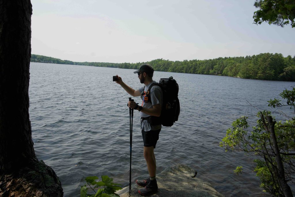
While far more popular as a boat launch Beach Pond has great rugged hiking as well.  I hiked this section in June 2019 as part of a group hike with Mat Jobin for Connecticut Trails Day.

Hiking

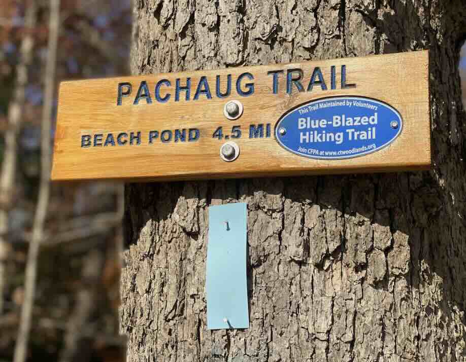
Beach Pond is trailed by the blue blaze Pachaug Trail which heads north next to the entrance to the lot and south next to the boat launch.

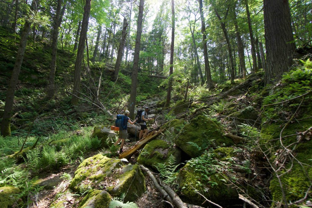
Heading north the trail immediately climbs among the rocks winding through outcrops and ridges.  The terrain alternates between rugged and wet areas with a few trees down obscuring the trail.  At 1.1 miles the trail crosses the dirt Bassett Mills Rd.

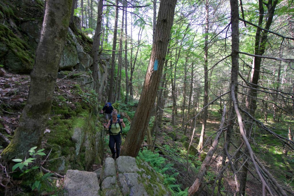
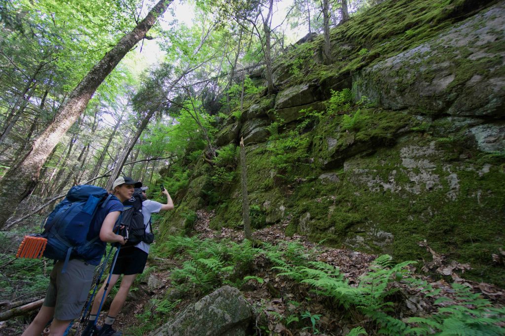
Heading south the trail follows the curve of the water briefly until turning uphill into rocky and hilly terrain. The trail follows rock washes and the edge of high rock walls next to a marsh.  At the CT/RI border this is a logbook and the trails switch from the classic light blue to Rhode Island’s dark blue.  The Rhode Island section follows the east slope of the water punctuated by rocky views of the pond.  After about 2.3 miles the trail reaches Rt. 165 next to Finn Beach.

Boating

Beach Pond is a 346 acre lake on the border of Connecticut and Rhode Island that gets as deep as 60ft.

Fishing and boating are allowed, but swimming and picnicking along the shore are not because the majority of the shoreline is private property.

History:


Links:

Beach Pond Bathymetry

Voluntown Town Hall – Beach Pond

The information shown here is for general reference purposes only. exploreCT.org gives no warranty, expressed or implied, as to the accuracy or reliability of this data. Parking in all areas, whether designated here or not, is at your own risk. exploreCT.org is not responsible for any damage or loss to vehicles or contents.
Last updated June 2nd, 2019

Video

Visited 4777 times, 1 Visits today

Related Listings

Shenipsit: Dark Hollow Section

★★★☆☆

41.669598, -72.503706

Shenipsit : Dark Hollow Brook to Flat Brook Falls Blue Blaze Shenipsit Trail and Connecticut State Forest in Glastonbury, CT Parking: Dark Hollow: At the end the road near… Read more…

Mount Higby

★★★★☆

41.539191, -72.744306

Mount Higby Blue Blaze Trail and The Nature Conservancy in Middlefield and Middletown, CT Parking: Middle: Shoulder parking at the end of Preston Ave, Meriden, CT South… Read more…

Talmadge Tract

★★☆☆☆

41.841828, -72.240032

Talmadge Tract / UCONN Moss Forest / Royal Knowlton Preserve Willington Town Park / Blue Blaze Nipmuck Trail / UCONN 602 acres in Willington, CT Parking: Small…