Baxter Road Open Space
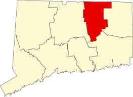
54.54 acres in Mansfield, CT
Parking: Shoulder parking near 239 Baxter Rd, Storrs, CT
Trail Map Trails: 1.25 miles Rating: ★★☆☆☆
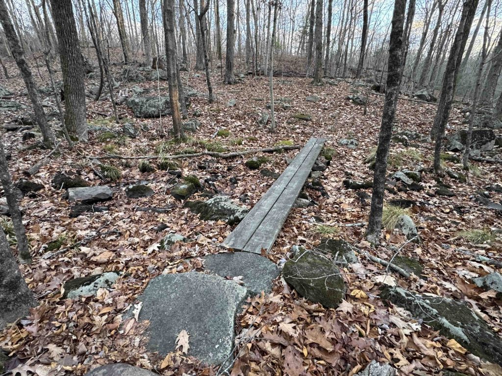
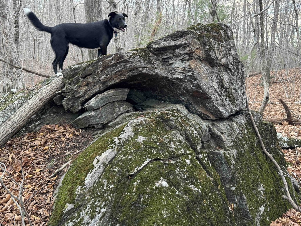
The Baxter Road Open Space is some pretty unassuming woods without the same great information that the Town of Mansfield typically provides for their parks and open spaces. Despite this the mile of trails here appears to be fairly well traveled despite the faded blazes and provides a nice woods double loop for hiking.
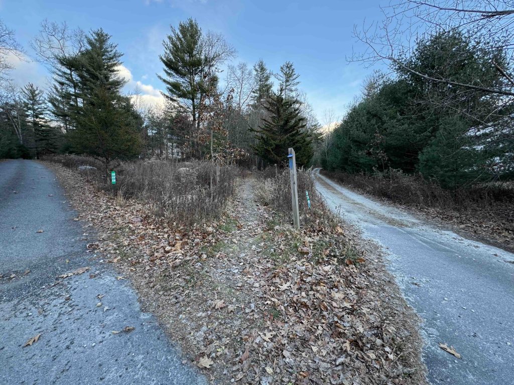
From the corner of the road the blue blazed trail starts next to a post with a Mansfield Open Space property marker. This spot did not receive the same signage upgrade at the rest of the town in 2024. The trail all but follows the driveway into the woods but soon forks into the shorter blue loop. I stayed right at the fork and continued pretty close to private property for the first 0.25 miles or so. The trail crosses a wide flat area that I’m sure is pretty marshy in spring until climbing a small ridge and the connector trail east that crosses Nelson Brook to reach the yellow loop.
The yellow loop climbs a small hill skirts the edge of another and climbs up the backside of a third. In late fall with all the leaves off the trees you could get the shape of the land through the trees to the southwest.
Back on the blue trail you navigate the base of some pretty steep dirt ridges that unfortunately appear to be occasional dumping ground for The Den at Cedar Ridge student housing. The trail recrosses the seasonal wet area to return through the pines to the original fork.
The Town of Mansfield acquired two parcels here in 2006 and 2009.
The information shown here is for general reference purposes only. exploreCT.org gives no warranty, expressed or implied, as to the accuracy or reliability of this data. Parking in all areas, whether designated here or not, is at your own risk. exploreCT.org is not responsible for any damage or loss to vehicles or contents.
Last updated November 24th, 2024
Visited 87 times, 1 Visits today