Donald W. Barnes Boat Launch
in Enfield, CT
Parking: Medium sized lot near S River St, Enfield, CT
Trail Map
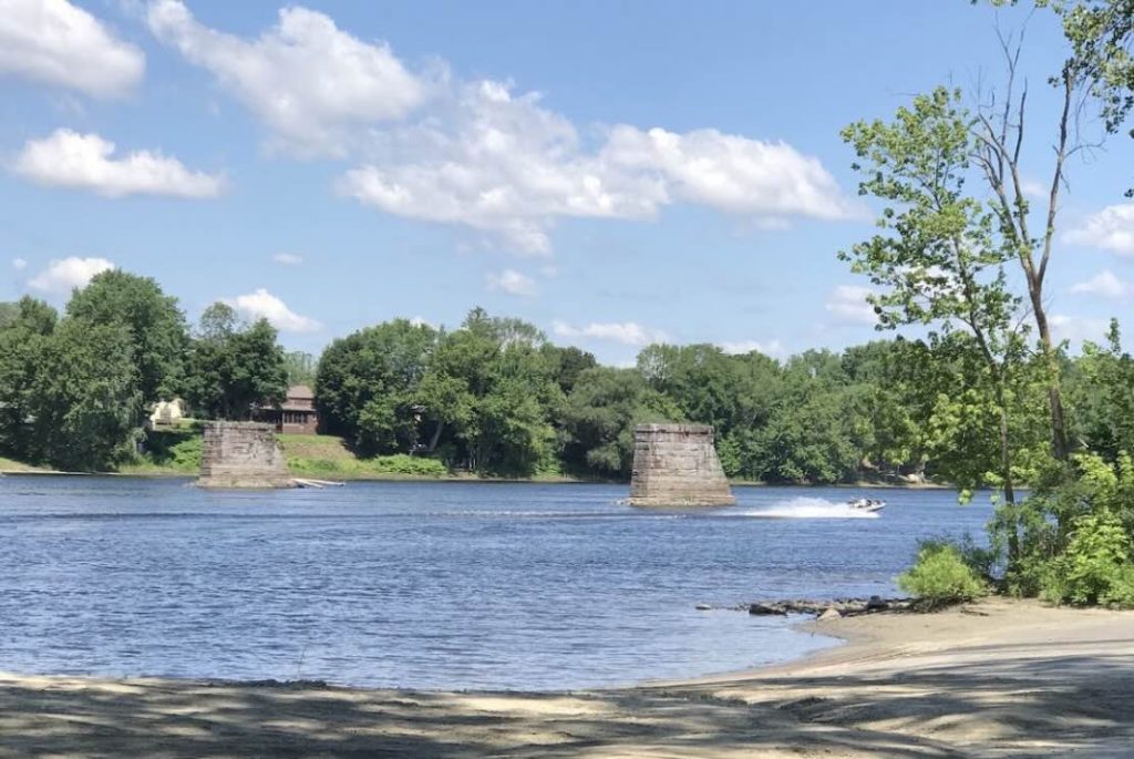
Barnes Boat launch is the northern most boat launch on the Connecticut River within Connecticut’s borders. This is where I launched from in summer 2019 for my paddle down the Connecticut River to Long Island Sound.
The launch ramp is wide and in good shape with ample parking. There are the ruins of a bridge just upstream from the launch and the Massachusetts border is about 1.8 miles.
Veteren’s Bridge is about .6 miles downstream and just beyond that is the Enfield Dam
For fishing, I’ve seen most recommendations to fish from shore south of the Enfield Dam as it’s mainly just stripers above. Best time of year is late-May/early June. The Dam is better accessed from Windsor Locks Canal Trail
History:
The Enfield Dam, begun in 1827 to avoid the rapids and to divert water into the Windsor Locks Canal, is a wooden crib structure (crisscrossed logs or squared-off timber, with rock fill) that now spans the Connecticut River just south of the Rt. 190 bridge between Enfield and Suffield. Nearly 1,500 feet long, the dam fell into disrepair in the late 1970s and is now breached in many areas.
Links:
The information shown here is for general reference purposes only. exploreCT.org gives no warranty, expressed or implied, as to the accuracy or reliability of this data. Parking in all areas, whether designated here or not, is at your own risk. exploreCT.org is not responsible for any damage or loss to vehicles or contents.
Last updated August 29th, 2019
Visited 3981 times, 2 Visits today