Banningwood Preserve
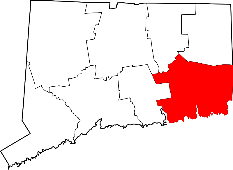
102 acres in Lyme, CT
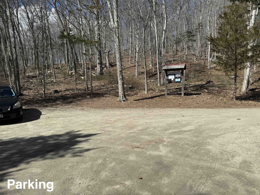
Parking: Small lot near 14 Town St, Lyme, CT
Trail Map Trails: 1.7 miles Rating: ★★★☆☆
Hiking
From the parking area the loop trail either heads uphill to the left or across the driveway to the right. The self-guided tour (pamphlets available at the kiosk or online) are numbered heading right to start but I decided to hike clockwise and headed uphill first.
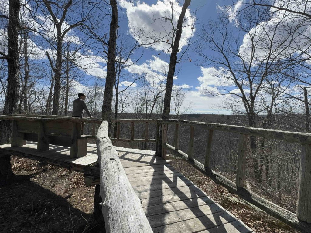
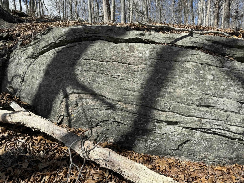
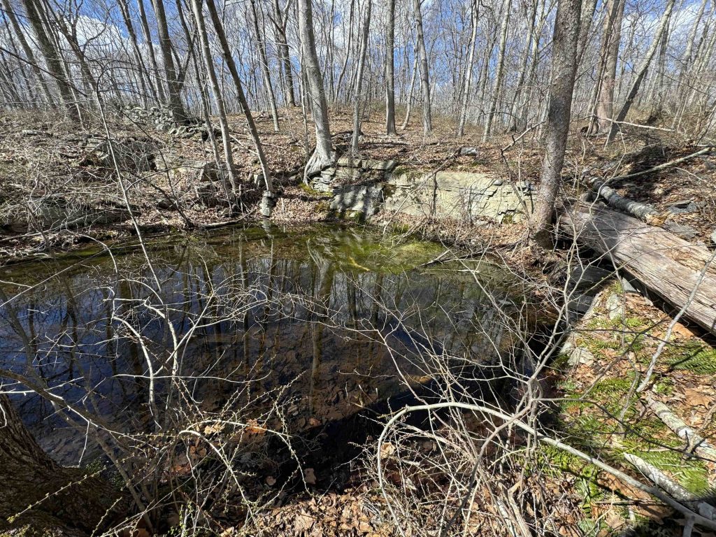
A brief steep climb takes you up among rocky ledges with flowing folded rock explained geologically in the pamphlet. After passing a small old quarry you reach Parker’s Perch and raised handsomely built platform with a view south towards Hadlyme’s Four Corners. The view was lackluster at the start of spring, but I still chose to sit and enjoy it for a few minutes.
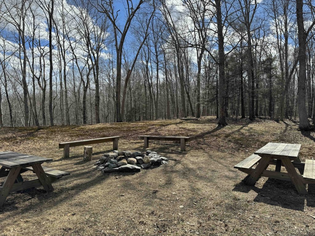
The trail stonewalls at the edge of the property with a view into an old farm field and just beyond that an old farm dumping ground complete with hundred of broken bottles, cans, and two old rusting cars. A steep descent takes you to Diana’s Field which is a great location for a picnic with picnic tables, fire pit, and seating.
You can continue on the red loop for a shorter hike or jump onto the yellow loop for a slightly longer hike.
The yellow loop takes you out to Roaring Brook (one of many so named in the state) and follows it downstream for a number of great views all the way to the red trail and on to return to the parking area.
History:
The property was acquired by the Lyme Land Conservation Trust in 2013 for $15,000.
Links:
- Peter Marteka – A Roaring Brook Runs Through The Forest (2014)
The information shown here is for general reference purposes only. exploreCT.org gives no warranty, expressed or implied, as to the accuracy or reliability of this data. Parking in all areas, whether designated here or not, is at your own risk. exploreCT.org is not responsible for any damage or loss to vehicles or contents.
Last updated March 17th, 2024
Visited 2549 times, 4 Visits today