Adams Mill Trail

Manchester Town Park

35.7 acres in Manchester, CT

Parking: Large lot next to Elicit Brewing 165 Adams St, Manchester, CT

Trail Map          Trails: 2.1 miles         Rating: ★★★☆☆


This 2.1 mile loop trail is part of the Hockanum River Trail a linear park attempting to connect the length of the Hockanum River.  This section can be hiked as a standalone loop or can connect to other sections via a road walk.

Hiking 

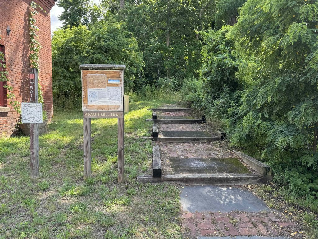
The trail starts to the left of the current Elicit Brewing (formerly the Adams Mill Restaurant). There is ample parking and additional access to the trail in the rear lot off to the left.  The trail heads up onto a dike with a bridge over a dam spillway that overlooks the brewery’s outdoor seating and continues on the raised earth hill.  The path in this early stretch is easy fairly flat walking on a crushed stone path.

The path forks with right taking you closer to the river and the old ruins of a hydroelectric power building for the E.E.Hilliard Company built around 1907. The dam next to the building was blown out in the great hurricane of 1938.  The left fork takes you to a different set of ruins, an old sandstone dam and sluiceway.  Theses two options rejoin next to the river and the trail follows it fairly closely for a stretch occasionally bending into the trees and over yet more mill/dam remains.  The trail then takes a hard turn to switchback uphill to get atop the high riverbank and the old railroad tracks and bridge.

The town and HRLPC officially state that, “Hikers should not cross the railroad bridge to get to the south side of the trail. Instead, hikers should backtrack to Adams Street and the river there and continue their hike accessed behind the former DeCormier Motors dealership. (Motorcar West as of 2024)” In practice, reviews on AllTrails note that everyone uses the bridge and to watch out for sticky tar on the wood ties.

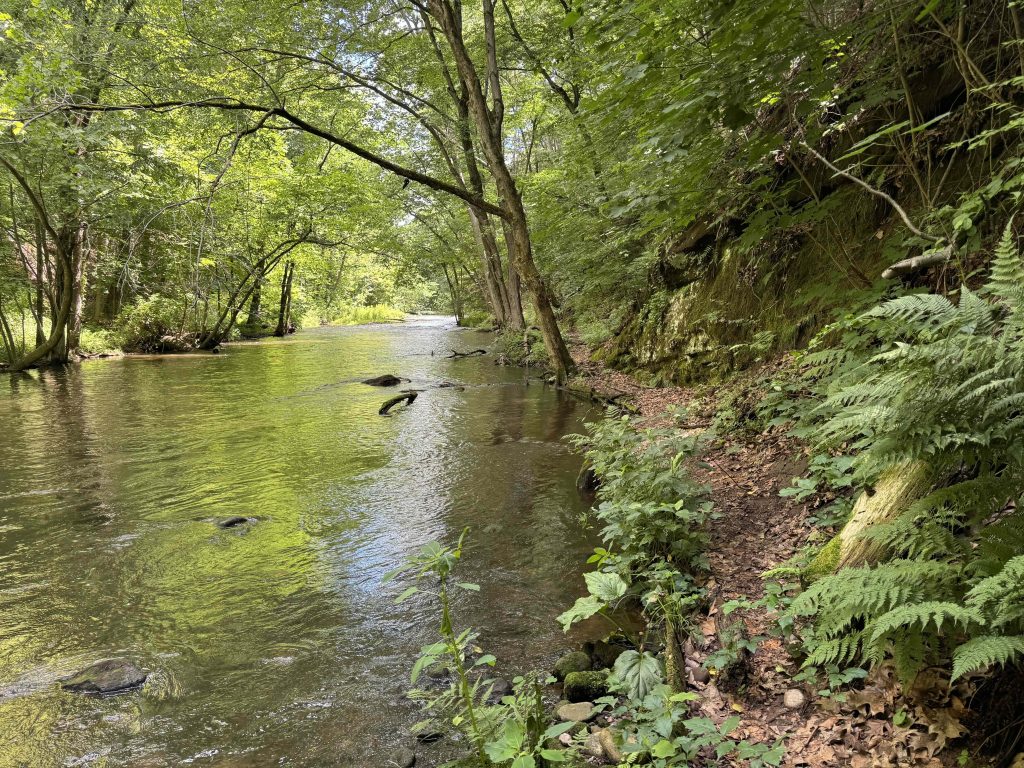
On the south side the trail descends very steeply from the railroad tracks, try to prevent additional erosion here. There is a wide flat stretch here formerly used as a boat launch into the river.  There is an alternate trail on this side too away from the water that I missed on my visit.  The path narrows to a tiny trail along the water’s edge and features some impressively built boardwalk and bridges to stay right along the waters edge.  I imagine some of these areas are flooded after heavy rains or spring high water.

There are views of the hydroelectric ruins from this side of the river and the trail eventually leaves the river’s side to the fenceline of adjacent property and a very overgrown stretch right before the road.  I opted to exit through the dealership’s parking lot and completed the loop walking back on the sidewalk on Adams Street.

History:

The property was purchased by the Town of Manchester in 1995.


Links:

The information shown here is for general reference purposes only. exploreCT.org gives no warranty, expressed or implied, as to the accuracy or reliability of this data. Parking in all areas, whether designated here or not, is at your own risk. exploreCT.org is not responsible for any damage or loss to vehicles or contents.
Last updated June 24th, 2024

Visited 745 times, 1 Visits today

Related Listings

Auperin and Weigold

★★☆☆☆

41.83776,-72.36124

Auperin and John H. Weigold Conservation Areas Tolland Town Park 28.1 acres in Tolland, CT Parking: Small lot down the dirt driveway near 244 Weigold Road Tolland,…

Langhammer Trail

★★☆☆☆

100 Lustig Rd, Ashford, CT 06278, USA

Langhammer Trail Ashford Town Open Space 73 acres in Ashford, CT Parking: Small lot near 100 Lustig Rd, Ashford, CT 06278 Trail Map         …

Shelter Falls

★★☆☆☆

41.811085, -72.281508

Shelter Falls Mansfield Town Park 75 acres in Mansfield, CT Parking: Small pull off near 172 Birch Rd Mansfield, CT Trail Map             Trails:…