Site logo
    • Explore
      • Blue-Blaze Trails
      • Land Trusts
      • State Parks and Forests
      • By Town
    • exploreCT+
      • Membership
      • Shop
      • Events
    • Blog
    • Town Guides
    Sign in or Register
    Listing cover image

    Sunset Hill

    • Trails
      1 miles
    • Rating
      ★★☆☆☆
    • Address
      156 Porter Rd, Ellington, CT 06029, USA
    • Explore
    • Trail Map
    • Reviews 0
    • New Page
    • prev
    • next
    • Bookmark
    • Share
    • Get directions
    • Report
    • prev
    • next
    At A Glance

    Northern Connecticut Land Trust

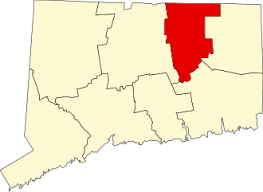
    14 acres in Ellington, CT

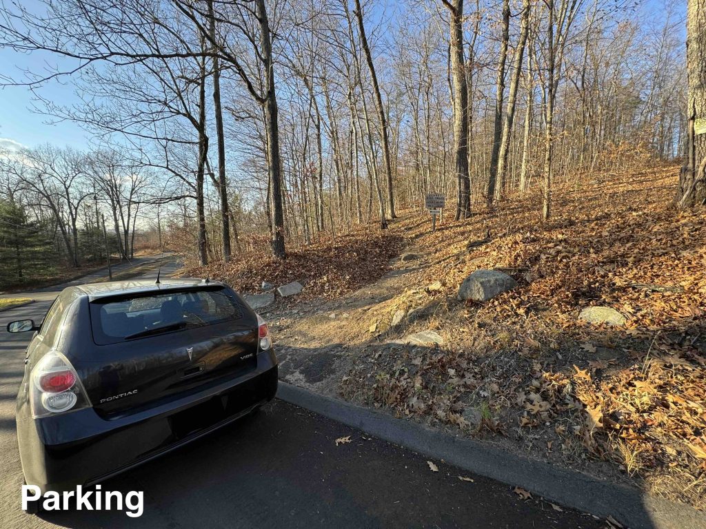
    Parking: Park on the road between 151 and 153 Porter Rd, Ellington, CT

    Trail Map         Trails: 0.5 miles      Rating: ★★☆☆☆

    There isn’t a real parking area at Sunset Hill but the road is quiet enough that parking off the curve seemed safe.

    Hiking

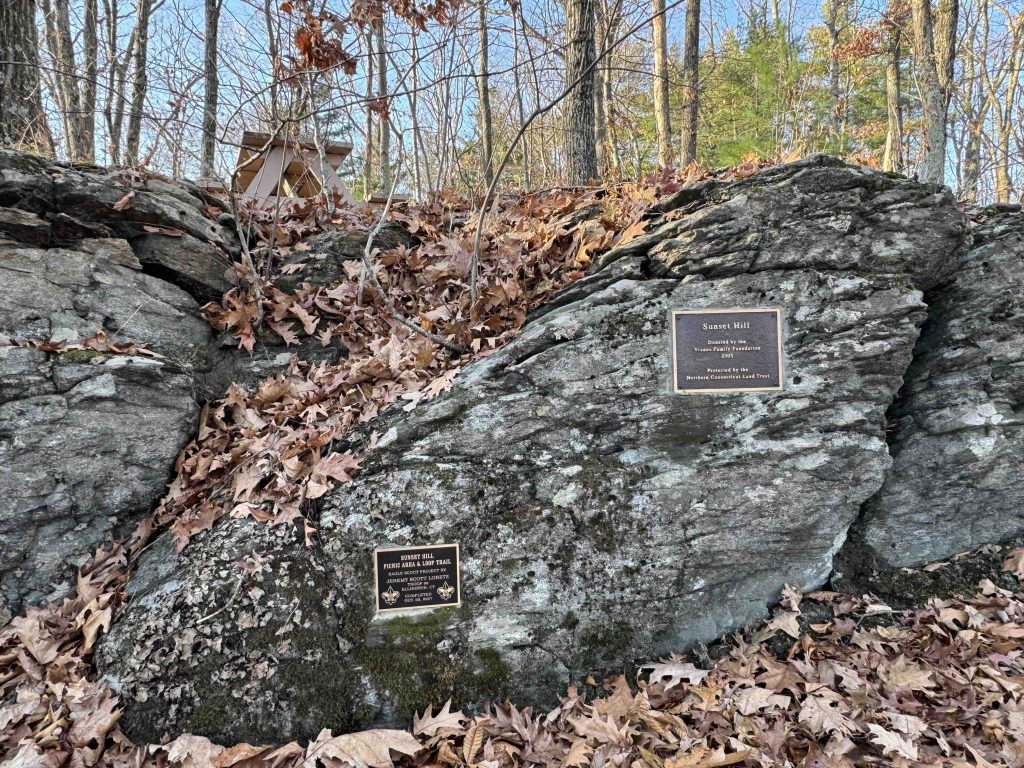
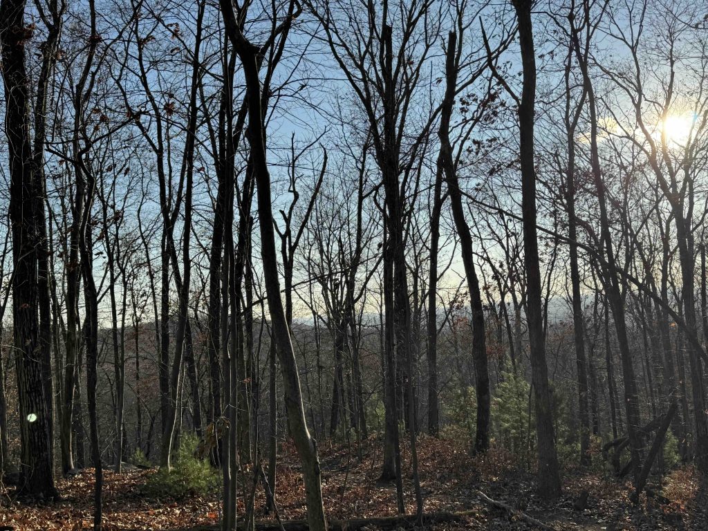
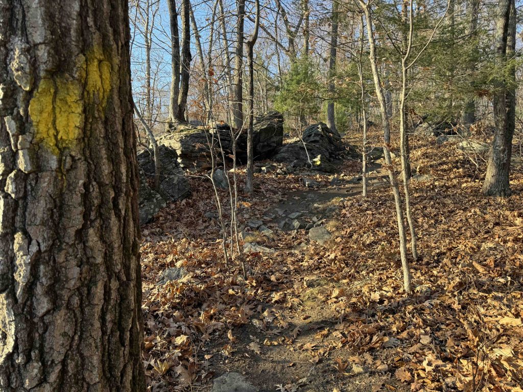
    I followed the yellow blazed trail behind the land trust sign up the steep rocky climb for 0.2 miles. The trail forks before reaching the hilltop and I kept right. You’ll curve around a short rock-face inset with two small plaques highlighting the donors of the property (Vranos Family Foundation) and the Eagle Scout who built the picnic area in 2007 (Jeremy Loretz).  The hilltop has a couple picnic tables and in late Fall the view through the trees was pretty nice.

    The trail continues near the house that was built along the backside of the property, it’s a little too close for both hikers and the property owners I’m sure but you quickly turn away into a stand of dense pines the trail then begins to a rocky descent to rejoin the fork and return to the trailhead.

    History

    The property was purchased by the land trust with funding provided by the Vranos Family Foundation in 2005.

    Links

    CTMQ – NCLT: Sunset Hill Trail (2019)

    Tags
    • ★★☆☆☆
    • 2024
    • Explored
    • Ellington
    • Tolland County
    • Northern Connecticut Land Trust
    Last Updated

    The information shown here is for general reference purposes only. exploreCT.org gives no warranty, expressed or implied, as to the accuracy or reliability of this data. Parking in all areas, whether designated here or not, is at your own risk. exploreCT.org is not responsible for any damage or loss to vehicles or contents. Last updated November 18th, 2024

    Trail Map
    Location
    • 156 Porter Rd, Ellington, CT 06029, USA

      Get Directions
    Gallery
    Categories
    • Hiking
    Gallery
  • No comments yet.
  • Add a review

    Leave a Reply · Cancel reply

    Your email address will not be published. Required fields are marked *

    Overall Rating

    You May Also Be Interested In

    Spruce Brook Falls

    • ★★★★★
    • 16 miles
    Featured
    FW6F+CW Beacon Falls
    • Quick view
    • Bookmark

    Arnold E. Holm Jr. Memoral Park

    • Unexplored
    • 0.3 miles
    37 Rope Ferry Rd
    • Quick view
    • Bookmark

    Camp Oakdale

    • Unexplored
    • 1.4 miles
    176 Meeting House Ln
    • Quick view
    • Bookmark

    Hi, I’m Matt.

    I’m building ExploreCT to be the guide for all your outdoor adventures. All the trails, views, and waterways this great state has to offer.

    Now get out and explore!

    Monthly Newsletter

    Each month I share site updates or an interesting article in my newsletter. It’s short, sweet, and practical.

    600+ explorers read it, I’d love for you to join.

    Thank you!

    You have successfully joined our subscriber list.

    X-twitter Youtube Envelope Instagram

    Cart

      • Facebook
      • X
      • WhatsApp
      • Telegram
      • LinkedIn
      • Tumblr
      • Reddit
      • VKontakte
      • Mail
      • Copy link
      • Share via...
      • Threads
      • Bluesky