Site logo
    • Explore
      • Blue-Blaze Trails
      • Land Trusts
      • State Parks and Forests
      • By Town
    • exploreCT+
      • Membership
      • Shop
      • Events
    • Blog
    • Town Guides
    Sign in or Register
    Listing cover image

    Five Mile Rock

    • Trails
      0 miles
    • Rating
      ★★☆☆☆
    • Address
      264 Randall Road, Lebanon, CT, USA
    • Explore
    • Trail Map
    • Reviews 0
    • New Page
    • prev
    • next
    • Bookmark
    • Share
    • Get directions
    • Report
    • prev
    • next
    At A Glance

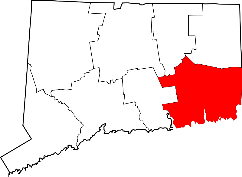
    Lebanon Town Easement on Private Property

    in Lebanon, CT

    Parking: Shoulder parking near 264 Randall Rd, Lebanon, CT

    Trail Map         Trails: 0.4 miles      Rating: ★★☆☆☆

    Hiking

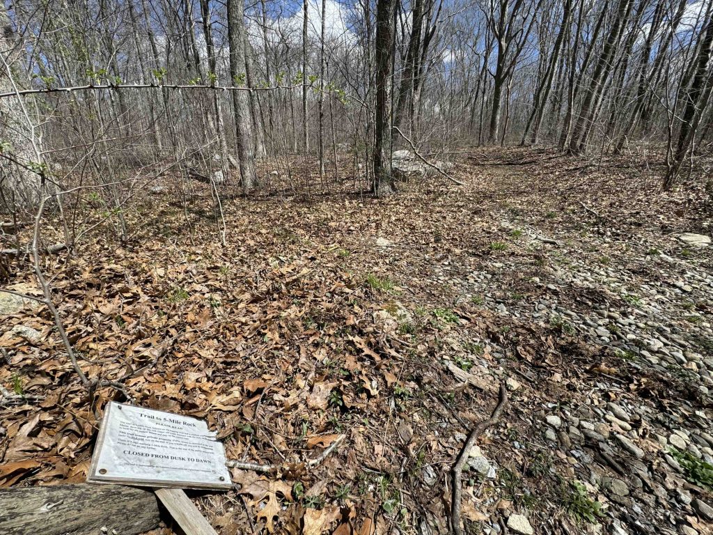
    The trails starts just southwest of Gillette Brook in a break of the stonewall along the gravel Randall Road.  I pulled up onto the rocky edge, but the road doesn’t seem busy enough to worry about the sketchy shoulder parking.

    A small laminated sign, which was laying flat on the ground, confirmed it was the trailhead and requested the visitors stay on the trail as the town only has easement access to this narrow trail through private property.

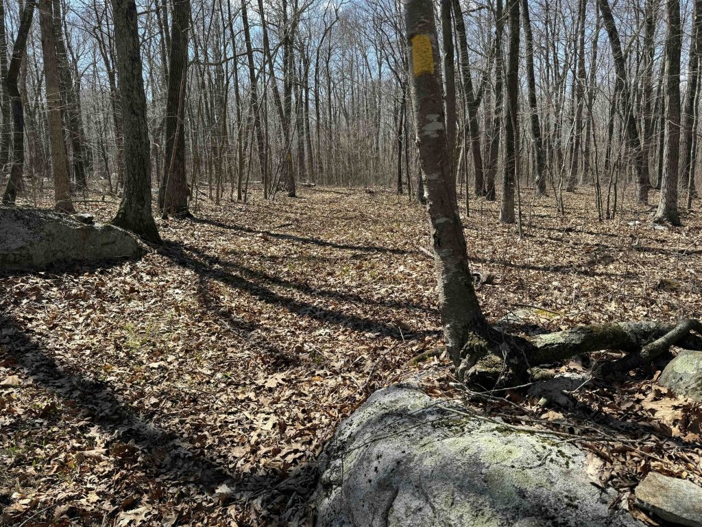
    An old logging road, the trail is wide and easy to follow with large yellow blazes.  The trailhead sign warns of crossing paths, but I didn’t see any until reaching the rock itself.  There were a couple wet patches early in the trail, but it mainly chugs ever so slightly uphill nearly the whole way.

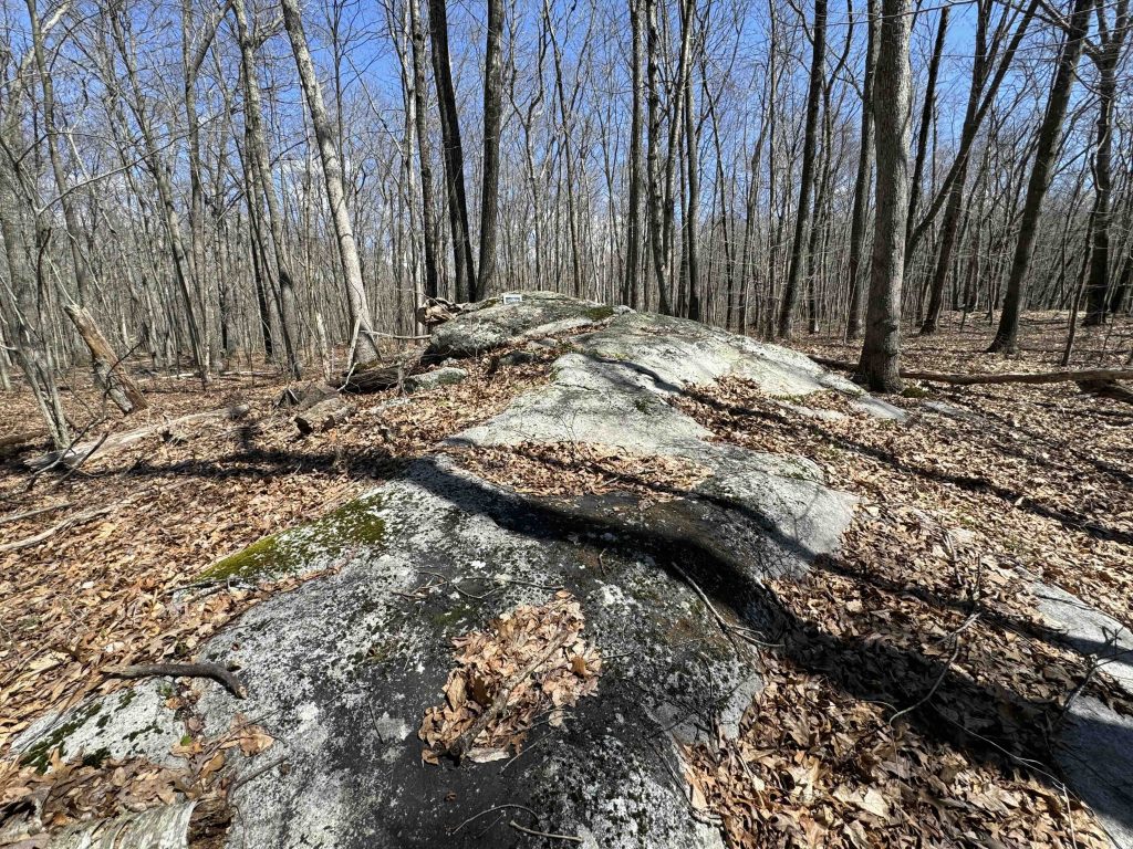
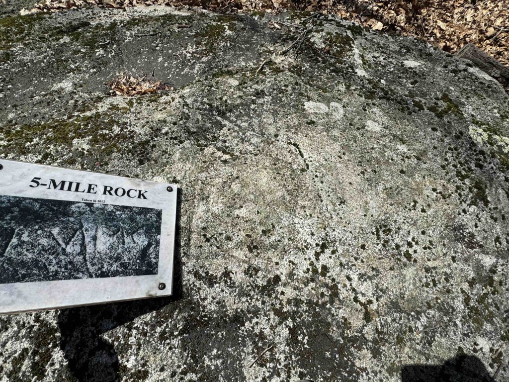
    There are a couple large boulders off the trail that could pass as the ‘Five Mile Rock’ and may build anticipation.  At a flat area of the trail blazes show a turn off the logging road onto a substantial yet wide and low rock. More like a rock ramp than any fabled historical landmark.  Atop the rock a sign that had once been nailed to a tree showed the location of the carving ‘LVMC’ for Lebanon Five Mile Corner carved in 1693 (see the history section below).

    It was like some faint historical easter egg hiding out here in the woods.  Nearly lost and forgotten for decades, inaccessible for years, the hike is unimpressive, and the location is underwhelming, but it is a remanent and a reminder of the bits of history that touch everything should we take the time to look.

    History

    In 1692, four Norwich men, Samuel Mason, John Stanton, Benjamin Brewster and John Birchard bought a large tract from Owaneco, one of the sons of Uncas. This area was called the “Five Miles Square” or simply the “Five Mile” and the ‘Five Mile Rock’ fell right at the southwest corner of the tract and the surveyors etched LVMC into the rock as proof in 1693  Nearly 300 years later the Lebanon Historical Society re-located the corner marker in 1984. The other corners of the tract were marked by large trees now long since gone.  The town was only granted a public access easement in the last several years.

    Links

    Peter Marteka – Finding History in an Old Boulder (2006)

    Tags
    • ★★☆☆☆
    • 2024
    • Explored
    • History
    • Lebanon
    • New London County
    • Peter Marteka
    Last Updated

    The information shown here is for general reference purposes only. exploreCT.org gives no warranty, expressed or implied, as to the accuracy or reliability of this data. Parking in all areas, whether designated here or not, is at your own risk. exploreCT.org is not responsible for any damage or loss to vehicles or contents. Last updated April 15th, 2024

    Trail Map
    Location
    • 264 Randall Road, Lebanon, CT, USA

      Get Directions
    Gallery
    Categories
    • Hiking
    Gallery
  • No comments yet.
  • Add a review

    Leave a Reply · Cancel reply

    Your email address will not be published. Required fields are marked *

    Overall Rating

    You May Also Be Interested In

    Spruce Brook Falls

    • ★★★★★
    • 16 miles
    Featured
    FW6F+CW Beacon Falls
    • Quick view
    • Bookmark

    Thach Preserve

    • ★★☆☆☆
    • 1 miles
    123 Brush Hill Rd
    • Quick view
    • Bookmark

    Mendell's Folly

    • ★★★★☆
    • 3.8 miles
    390 Beacon Rd
    • Quick view
    • Bookmark

    Hi, I’m Matt.

    I’m building ExploreCT to be the guide for all your outdoor adventures. All the trails, views, and waterways this great state has to offer.

    Now get out and explore!

    Monthly Newsletter

    Each month I share site updates or an interesting article in my newsletter. It’s short, sweet, and practical.

    600+ explorers read it, I’d love for you to join.

    Thank you!

    You have successfully joined our subscriber list.

    X-twitter Youtube Envelope Instagram

    Cart

      • Facebook
      • X
      • WhatsApp
      • Telegram
      • LinkedIn
      • Tumblr
      • Reddit
      • VKontakte
      • Mail
      • Copy link
      • Share via...
      • Threads
      • Bluesky