Site logo
    • Explore
      • Blue-Blaze Trails
      • Land Trusts
      • State Parks and Forests
      • By Town
    • exploreCT+
      • Membership
      • Shop
      • Events
    • Blog
    • Town Guides
    Sign in
    Listing cover image

    Lay-Allen Preserve

    • Trails
      7 miles
    • Rating
      ★★☆☆☆
    • Address
      33 Lords Meadow Ln, Old Lyme, CT 06371, USA
    • Explore
    • Trail Map
    • New Page
    • prev
    • next
    • Share
    • Get directions
    • Report
    • prev
    • next
    At A Glance

    Lay-Allen Preserve and McCulloch Family Open Space

    Old Lyme Land Trust and Old Lyme Town Park

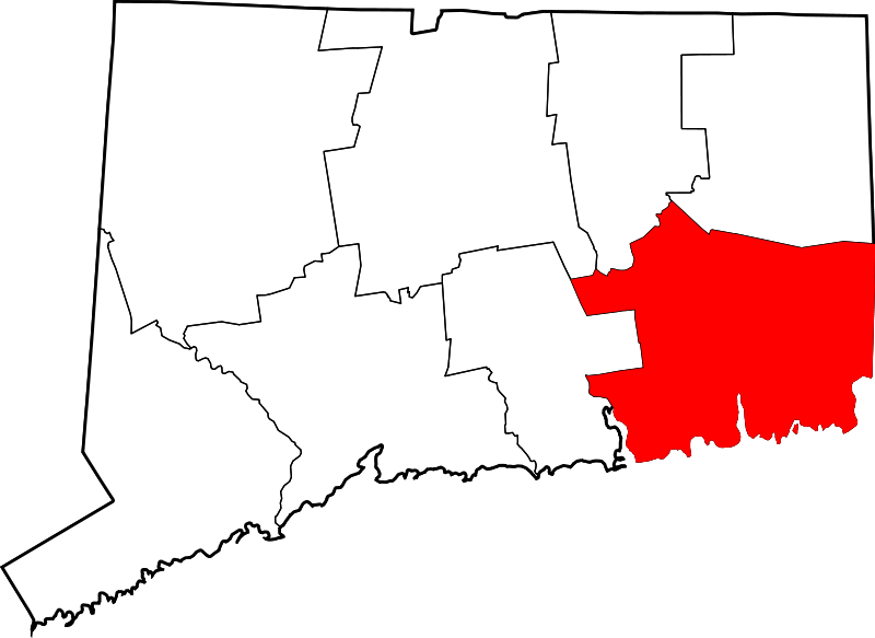
    527 acres in Old Lyme, CT

    Parking: 

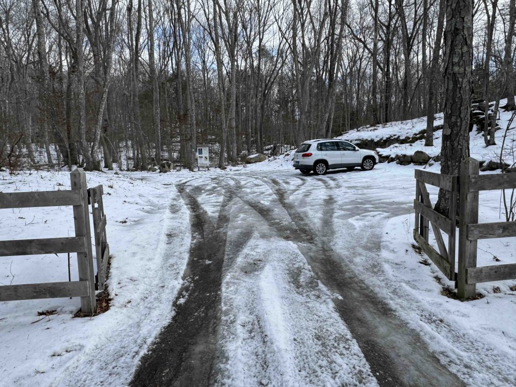
      • North end: Small pull off past 33 Lords Meadow Ln, Old Lyme, CT
      • West (Orange Trail): Shoulder parking near 4A Bayberry Ridge Rd, Old Lyme, CT
      • West (Green Trail): Small lot near 84-56 Whippoorwill Rd, Old Lyme, CT
      • South end: Cul-de-sac near 98 Flat Rock Rd, Old Lyme, CT

    Trail Map           Trails: 7 miles       Rating: ★★☆☆☆

    This property combines town open space with land trust trails for a varied array of terrain, stream and pond views, and rocky ledges.

    Hiking

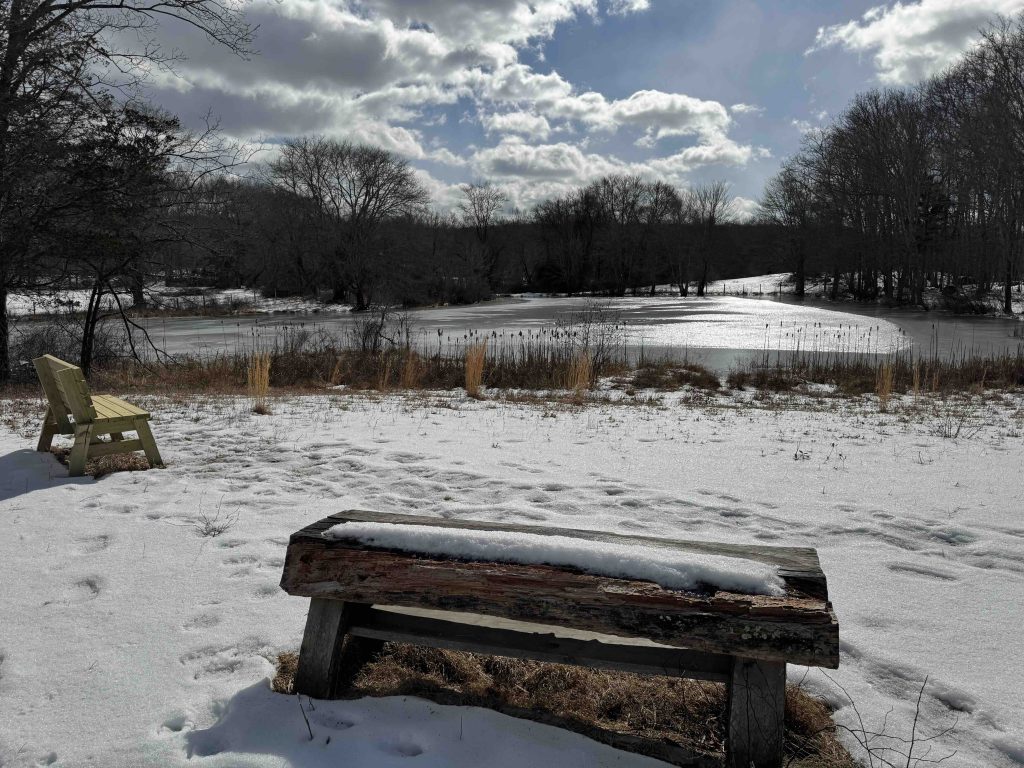
    I started my hike from McCulloch Family Open Space, also known as McCulloch Farm, on the green Tree in Gap Trail. What surely must be an old farm road headed down to Rook's Meadow and Jimmy's Pond in a sharp February breeze. The sun was bright so we sat on the small bench overlooking the pond for a few minutes before continuing the hike.

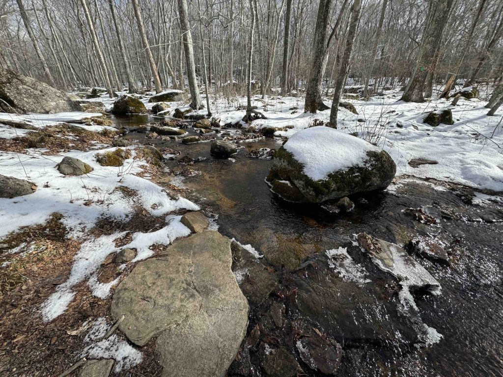
    The green trail gets progressively rockier until reaching the yellow trail, which I took north to the blue mainline trail through the heart of the property. Just as quickly I jumped off onto the red trail a 0.9 mile lollipop loop crossing lowland near a marsh before climbing up near the summit (which must be off on private property) of a large hill.

    Back on the blue trail I headed south and turned east onto the purple trail, which was my favorite of the hike for its rock features, it gave me strong reminders of Miles of Ledges out in Burlington.

    Due to the February cold I cut the full exploration short and worked my way along the ledge of the blue trail to the green and back to my car.

    Tags
    • ★★☆☆☆
    • 2025
    • Explored
    • New London County
    • Old Lyme
    • Old Lyme Land Trust
    Last Updated

    The information shown here is for general reference purposes only. exploreCT.org gives no warranty, expressed or implied, as to the accuracy or reliability of this data. Parking in all areas, whether designated here or not, is at your own risk. exploreCT.org is not responsible for any damage or loss to vehicles or contents. Last updated: February 17th, 2025

    Trail Map
    Location
    • 33 Lords Meadow Ln, Old Lyme, CT 06371, USA

      Get Directions
    Gallery
    Categories
    • Hiking
    Gallery

    You May Also Be Interested In

    Spruce Brook Falls

    • ★★★★★
    • 16 miles
    Featured
    FW6F+CW Beacon Falls
    • Quick view
    • Bookmark

    Cherry Lane Park

    • Unexplored
    • 1.8 miles
    79 Cherry Lane
    • Quick view
    • Bookmark

    Cobble Brook Vista Preserve

    • Unexplored
    • 3.6 miles
    26 Studio Hill Circle
    • Quick view
    • Bookmark

    Hi, I’m Matt.

    I’m building ExploreCT to be the guide for all your outdoor adventures. All the trails, views, and waterways this great state has to offer.

    Now get out and explore!

    Monthly Newsletter

    Each month I share site updates or an interesting article in my newsletter. It’s short, sweet, and practical.

    600+ explorers read it, I’d love for you to join.

    Thank you!

    You have successfully joined our subscriber list.

    X-twitter Youtube Envelope Instagram

    Cart

      • Facebook
      • X
      • WhatsApp
      • Telegram
      • LinkedIn
      • Tumblr
      • Reddit
      • VKontakte
      • Mail
      • Copy link
      • Share via...
      • Threads
      • Bluesky