Site logo
    • Explore
      • Blue-Blaze Trails
      • Land Trusts
      • State Parks and Forests
      • By Town
    • exploreCT+
      • Membership
      • Shop
      • Events
    • Blog
    • Town Guides
    Sign in or Register
    Listing cover image

    Upper Pine Brook Preserve

    • Trails
      1 miles
    • Rating
      ★★☆☆☆
    • Address
      187 Chestnut Hill Rd, East Hampton, CT 06424, USA
    • Explore
    • Trail Map
    • Reviews 0
    • New Page
    • prev
    • next
    • Bookmark
    • Share
    • Get directions
    • Report
    • prev
    • next
    At A Glance

    Middlesex Land Trust

    25.78 acres in East Hampton, CT

    Parking: Shoulder parking near 187 Chestnut Hill Rd, East Hampton, CT

    Trail Map          Trails: 1 mile         Rating: ★★☆☆☆

    Hiking

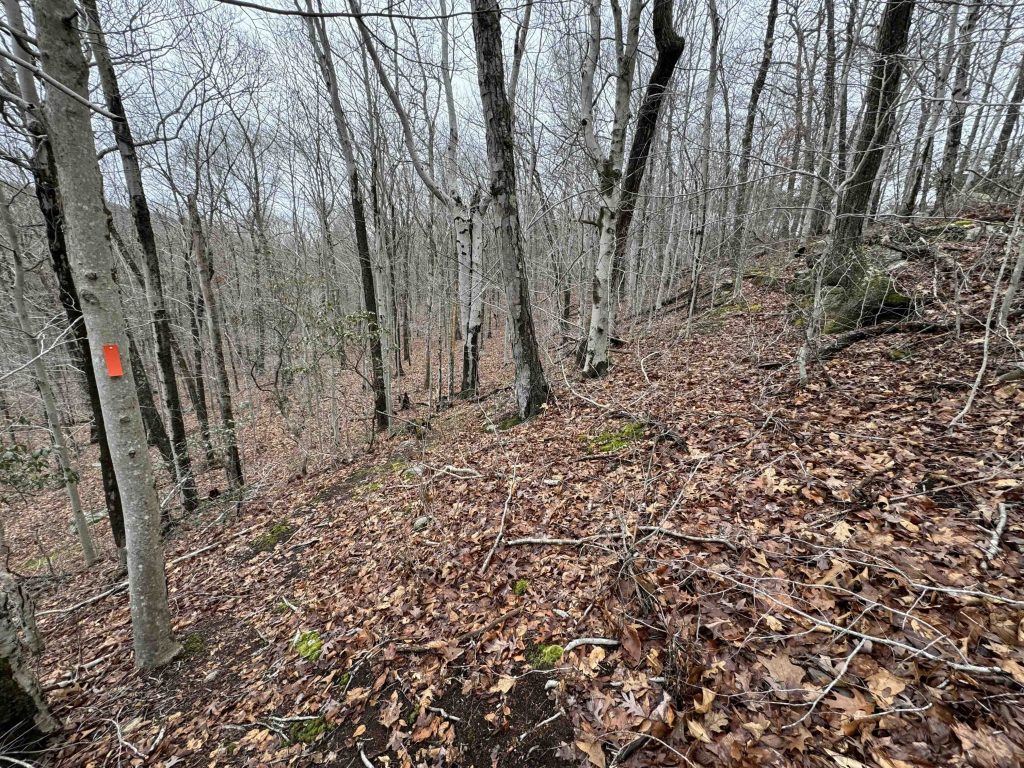
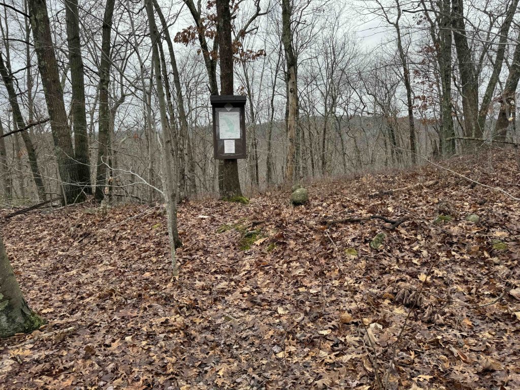
    There isn’t much parking on the shoulder of Chestnut Hill Road, but thankfully it seems pretty quiet.  The trail starts steeply descending on a series of tight switchbacks towards the brook.  Once off the worst of the slope the trail forks into the loop.

    I chose to head right and take the upper portion leaving the brook for the second half. The trail is less often used through easy to follow.  Heavy rains over the past couple months have taken a toll, but it is a well selected route.  I startled off a few deer further down the slope, sending them bounding off among the trees.

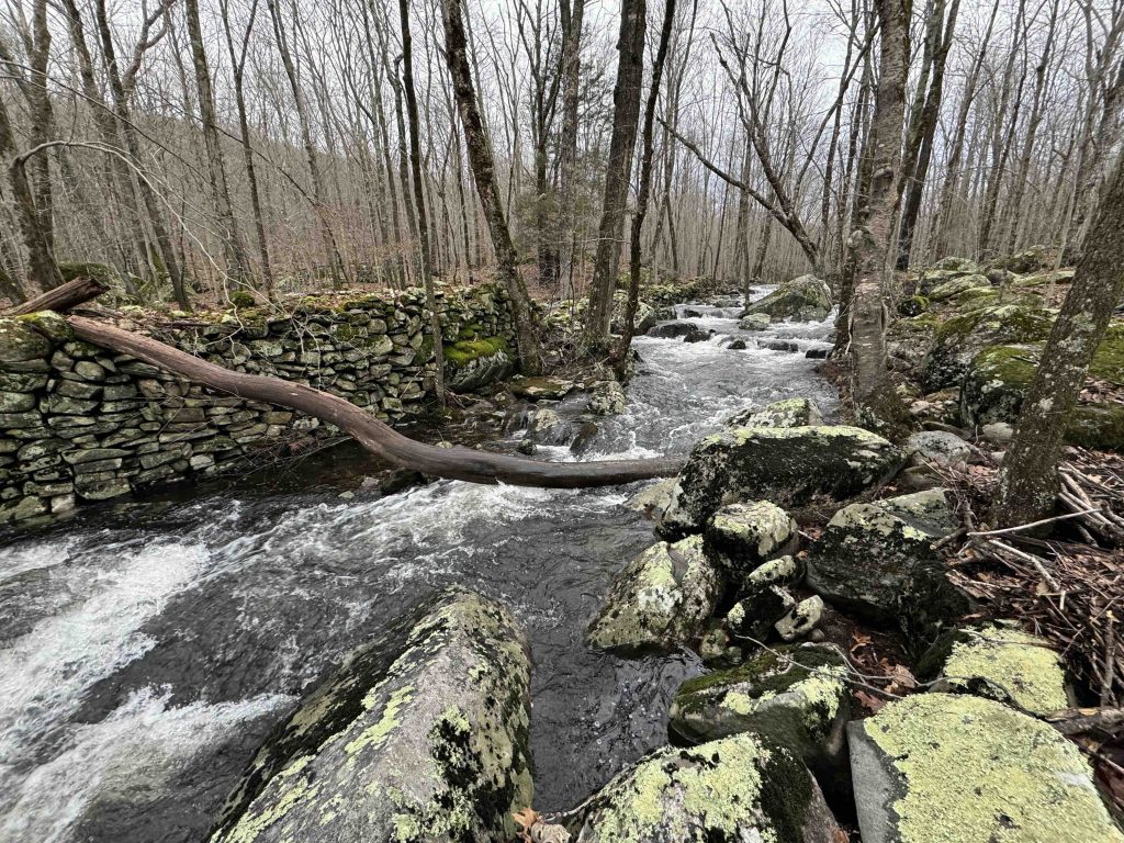
    The trail curves at the property boundary and meets Upper Pine Brook.  Those heavy rains have swelled the brook to river status making islands at the center.  It made me wonder what the average water level is here, if the brook slows to a trickle in the summer.

    Following the brook down stream for the second half I came across the ruins of an old mill with heavy stone walls lining the brook.  This area was apparently a popular stretch for mills in the 1800s and some light research suggests that this could have been a paper mill.  More digging is required here.

    Past the ruins the trail begins to gradually climb again to meet the original fork.

    History

    The land trust acquired this property in November 2001.

    Tags
    • ★★☆☆☆
    • 2024
    • Explored
    • East Hampton
    • Middlesex County
    • Middlesex Land Trust
    Last Updated

    The information shown here is for general reference purposes only. exploreCT.org gives no warranty, expressed or implied, as to the accuracy or reliability of this data. Parking in all areas, whether designated here or not, is at your own risk. exploreCT.org is not responsible for any damage or loss to vehicles or contents. Last updated January 29th, 2024

    Trail Map
    Location
    • 187 Chestnut Hill Rd, East Hampton, CT 06424, USA

      Get Directions
    Gallery
    Categories
    • Hiking
    Gallery
  • No comments yet.
  • Add a review

    Leave a Reply · Cancel reply

    Your email address will not be published. Required fields are marked *

    Overall Rating

    You May Also Be Interested In

    Spruce Brook Falls

    • ★★★★★
    • 16 miles
    Featured
    FW6F+CW Beacon Falls
    • Quick view
    • Bookmark

    Thach Preserve

    • ★★☆☆☆
    • 1 miles
    123 Brush Hill Rd
    • Quick view
    • Bookmark

    Mendell's Folly

    • ★★★★☆
    • 3.8 miles
    390 Beacon Rd
    • Quick view
    • Bookmark

    Hi, I’m Matt.

    I’m building ExploreCT to be the guide for all your outdoor adventures. All the trails, views, and waterways this great state has to offer.

    Now get out and explore!

    Monthly Newsletter

    Each month I share site updates or an interesting article in my newsletter. It’s short, sweet, and practical.

    600+ explorers read it, I’d love for you to join.

    Thank you!

    You have successfully joined our subscriber list.

    X-twitter Youtube Envelope Instagram

    Cart

      • Facebook
      • X
      • WhatsApp
      • Telegram
      • LinkedIn
      • Tumblr
      • Reddit
      • VKontakte
      • Mail
      • Copy link
      • Share via...
      • Threads
      • Bluesky