Site logo
    • Explore
      • Blue-Blaze Trails
      • Land Trusts
      • State Parks and Forests
      • By Town
    • exploreCT+
      • Membership
      • Shop
      • Events
    • Blog
    • Town Guides
    Sign in or Register
    Listing cover image

    Laidlaw Recreation Area

    • Trails
      1 miles
    • Rating
      ★★☆☆☆
    • Address
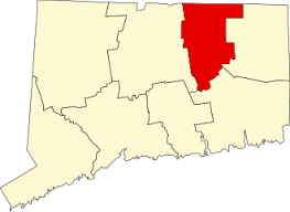
      999 Merrow Rd, Coventry, CT, USA
    • Explore
    • Trail Map
    • Reviews 0
    • New Page
    • prev
    • next
    • Bookmark
    • Share
    • Get directions
    • Report
    • prev
    • next
    At A Glance

    Coventry Town Park

    43 acres in Coventry, CT

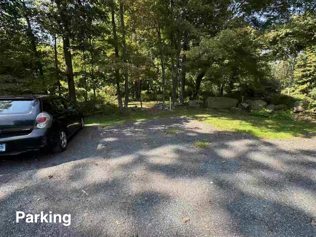
    Parking: Medium sized lot near 999 Merrow Rd, Coventry, CT

    Trail Map           Trails: 0.7 miles          Rating: ★★☆☆☆

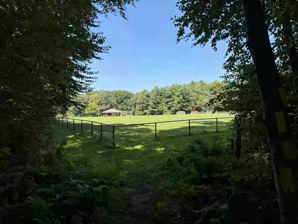
    Laidlaw is about 75% of your standard town park, there’s an short easy walking path, a couple of sports fields, a pavilion, a playscape, and ample parking.  The only things missing are some courts and amenities.

    Hiking

    I was lucky enough to hike just a couple weeks after a volunteer work party spruced up the trail.

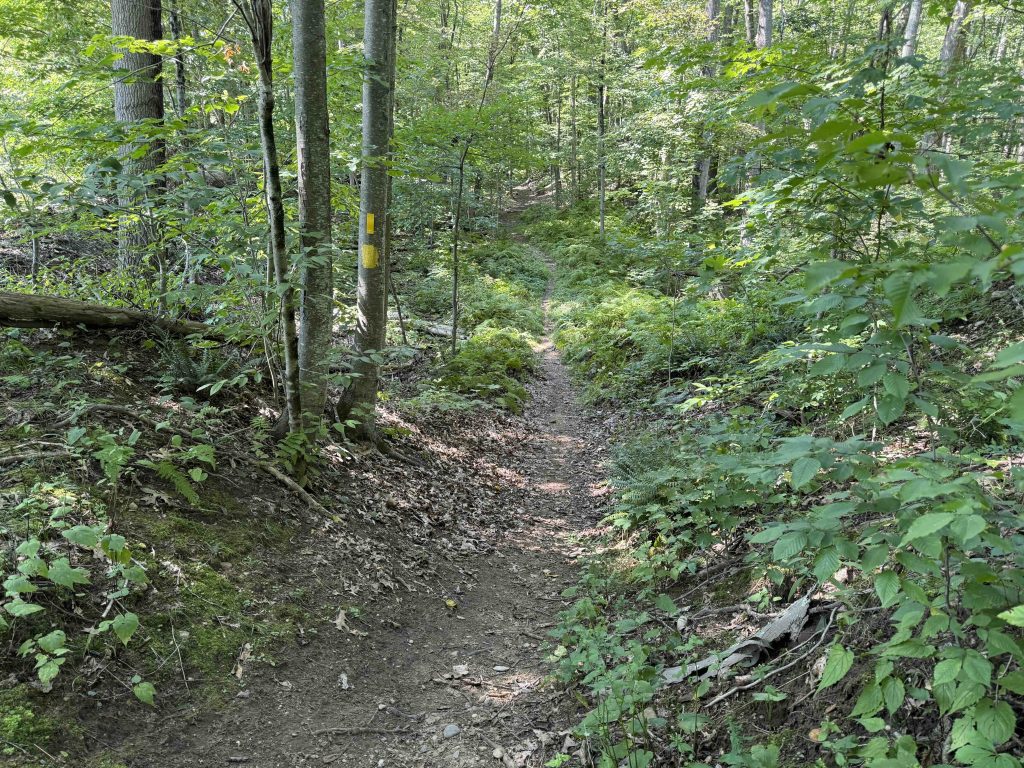
    The path here starts from the right side parking area either heading left directly into the woods on a wood chip trail or right crossing the entrance woods to reenter the forest.  I chose to head left down the wood chip path over a small mound and onto a well traveled forested path.  The trail is largely clear (1 or 2 downed trees to step over) and wide and flat enough for easy walking.  The backside of the loop comes out along the fence line of the soccer fields and follows the length of the fence until reentering the woods.

    There is a connection of white blazes here to the Rolling Hills/Windy Hills loop, which is about half trail and half roadwalk that I chose not to explore.

    The trail passes close to private property and then enters a evergreen section before descending into a gully just north of the fields before returning to the parking area.

    History

    The property’s first 37 acres were acquired by the Town of Coventry on October 12th, 1968. An additional 6 acres was acquired in May 2000.

    Tags
    • ★★☆☆☆
    • 2024
    • Explored
    • Coventry
    • Tolland County
    Last Updated

    The information shown here is for general reference purposes only. exploreCT.org gives no warranty, expressed or implied, as to the accuracy or reliability of this data. Parking in all areas, whether designated here or not, is at your own risk. exploreCT.org is not responsible for any damage or loss to vehicles or contents. Last updated August 27th, 2024

    Trail Map
    Location
    • 999 Merrow Rd, Coventry, CT, USA

      Get Directions
    Gallery
    Categories
    • Hiking
    Gallery
  • No comments yet.
  • Add a review

    Leave a Reply · Cancel reply

    Your email address will not be published. Required fields are marked *

    Overall Rating

    You May Also Be Interested In

    Spruce Brook Falls

    • ★★★★★
    • 16 miles
    Featured
    FW6F+CW Beacon Falls
    • Quick view
    • Bookmark

    Thach Preserve

    • ★★☆☆☆
    • 1 miles
    123 Brush Hill Rd
    • Quick view
    • Bookmark

    Mendell's Folly

    • ★★★★☆
    • 3.8 miles
    390 Beacon Rd
    • Quick view
    • Bookmark

    Hi, I’m Matt.

    I’m building ExploreCT to be the guide for all your outdoor adventures. All the trails, views, and waterways this great state has to offer.

    Now get out and explore!

    Monthly Newsletter

    Each month I share site updates or an interesting article in my newsletter. It’s short, sweet, and practical.

    600+ explorers read it, I’d love for you to join.

    Thank you!

    You have successfully joined our subscriber list.

    X-twitter Youtube Envelope Instagram

    Cart

      • Facebook
      • X
      • WhatsApp
      • Telegram
      • LinkedIn
      • Tumblr
      • Reddit
      • VKontakte
      • Mail
      • Copy link
      • Share via...
      • Threads
      • Bluesky