Site logo
    • Explore
      • Blue-Blaze Trails
      • Land Trusts
      • State Parks and Forests
      • By Town
    • exploreCT+
      • Membership
      • Shop
      • Events
    • Blog
    • Town Guides
    Sign in or Register
    Listing cover image

    Cedar Wood Preserve

    • Trails
      2 miles
    • Rating
      ★★☆☆☆
    • Address
      183 North Wawecus Hill Road, Norwich, CT, USA
    • Explore
    • Trail Map
    • Reviews 0
    • New Page
    • prev
    • next
    • Bookmark
    • Share
    • Get directions
    • Report
    • prev
    • next
    At A Glance

    Avalonia Land Conservancy

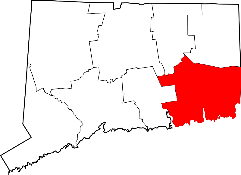
    47.27 acres in Norwich, CT

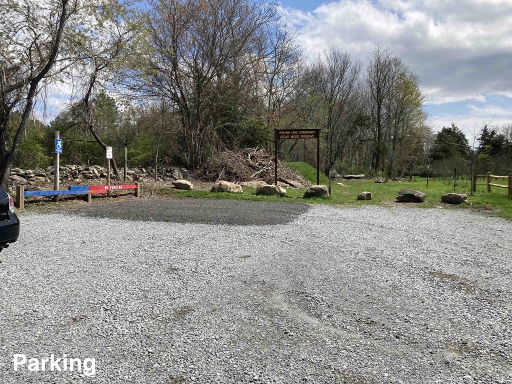
    Parking: Small lot across from 183 N Wawecus Hill Rd, Norwich, CT

    Trail Map        Trails: 1.7 miles       Rating: ★★☆☆☆

    Cedar Wood Preserve is meant to be ADA accessible and work is well underway.  The parking lot has a handicap accessible parking spot and unloading zone and the entrance trail and boardwalk are being improved to offer maximum accessibility (completed in December 2023).  Work isn’t complete yet so always consider supporting Avalonia so they can continue their great work!

    Hiking

    I hiked the outermost loop here though at the time a trail map wasn’t available so I just kept taking whatever option looked like it would take me the farthest.  Now there is an official trail map, the loops are clear and well blazed and you can easily get a nice 1.5 mile hike here.

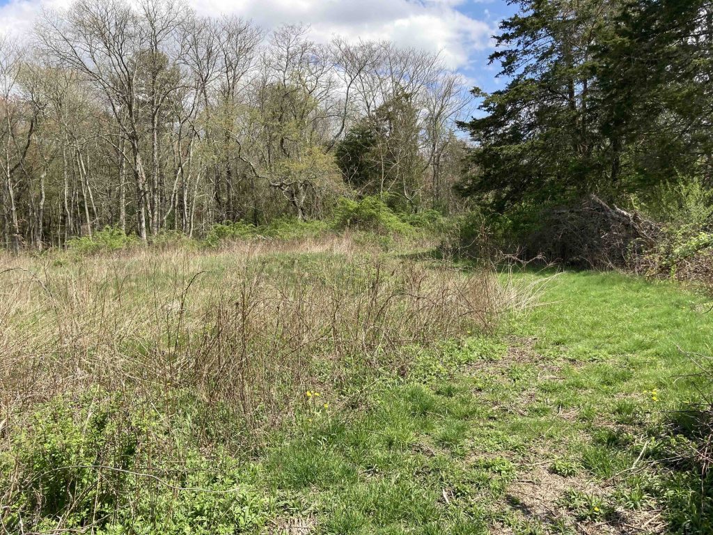
    From the parking area, passing the trailhead sign, the trail starts on a wet grassy area and a boardwalk pinched between private property and a flooded stonewall at the edge of a farm field.  The trail then opens largely open fields that I was surprised to learn were farmed as recently as 2o17.  You happen to be looking directly into someone’s back yard but you head back through the fields and among the eponymous cedars.  As you enter the woods you’ll encounter the blue blazed trail which I took right towards the cell tower.

    This quickly leads you to the yellow trail which descends gradually and can be used to reconnect to the blue for a shorter inner loop.  I took the red trail which follows a gully down to a marshy stream near I-395 at the edge of the property.  I found it funny that the red trail crosses the stream on a rock hop and 30 feet away behind some No Trespassing signs is a well built little bridge.  Hard to imagine the private property use that wouldn’t just allow the trail to use its little bridge.

    The red trail works its way back to connect to the blue and the most picturesque seciton in my opinion with rocky outcrops among old pines.  Two sections of trail were wet here after a day of rain which required careful footwork but I soon connected back to the open fields completing the outer loop hike for 1.4 miles.a

    History

    Preserved in 2021. The official opening of the trails was on November 19th, 2022.

    Links

    Claire Bessette – Cedar Wood Preserve in Norwich offers people with disabilities access to nature (2022)

    Tags
    • ★★☆☆☆
    • 2023
    • Explored
    • Avalonia Land Conservancy
    • Norwich
    • New London County
    Last Updated

    The information shown here is for general reference purposes only. exploreCT.org gives no warranty, expressed or implied, as to the accuracy or reliability of this data. Parking in all areas, whether designated here or not, is at your own risk. exploreCT.org is not responsible for any damage or loss to vehicles or contents. Last updated April 24th, 2023

    Trail Map
    Location
    • 183 North Wawecus Hill Road, Norwich, CT, USA

      Get Directions
    Gallery
    Categories
    • Hiking
    Gallery
  • No comments yet.
  • Add a review

    Leave a Reply · Cancel reply

    Your email address will not be published. Required fields are marked *

    Overall Rating

    You May Also Be Interested In

    Spruce Brook Falls

    • ★★★★★
    • 16 miles
    Featured
    FW6F+CW Beacon Falls
    • Quick view
    • Bookmark

    Thach Preserve

    • ★★☆☆☆
    • 1 miles
    123 Brush Hill Rd
    • Quick view
    • Bookmark

    Mendell's Folly

    • ★★★★☆
    • 3.8 miles
    390 Beacon Rd
    • Quick view
    • Bookmark

    Hi, I’m Matt.

    I’m building ExploreCT to be the guide for all your outdoor adventures. All the trails, views, and waterways this great state has to offer.

    Now get out and explore!

    Monthly Newsletter

    Each month I share site updates or an interesting article in my newsletter. It’s short, sweet, and practical.

    600+ explorers read it, I’d love for you to join.

    Thank you!

    You have successfully joined our subscriber list.

    X-twitter Youtube Envelope Instagram

    Cart

      • Facebook
      • X
      • WhatsApp
      • Telegram
      • LinkedIn
      • Tumblr
      • Reddit
      • VKontakte
      • Mail
      • Copy link
      • Share via...
      • Threads
      • Bluesky