Site logo
    • Explore
      • Blue-Blaze Trails
      • Land Trusts
      • State Parks and Forests
      • By Town
    • exploreCT+
      • Membership
      • Shop
      • Events
    • Blog
    • Town Guides
    Sign in or Register
    Listing cover image

    Rose Hill WMA

    • Trails
      2 miles
    • Rating
      ★★☆☆☆
    • Address
      77-5 Thomas Rd, Ledyard, CT, USA
    • Explore
    • Trail Map
    • Reviews 0
    • New Page
    • prev
    • next
    • Bookmark
    • Share
    • Get directions
    • Report
    • prev
    • next
    At A Glance

    Wildlife Management Area

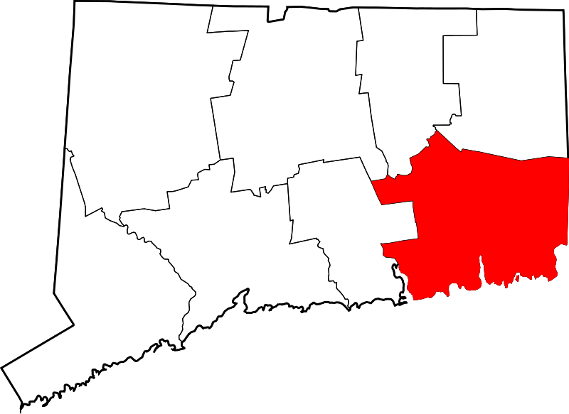
    692 acres in Ledyard, CT

    Parking:

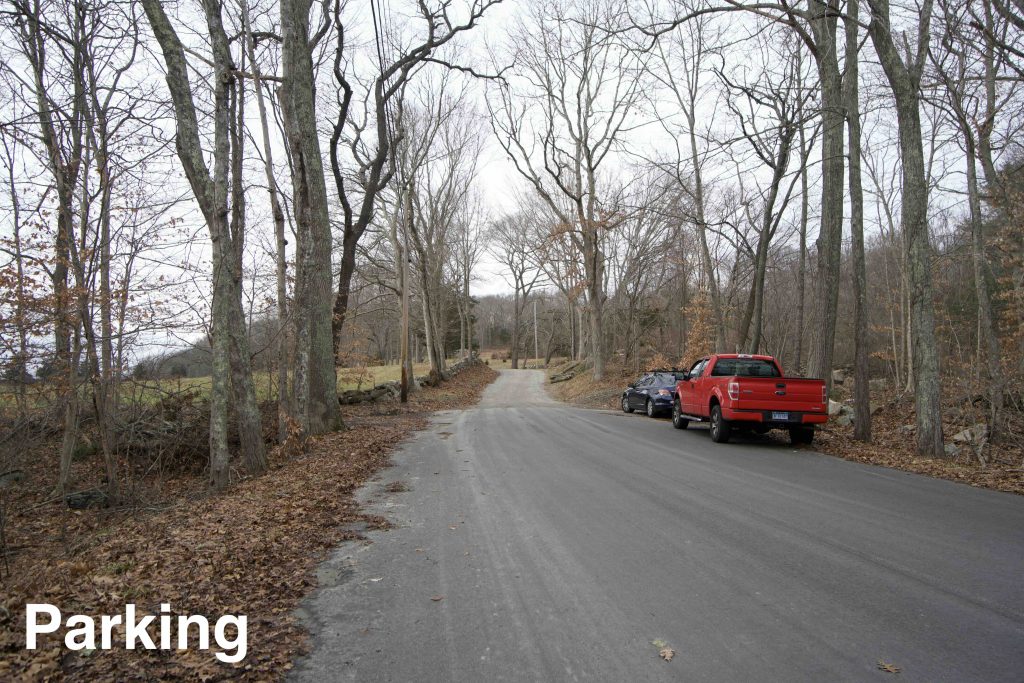
    • Hiking Trail Parking: Shoulder parking near 77-5 Thomas Rd, Ledyard, CT
    • Other Parking: Small lot near 79 Rose Hill Rd Ledyard, CT

    Area Map         Trails: 2 miles     Rating: ★★☆☆☆

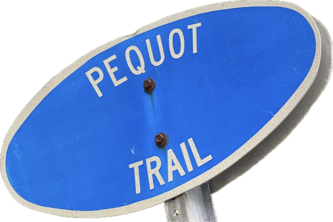
    Rose Hill is one of Connecticut’s 97 ‘Wildlife Management Areas‘ and is trailed almost entirely by the blue blaze Pequot Trail which I thru hiked in January 2021.  I saw at least one unblazed trail and there are fields to explore off Rose Hill Rd.  Hunting is allowed so wear bright colors in-season.

    Hiking

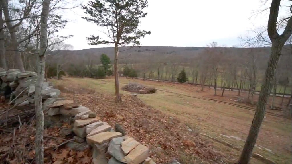
    The 2 mile section of the Pequot Trail skirts the edge of the property climbing to the Rose Hill ridge.  There is a handsome stone wall built along the edge of the ridge which provides one view of a field down over Thomas Rd and if you peer through the trees seasonal views southwest.

    Sections of the trail were pretty wet but were easy enough to keep your feet dry and didn’t deter any of the other groups I saw out hiking the trail.

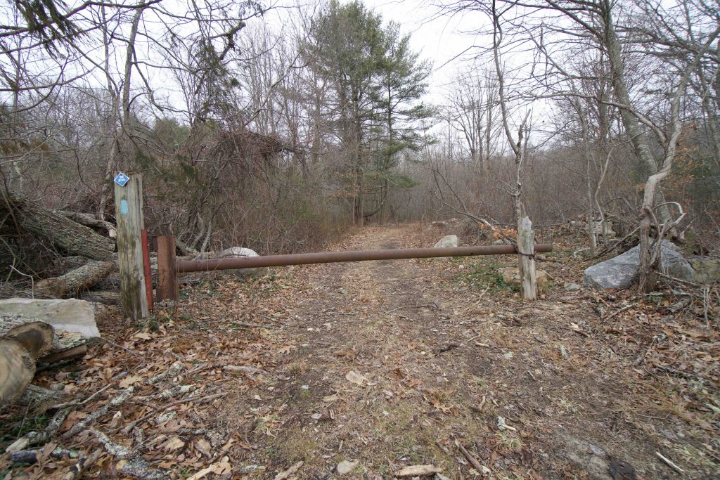
    At the north end of the trail is ruins of what once was a stable/animal pen.  The roof has long since collapsed and it is surrounded by prickers, but inside is a rusted shut gate.

    Pequot Previous Section: 0.3 mile trail in Lincoln/Milton Green Park

    Next Section: 0.75 road walk on Thomas Rd ↔ Mathewson Mill Rd ↔ Fanning Rd

    History

    Rose Hill as a name for the area dates back to at least the late 1800s. I haven’t found a date for when the state acquired the property.

    Tags
    • ★★☆☆☆
    • 2021
    • Explored
    • Ledyard
    • New London County
    • Pequot Trail
    • Wildlife Management Areas
    Last Updated

    The information shown here is for general reference purposes only. exploreCT.org gives no warranty, expressed or implied, as to the accuracy or reliability of this data. Parking in all areas, whether designated here or not, is at your own risk. exploreCT.org is not responsible for any damage or loss to vehicles or contents. Last updated January 2nd, 2021

    Trail Map
    Location
    • 77-5 Thomas Rd, Ledyard, CT, USA

      Get Directions
    Gallery
    Video
    Categories
    • Hiking
    Gallery
  • No comments yet.
  • Add a review

    Leave a Reply · Cancel reply

    Your email address will not be published. Required fields are marked *

    Overall Rating

    You May Also Be Interested In

    Spruce Brook Falls

    • ★★★★★
    • 16 miles
    Featured
    FW6F+CW Beacon Falls
    • Quick view
    • Bookmark

    Thach Preserve

    • ★★☆☆☆
    • 1 miles
    123 Brush Hill Rd
    • Quick view
    • Bookmark

    Mendell's Folly

    • ★★★★☆
    • 3.8 miles
    390 Beacon Rd
    • Quick view
    • Bookmark

    Hi, I’m Matt.

    I’m building ExploreCT to be the guide for all your outdoor adventures. All the trails, views, and waterways this great state has to offer.

    Now get out and explore!

    Monthly Newsletter

    Each month I share site updates or an interesting article in my newsletter. It’s short, sweet, and practical.

    600+ explorers read it, I’d love for you to join.

    Thank you!

    You have successfully joined our subscriber list.

    X-twitter Youtube Envelope Instagram

    Cart

      • Facebook
      • X
      • WhatsApp
      • Telegram
      • LinkedIn
      • Tumblr
      • Reddit
      • VKontakte
      • Mail
      • Copy link
      • Share via...
      • Threads
      • Bluesky