Site logo
    • Explore
      • Blue-Blaze Trails
      • Land Trusts
      • State Parks and Forests
      • By Town
    • exploreCT+
      • Membership
      • Shop
      • Events
    • Blog
    • Town Guides
    Sign in or Register
    Listing cover image

    Avery Preserve

    • Trails
      2 miles
    • Rating
      ★★☆☆☆
    • Address
      Avalonia Land Conservancy, 55-35 Avery Hill Rd, Ledyard, CT 06339, USA
    • Explore
    • Trail Map
    • Reviews 0
    • New Page
    • prev
    • next
    • Bookmark
    • Share
    • Get directions
    • Report
    • prev
    • next
    At A Glance

    Avalonia Land Conservancy

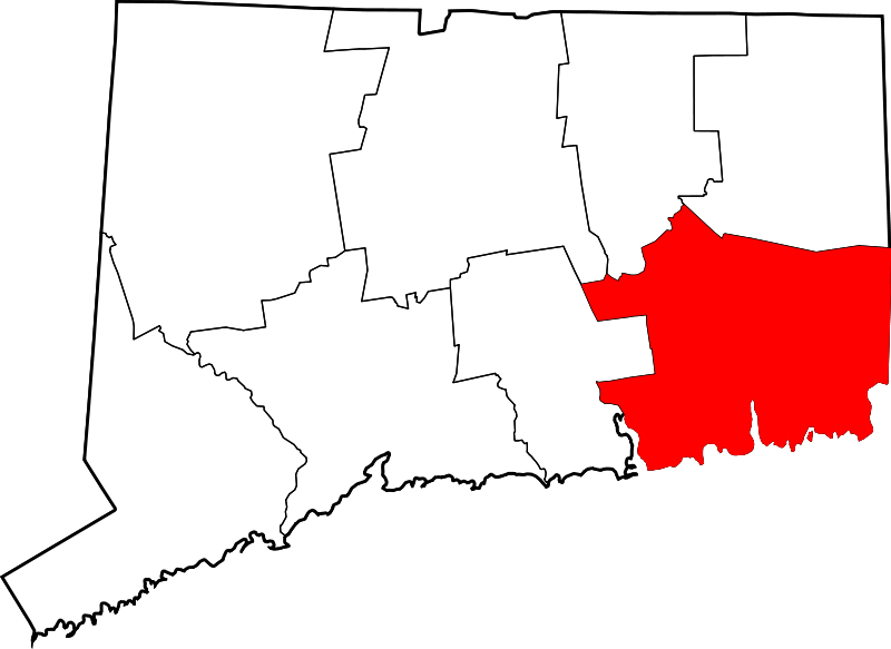
    101.4 acres in Ledyard, CT

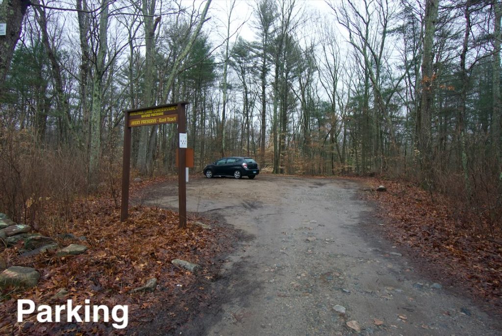
    Parking: Small lot near 55-35 Avery Hill Rd, Ledyard, CT

    Trail Map        Trails: 1.5 miles       Rating: ★★☆☆☆

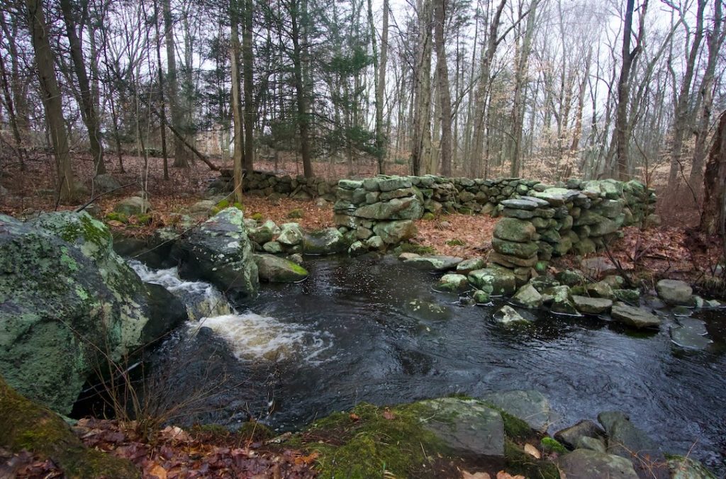
    Avery Preserve the preserved portion of the Amos Avery Homestead split into two parcels by Avery Hill Road.  Highlights include a sheep wash pen, and old dam, and a rhododendron sanctuary.

    Hiking

    The main hiking is west of Avery Hill Rd across from the parking area.  Right off the road is a short trail to the sheep wash pen a curved corral right against Billings-Avery Brook which would have been used to hold the sheep releasing them through the brook prior to shearing.  It is certainly a unique structure.

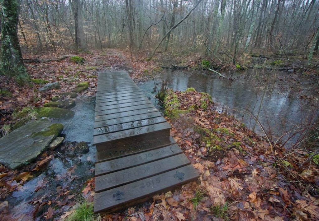
    The main trail is the orange blazed loop around the edge of the property which is close to a mile long.  The trail map notes “stone hand basin” that I expected to see right along the trail, but besides guessing none of the rocks were obvious candidates.  There is a nice footbridge built by Eagle Scout Travis Joyce in 2015 over a wet patch and a bit beyond that is the mill pond dam.

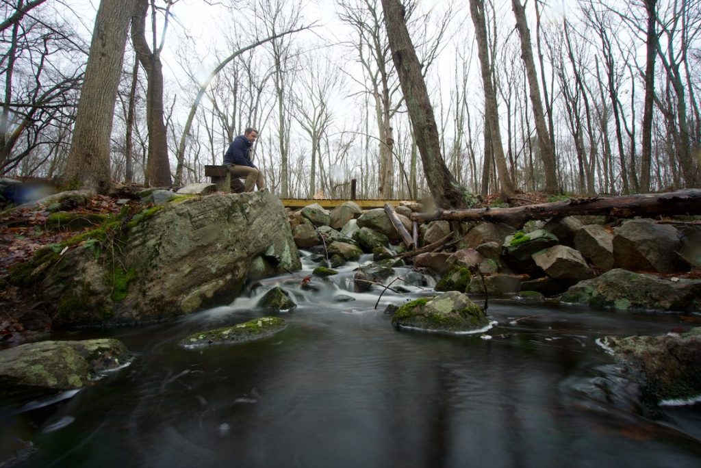
    The dam creates a small cascade on the brook and a bench has been placed to sit and enjoy the view.  Trails appear to continue beyond the dam, but are an old woods road on private property.

    Continuing on the orange trail the terrain becomes more rolling and bumps along old stonewalls.  An odd section with the orange trail blazes heading off in multiple directions caused me a bit of confusion, but they just connect to the white crossing trail in rapid succession.  I stayed on the outside loop coming close to houses on private property until returning to the parking area.

    East Section

    On the same side as the parking area there is a short unblazed trail heading off into the woods that sees infrequent use.  On my last visit it had started to rain and my hiking spidey sense should have kicked off as soon as I started to see old mossy boards placed on the trail.  The trail went deeper and deeper into an almost marshy area with plenty of standing water and not enough boards to keep your feet dry.

    I managed to make it to the turnaround, soaking my feet in the process, to discover a deep rhododendron grove.  It must be a safe haven for deer as the entire lollipop loop was covered in their droppings.  I’m sure the area is nice when the rhododendron are blooming in July, but I would recommend skipping the trail any other time.

    History

    The west tract was preserved in 1970, the east tract in 1977, and the tiny sheep wash area in 1995.  In order to get to the preserve you’ll likely pass the bright red colonial house on Avery Hill Road.  This house is the oldest in Ledyard, built in 1696 and was home to several generations of the Avery family.  It was added to the National Register of Historic Places in 1992.

    Links

    Peter Marteka – A Rare Native Stand In A Ledyard Preserve (2017)

    Avery Homestead – Wikipedia & National Register of Historic Places

    Beth Sullivan – Avalonia eTrails Blog on Avery Preserve (2015)

    Tags
    • ★★☆☆☆
    • 2020
    • Explored
    • Avalonia Land Conservancy
    • Ledyard
    • New London County
    • Peter Marteka
    Last Updated

    The information shown here is for general reference purposes only. exploreCT.org gives no warranty, expressed or implied, as to the accuracy or reliability of this data. Parking in all areas, whether designated here or not, is at your own risk. exploreCT.org is not responsible for any damage or loss to vehicles or contents. Last updated February 10th, 2020

    Trail Map
    Location
    • Avalonia Land Conservancy, 55-35 Avery Hill Rd, Ledyard, CT 06339, USA

      Get Directions
    Gallery
    Categories
    • Hiking
    Gallery
  • No comments yet.
  • Add a review

    Leave a Reply · Cancel reply

    Your email address will not be published. Required fields are marked *

    Overall Rating

    You May Also Be Interested In

    Spruce Brook Falls

    • ★★★★★
    • 16 miles
    Featured
    FW6F+CW Beacon Falls
    • Quick view
    • Bookmark

    Thach Preserve

    • ★★☆☆☆
    • 1 miles
    123 Brush Hill Rd
    • Quick view
    • Bookmark

    Mendell's Folly

    • ★★★★☆
    • 3.8 miles
    390 Beacon Rd
    • Quick view
    • Bookmark

    Hi, I’m Matt.

    I’m building ExploreCT to be the guide for all your outdoor adventures. All the trails, views, and waterways this great state has to offer.

    Now get out and explore!

    Monthly Newsletter

    Each month I share site updates or an interesting article in my newsletter. It’s short, sweet, and practical.

    600+ explorers read it, I’d love for you to join.

    Thank you!

    You have successfully joined our subscriber list.

    X-twitter Youtube Envelope Instagram

    Cart

      • Facebook
      • X
      • WhatsApp
      • Telegram
      • LinkedIn
      • Tumblr
      • Reddit
      • VKontakte
      • Mail
      • Copy link
      • Share via...
      • Threads
      • Bluesky