Site logo
    • Explore
      • Blue-Blaze Trails
      • Land Trusts
      • State Parks and Forests
      • By Town
    • exploreCT+
      • Membership
      • Shop
      • Events
    • Blog
    • Town Guides
    Sign in or Register
    Listing cover image

    Pine Swamp Wildlife Corridor

    • Trails
      3 miles
    • Rating
      ★★☆☆☆
    • Address
      113 Whalehead Road, Gales Ferry, Ledyard, Gales Ferry, CT, USA
    • Explore
    • Trail Map
    • Reviews 0
    • New Page
    • prev
    • next
    • Bookmark
    • Share
    • Get directions
    • Report
    • prev
    • next
    At A Glance

    Avalonia Land Conservancy

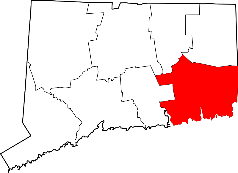
    322 acres in Ledyard, CT

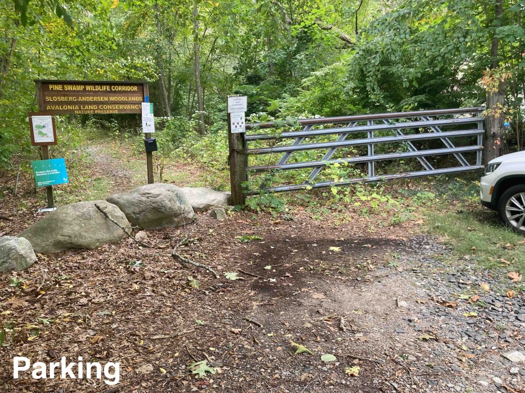
    Parking: Small pull-off near 113 Whalehead Drive, Ledyard, CT

    Trail Map           Trails: 2.65 miles       Rating: ★★☆☆☆

    Pine Swamp Wildlife Corridor is the banner name for the parcels like the Slosberg-Andersen Woodlands, Dow Centennial Preserve, and Harry Leiser Preserve

    Hiking

    While there are technically eight trailheads to this property I stared from the only one with off the road parking at Whalebone Road. The trail heads off into the woods on an old access road that winds down to a small view of the water passing blue blazes.  You soon reach the utility corridor which is undergoing expansion work by Eversource through at least 2023.

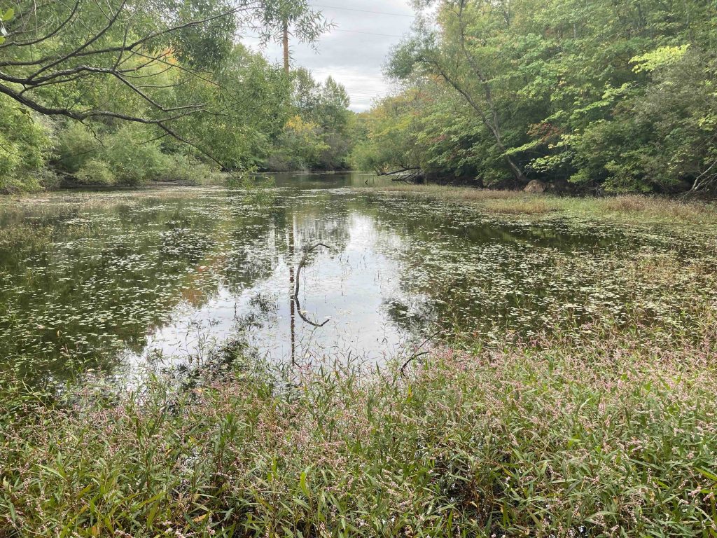
    The trail and power lines are a narrow strip through interesting ponds.  They’re unnamed as far as I can tell and provide nice views and even some open water access on both sides encircling what I assume are the namesake swamps.

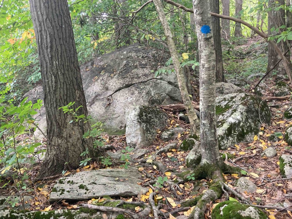
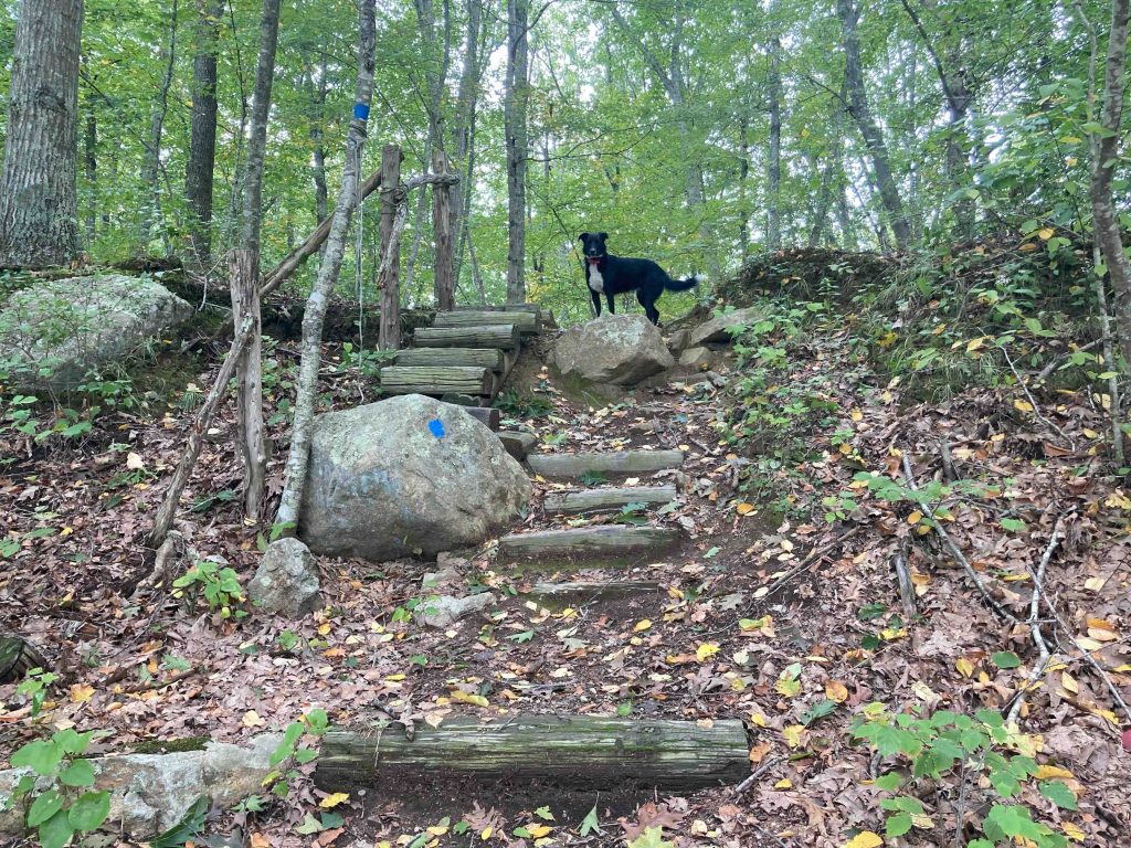
    Following the gravel road through the construction zone you evenutally reach a sign for the turn off to the blue dot loop trail.  At just 1.3 miles the loop is short but packs many different sights.  Rocky glacial till, marshy seasonal stream, open pine forest, a sea of ferns, close to private private property, tight tunnel through thick overgrowth, and more all flowing into each other.

    I missed the yellow trail out to Friar Tuck Drive, it may have been there and I just missed it.  The red spur towards Hillside Drive was very clearly marked but I decided to skip the extra 1.3 out and back.  The blue dot trail flowed right back into the blue blazed utility corridor. I searched the sides for the other yellow trail but didn’t have any luck.  It’s possible it’s unmaintained while Eversource is working on the lines or I was just looking at the wrong points.

    It turned out to a great and varied short loop with plenty of reasons to explore again on a return trip.

    History

    This area was possibly known to the Pequots as Ohomowauke meaning ‘owls’ nest’ or Cuppacommock meaning ‘the hiding place’ as a refuge for its remoteness and inaccessibility.

    In colonial times, Pine Swamp was known as “Mast Swamp” for its supply of ship masts and spars for over a century. The last known pines were removed from the swamp in 1820, the final ones having been cut to supply ships in the Revolutionary War and War of 1812.

    The North Tract, 162.81 acres, comprising:

    • Dow Centennial Preserve, 97.17 acres (1997)
    • Slosberg-Andersen Woodlands, 55.98 acres (2003)
    • Town of Ledyard transfers, 4 parcels totaling 7.46 acres (2005)
    • Town of Ledyard transfers, 2 parcels totaling 2.2 acres (2014)

    And the South Tract, 102.11 acres, comprising

    • Slosberg-Anderson Woodlands, 94.24 acres (2003)
    • Town of Ledyard transfers, 1.31 acres (2005)
    • Town of Ledyard transfer, 6.56 acres (2014)Avalonia E-Trails Blog – Pine Swamp Wildlife Corridor Part 1 and Part 2 (2014)

      Peter Marteka – A Visit To Ledyard’s Land Of Boulders And An Ancient Pine Swamp (2013)

    Links

    Avalonia E-Trails Blog – Pine Swamp Wildlife Corridor Part 1 and Part 2 (2014)

    Peter Marteka – A Visit To Ledyard’s Land Of Boulders And An Ancient Pine Swamp (2013)

    Tags
    • ★★☆☆☆
    • 2022
    • Explored
    • Avalonia Land Conservancy
    • Ledyard
    • Peter Marteka
    • New London County
    Last Updated

    The information shown here is for general reference purposes only. exploreCT.org gives no warranty, expressed or implied, as to the accuracy or reliability of this data. Parking in all areas, whether designated here or not, is at your own risk. exploreCT.org is not responsible for any damage or loss to vehicles or contents. Last updated: October 2nd, 2022

    Trail Map
    Location
    • 113 Whalehead Road, Gales Ferry, Ledyard, Gales Ferry, CT, USA

      Get Directions
    Gallery
    Categories
    • Hiking
    Gallery
  • No comments yet.
  • Add a review

    Leave a Reply · Cancel reply

    Your email address will not be published. Required fields are marked *

    Overall Rating

    You May Also Be Interested In

    Spruce Brook Falls

    • ★★★★★
    • 16 miles
    Featured
    FW6F+CW Beacon Falls
    • Quick view
    • Bookmark

    Thach Preserve

    • ★★☆☆☆
    • 1 miles
    123 Brush Hill Rd
    • Quick view
    • Bookmark

    Mendell's Folly

    • ★★★★☆
    • 3.8 miles
    390 Beacon Rd
    • Quick view
    • Bookmark

    Hi, I’m Matt.

    I’m building ExploreCT to be the guide for all your outdoor adventures. All the trails, views, and waterways this great state has to offer.

    Now get out and explore!

    Monthly Newsletter

    Each month I share site updates or an interesting article in my newsletter. It’s short, sweet, and practical.

    600+ explorers read it, I’d love for you to join.

    Thank you!

    You have successfully joined our subscriber list.

    X-twitter Youtube Envelope Instagram

    Cart

      • Facebook
      • X
      • WhatsApp
      • Telegram
      • LinkedIn
      • Tumblr
      • Reddit
      • VKontakte
      • Mail
      • Copy link
      • Share via...
      • Threads
      • Bluesky