
★★★☆☆
41.913346, -72.095686
Crystal Pond Park Eastford and Woodstock Community Park 120 acres in Eastford and Woodstock, CT Parking: Large lot near 305 Crystal Pond Road, Woodstock, CT Trail Map Trails:… Read more…
(Part of Windham County)
If you’re looking for the best hiking trails in Woodstock this is the complete guide to all the long trails, waterfalls, and history it has to offer.
Woodstock is the second largest town in the state, encompassing 61.8 square miles (after New Milford). There are 11 hikeable locations with a dozen miles of trails, 4 options for boating/fishing, and a handful of unique local bakeries breweries and stores.
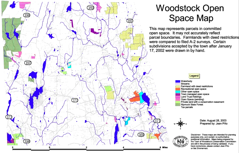
Town Parks
Land Trust
State Parks / Forest
Blue Blaze
The Rest
Geologically a glacial drumlin field. The area was historically home to the Wabbaquasset tribe or band meaning “mat producing country” part of the larger Nipmuck tribe. The Old Connecticut Path which ran from the Connecticut River to modern day Boston passed through Woodstock above Crystal and Woodstock Ponds. At the time the settlers came, Wabbaquasset country was held by the Mohegan Uncas as a Pequot conquest. The land was formally deeded to Captain James Fitch in 1680 and in 1686, residents from Massachusetts settled the area and called it New Roxbury.
The Puritan missionary John Eliot encouraged the Native Americans to form a village of “Praying Indians” in South Woodstock. He called it Wahbuquoshish meaning “near the bend in the outlet from Woodstock Pond.” In 1934, Arthur Basto, an amateur archeologist, confirmed that this village was located near Woodstock Pond, on the site of the William Basto Farm.
While largely agricultural in nature, “by 1820, there were 2 distilleries, 2 wheel wrights, an oil mill, fulling mill, carding machines, grist mills, saw mills, a goldsmith, and twine and cotton batting operations. Woodstock Valley was known for its shoe factories,” according to the history page at the Woodstock town site. Industry didn’t last long, reverting to a rural town and becoming a summer destination for wealthy city dwellers.
Now go out and hike Woodstock, CT!

★★★☆☆
41.913346, -72.095686
Crystal Pond Park Eastford and Woodstock Community Park 120 acres in Eastford and Woodstock, CT Parking: Large lot near 305 Crystal Pond Road, Woodstock, CT Trail Map Trails:… Read more…